After our second night in the fabulous AirBnb, Pedro and I hit the highways of southern New Mexico to get closer to where the wedding would be on Saturday. Our next night would be in the town of Tularosa.
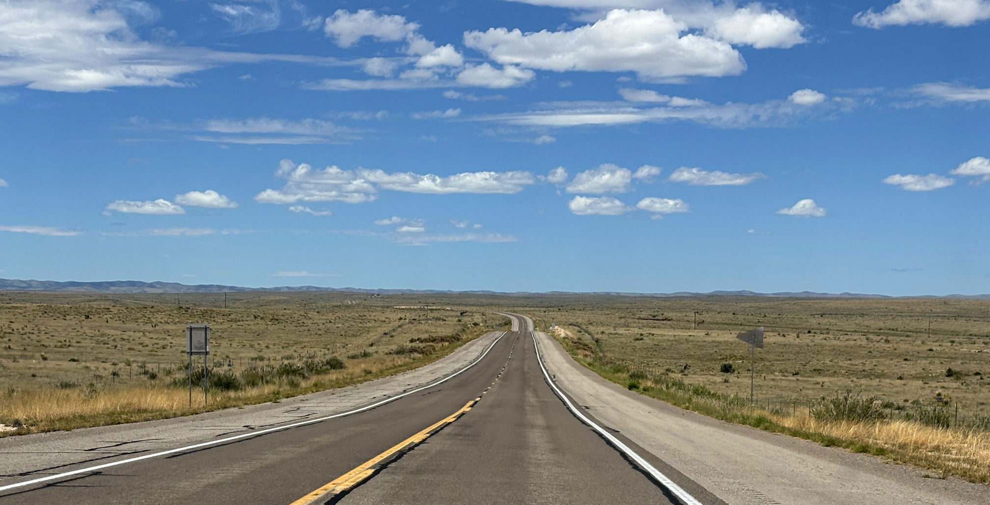
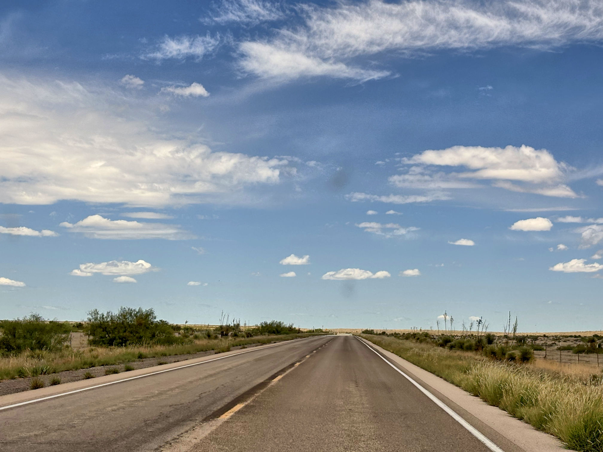
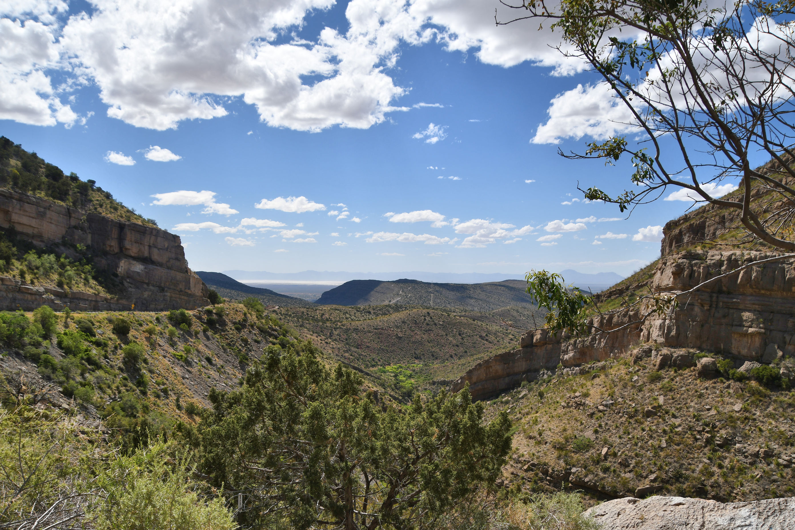
To break up the roadtrip, I had used my AllTrails app to find a trail along our journey on Friday. There was a place with the aspirational-sounding name of Cloudcroft. Our excellent salesman, Jesus, had talked about it the day before when we visited the Mexican import store. He had raved. But really, looking at the landscape above, we weren’t sure it could be all that.
In the photo above, you can barely see hints of higher elevation on the horizon. We reached those eventually, and it was much more dramatic than we expected.
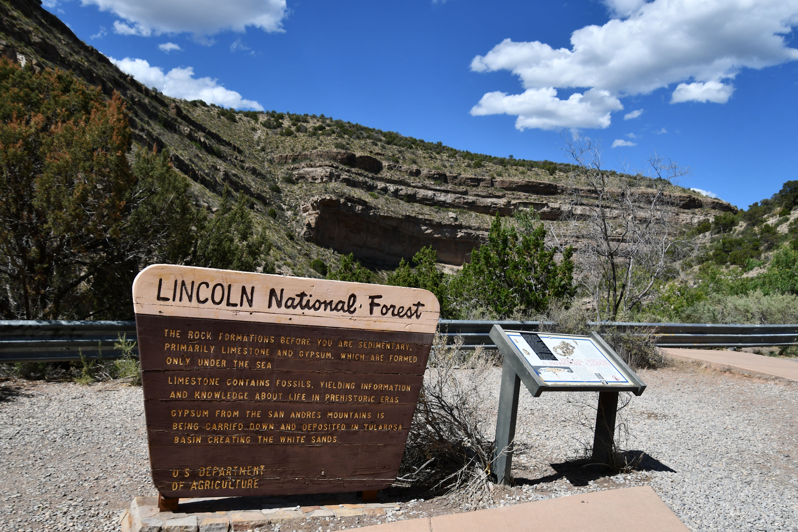
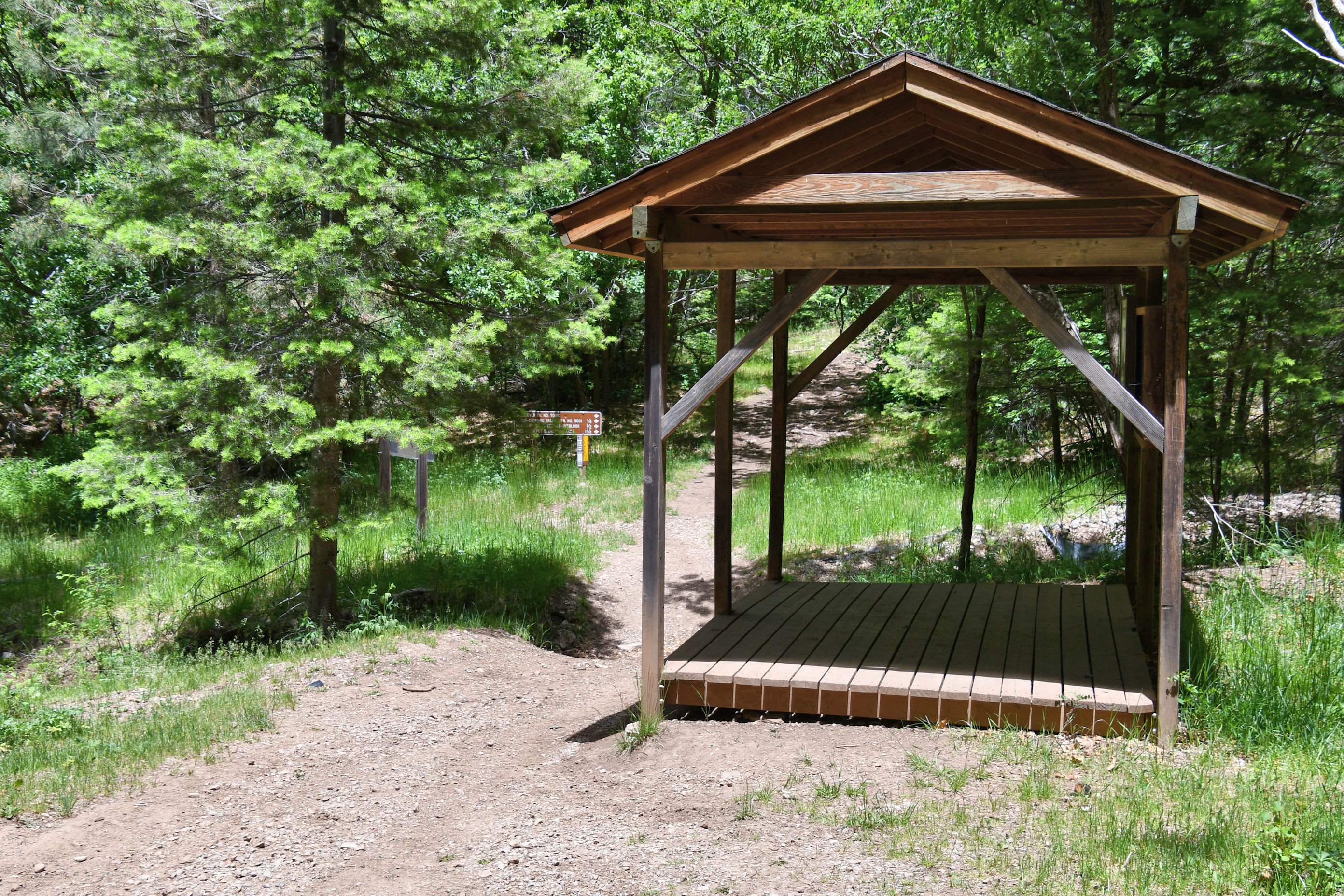
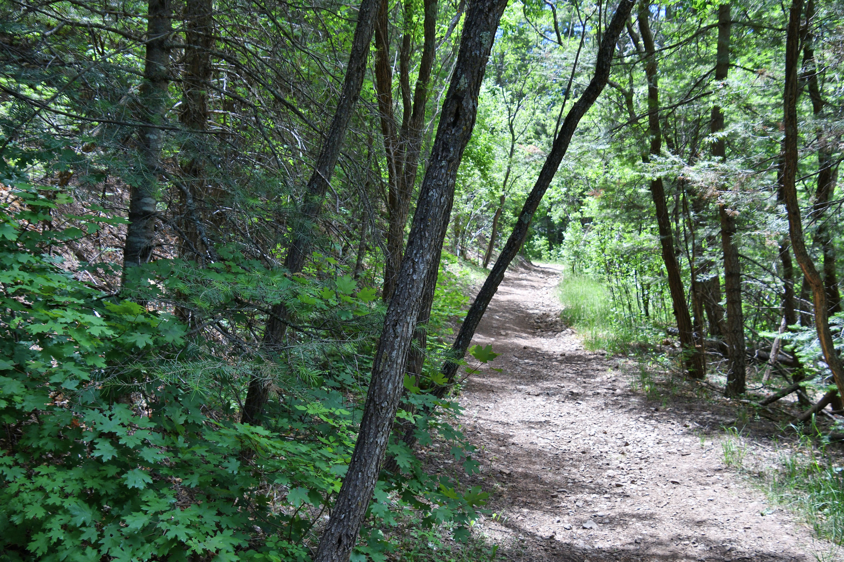
We did have hope that the trail we were heading for now might be interesting, if there were elevation changes. We were not expecting a real, honest-to-god forest, but in the end we had that too. Shade, elevation, beauty, and free parking with my America the Beautiful Pass.
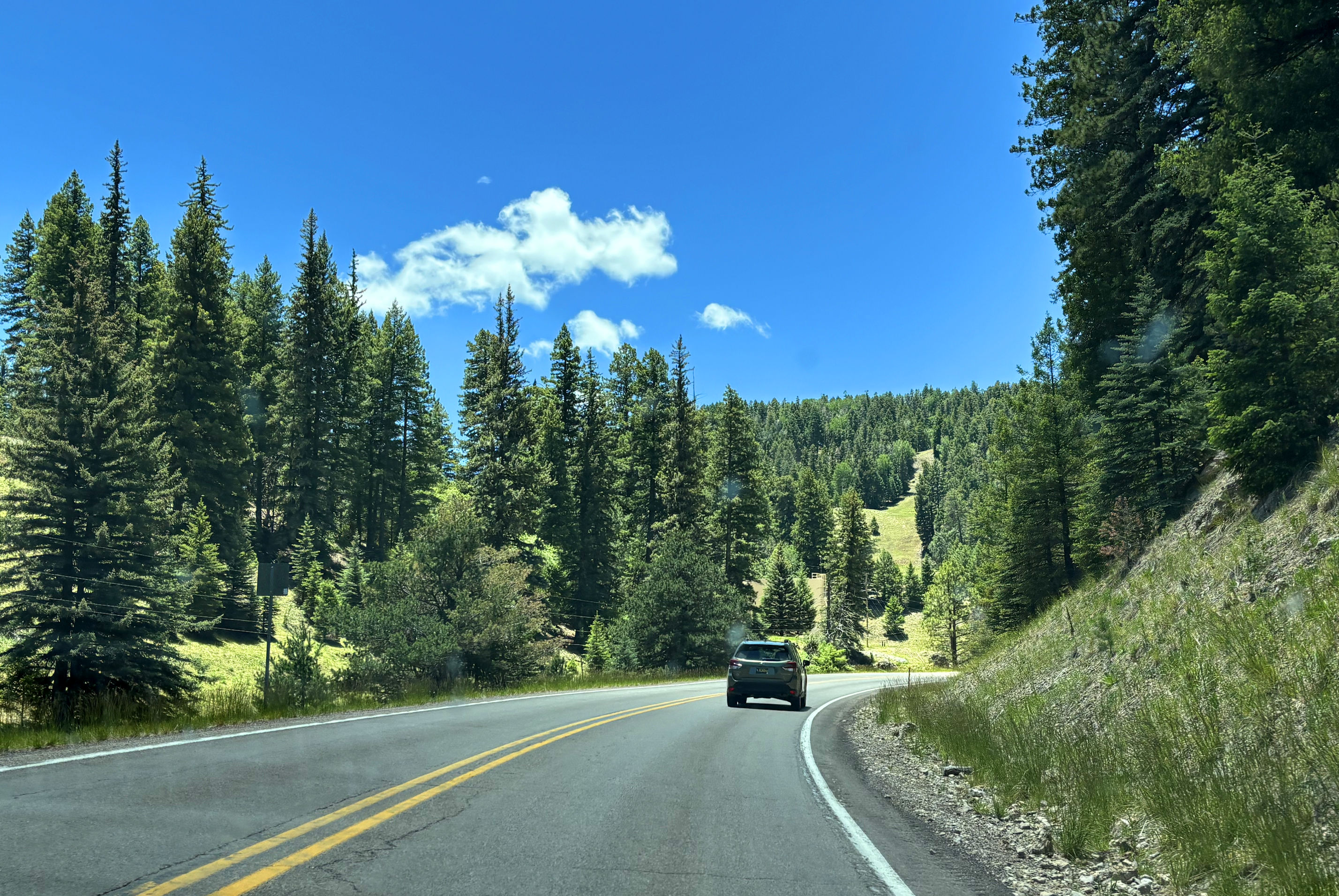
The air got cooler, the landscape transformed, and soon it was time to pull onto a side road and find our trailhead. It was very easy to find the parking area with great bathrooms at the trailhead for Old Cloudcroft Highway Trail Loop. We changed into hiking shoes and off we went, eager to stretch our legs and revel in the cool air after all the heat of the days prior.
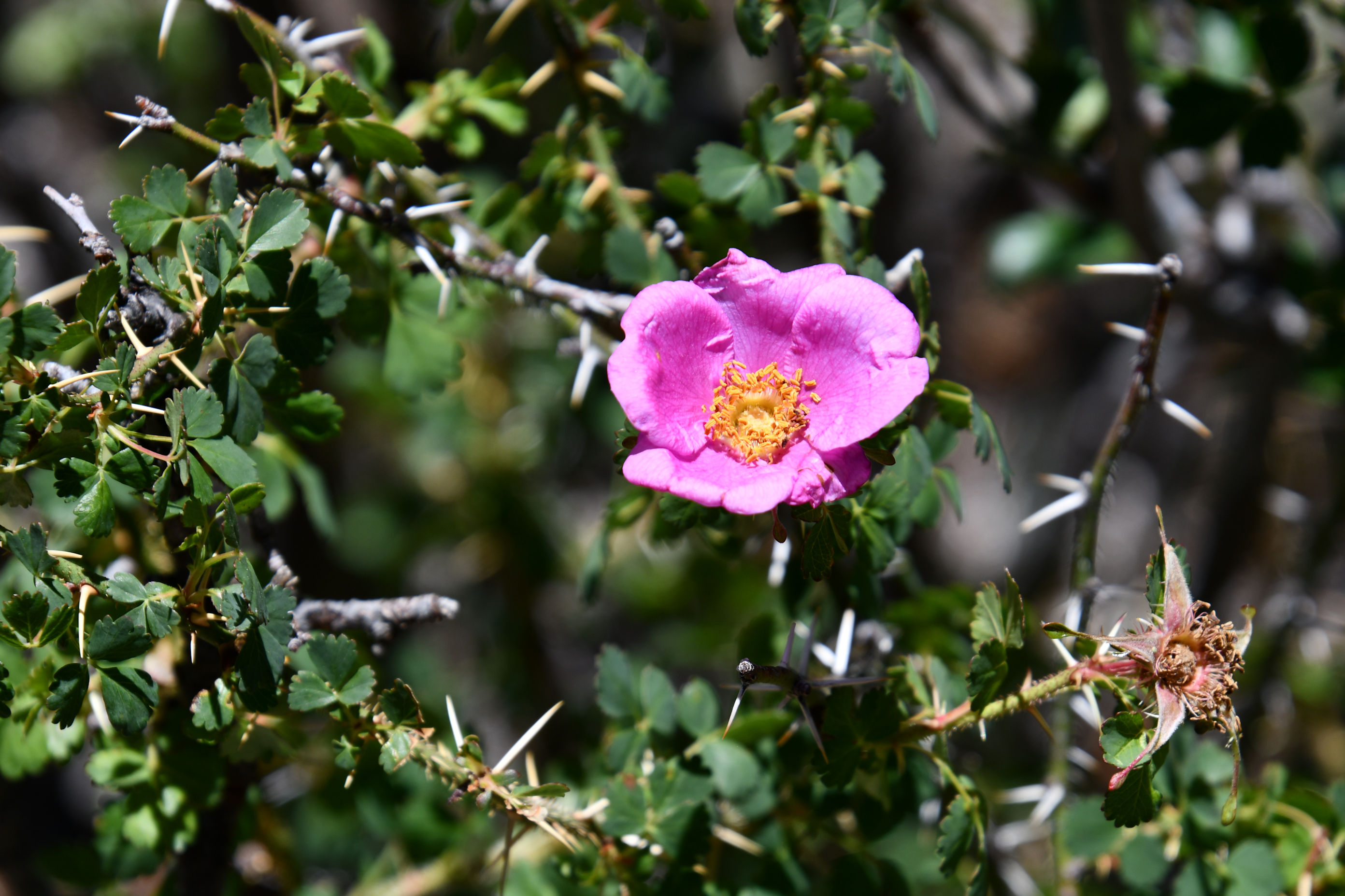

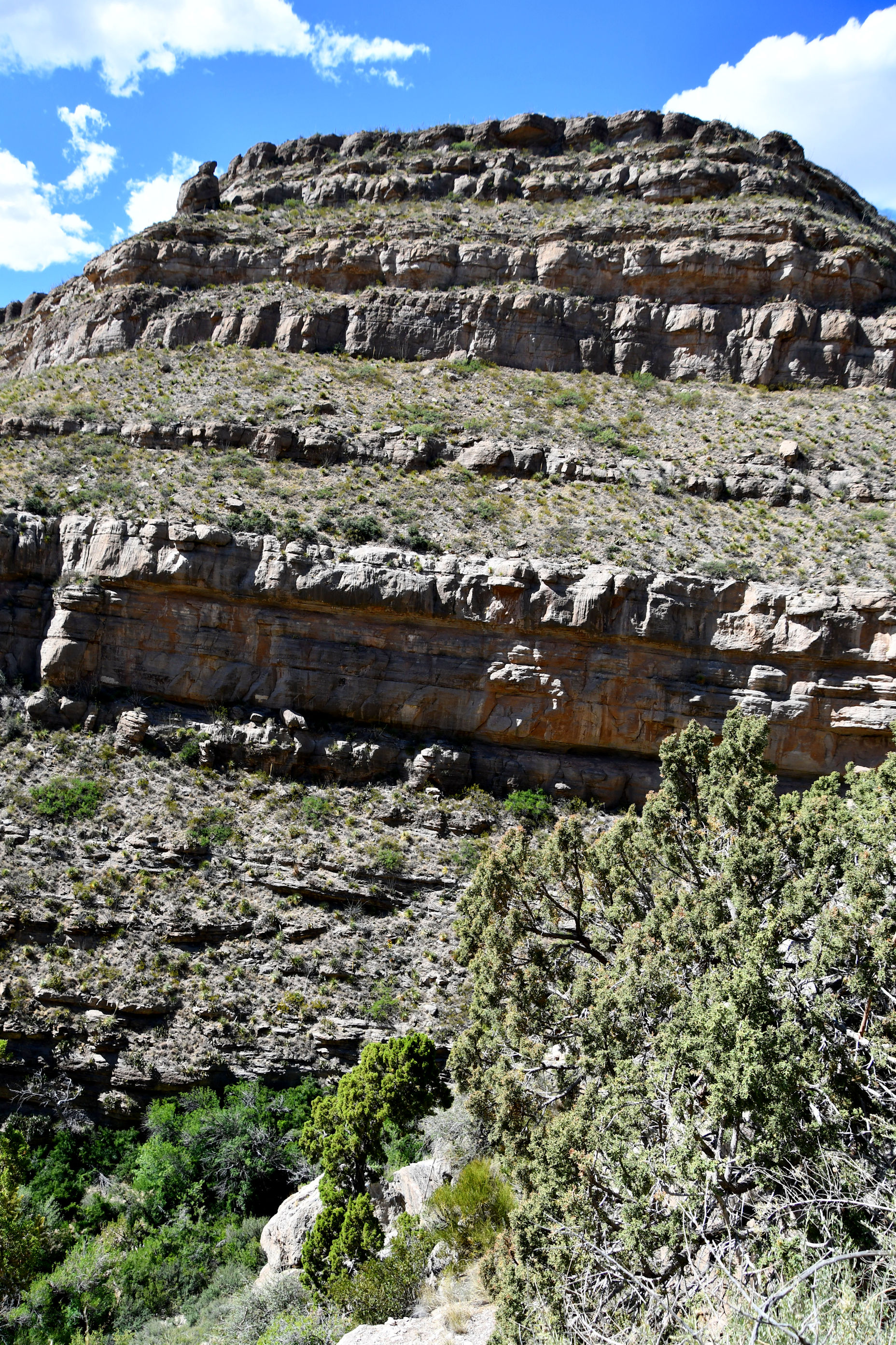
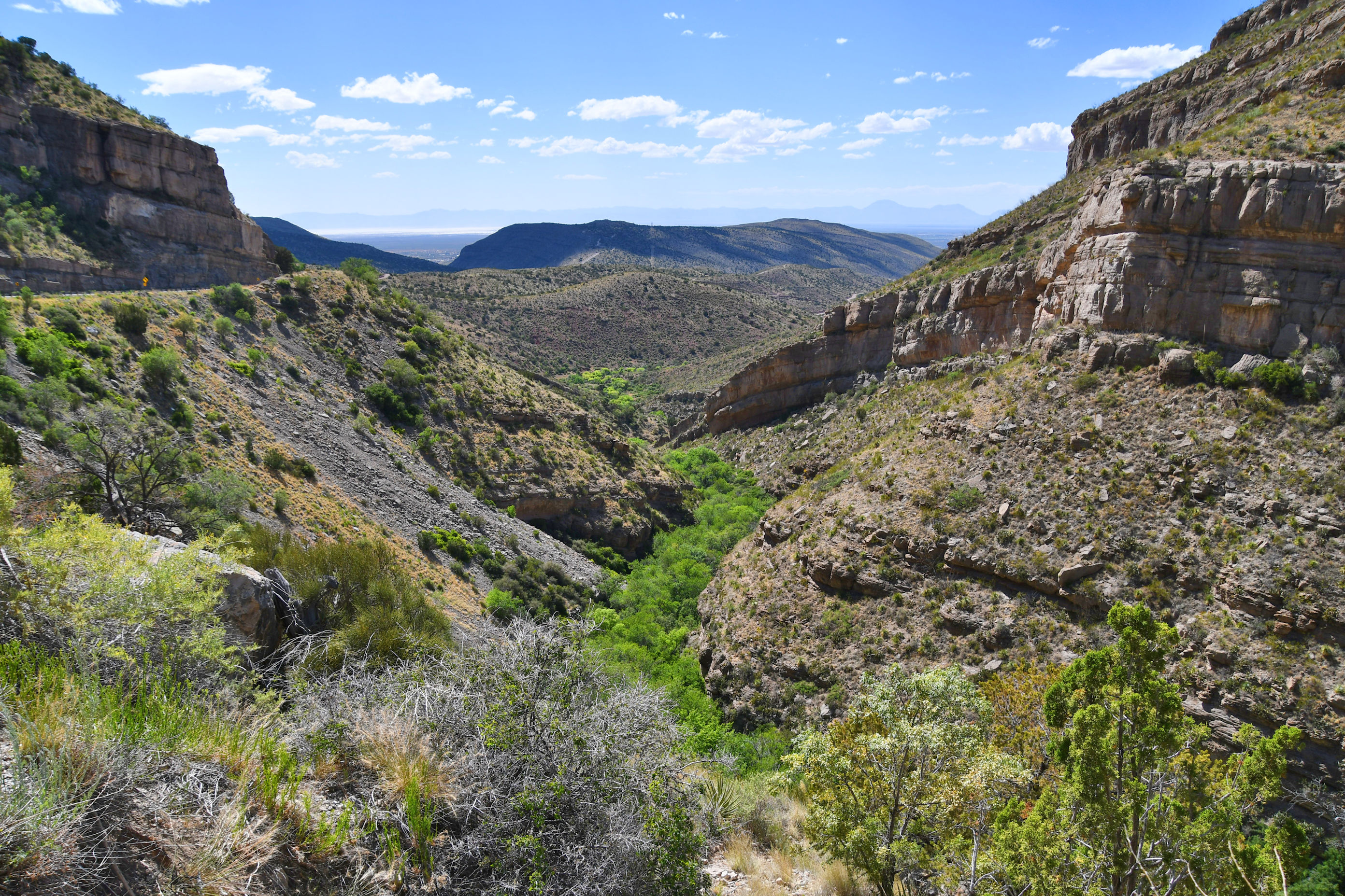
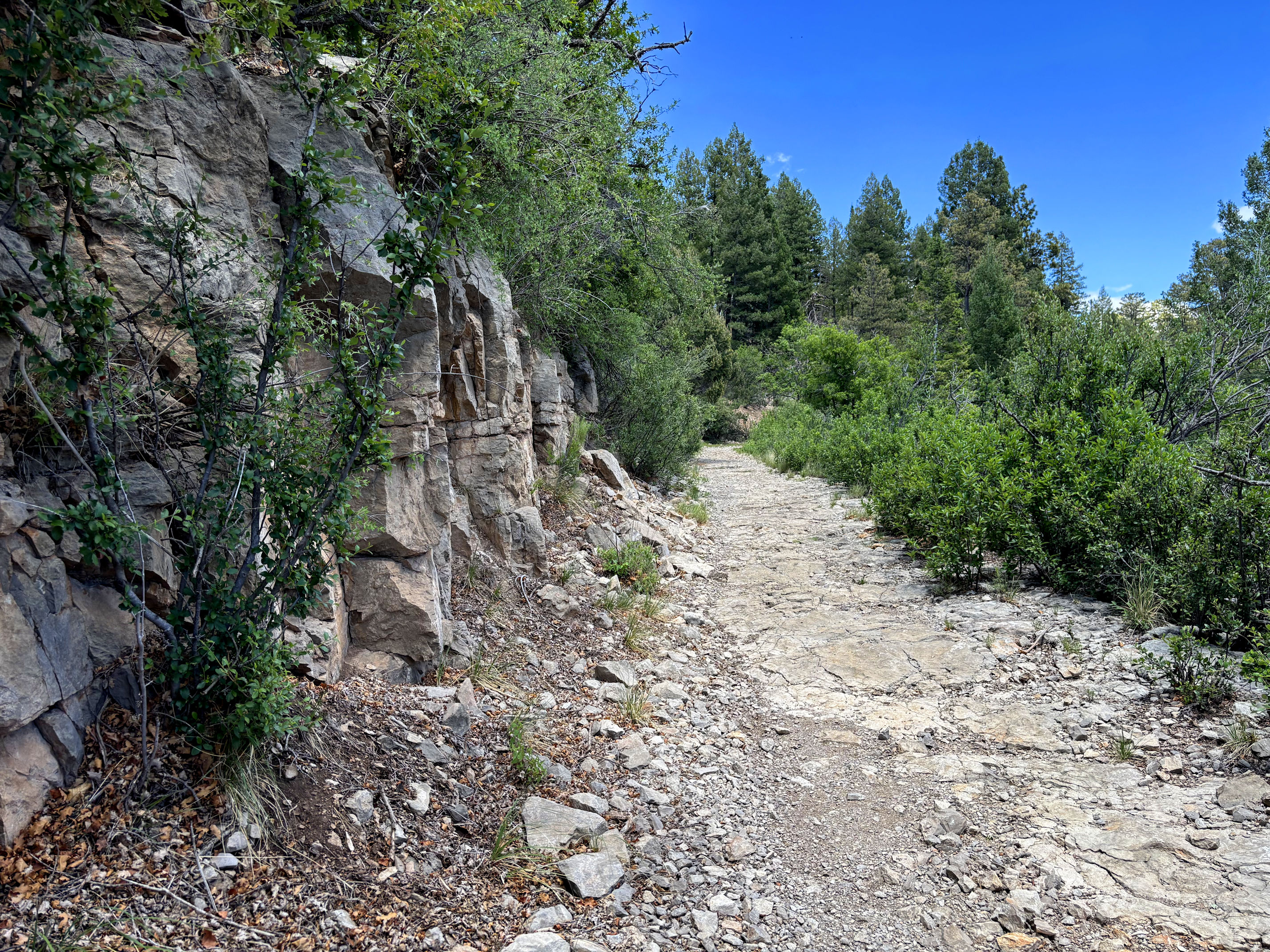
The mountains were impressive. We hiked at elevations between 8,000 and 8,500 feet (2438-2591 m). The weather was fine, and with elevations that high, we had some great views along the trail, when the trees weren’t in the way.
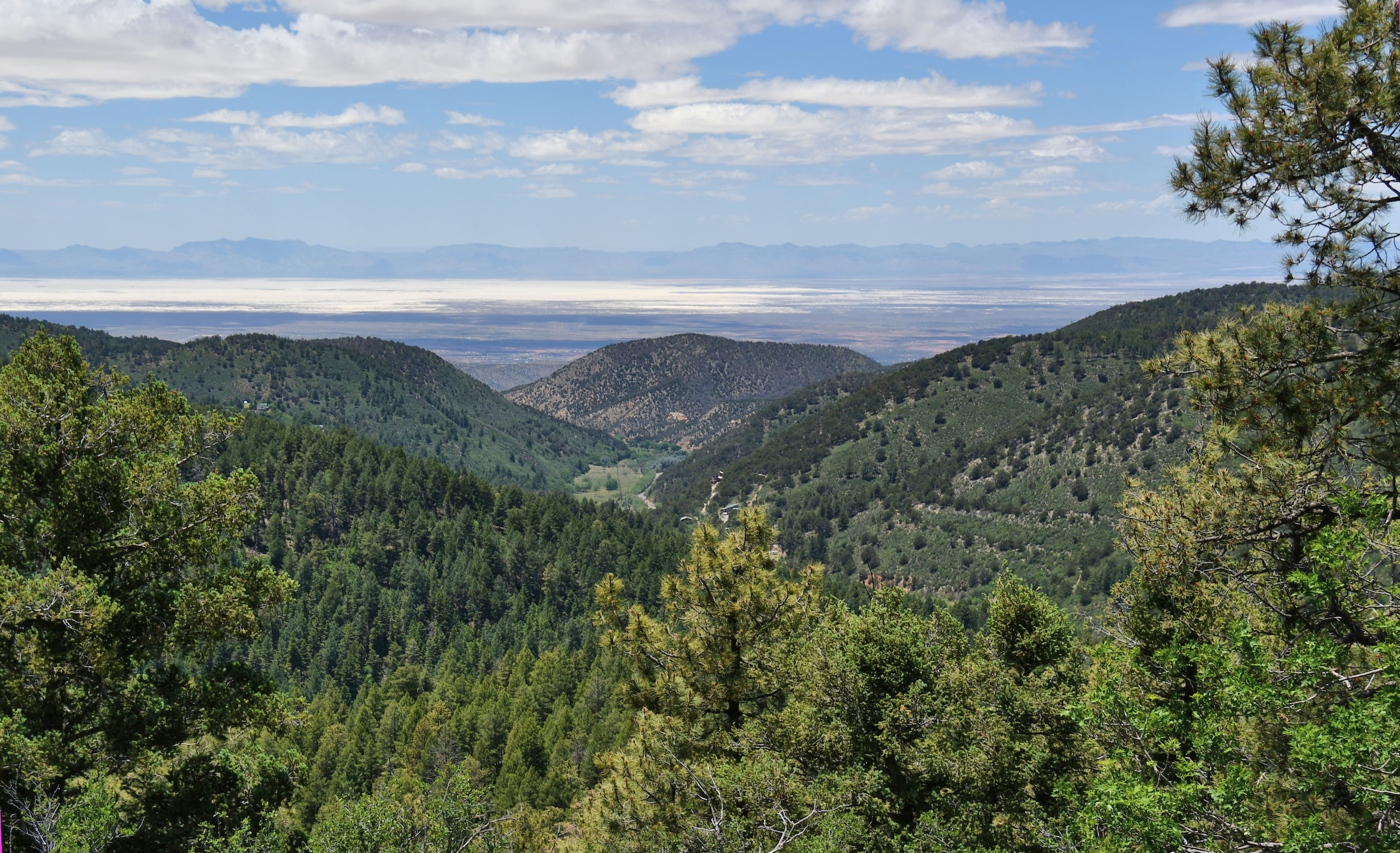
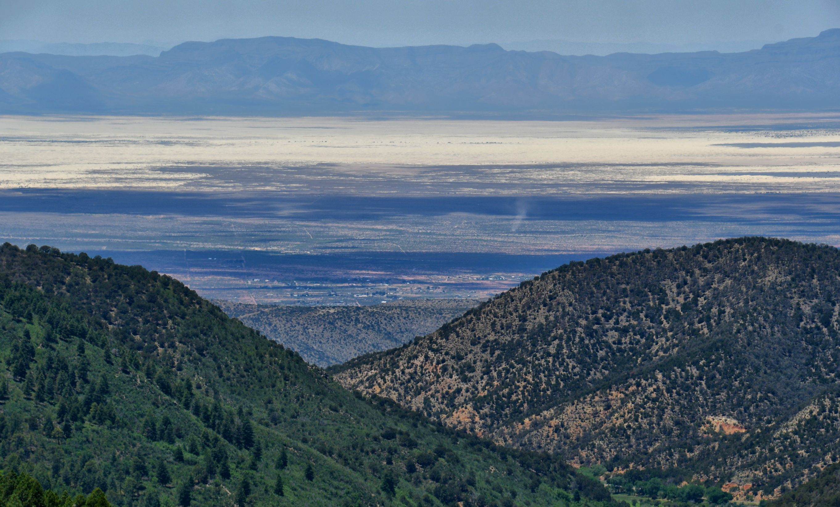
It was my very first time in this area, and even though White Sands National Park was on our itinerary, I had no idea that is what we were looking at. In fact, we would be IN that park that very evening. It will be my next post.
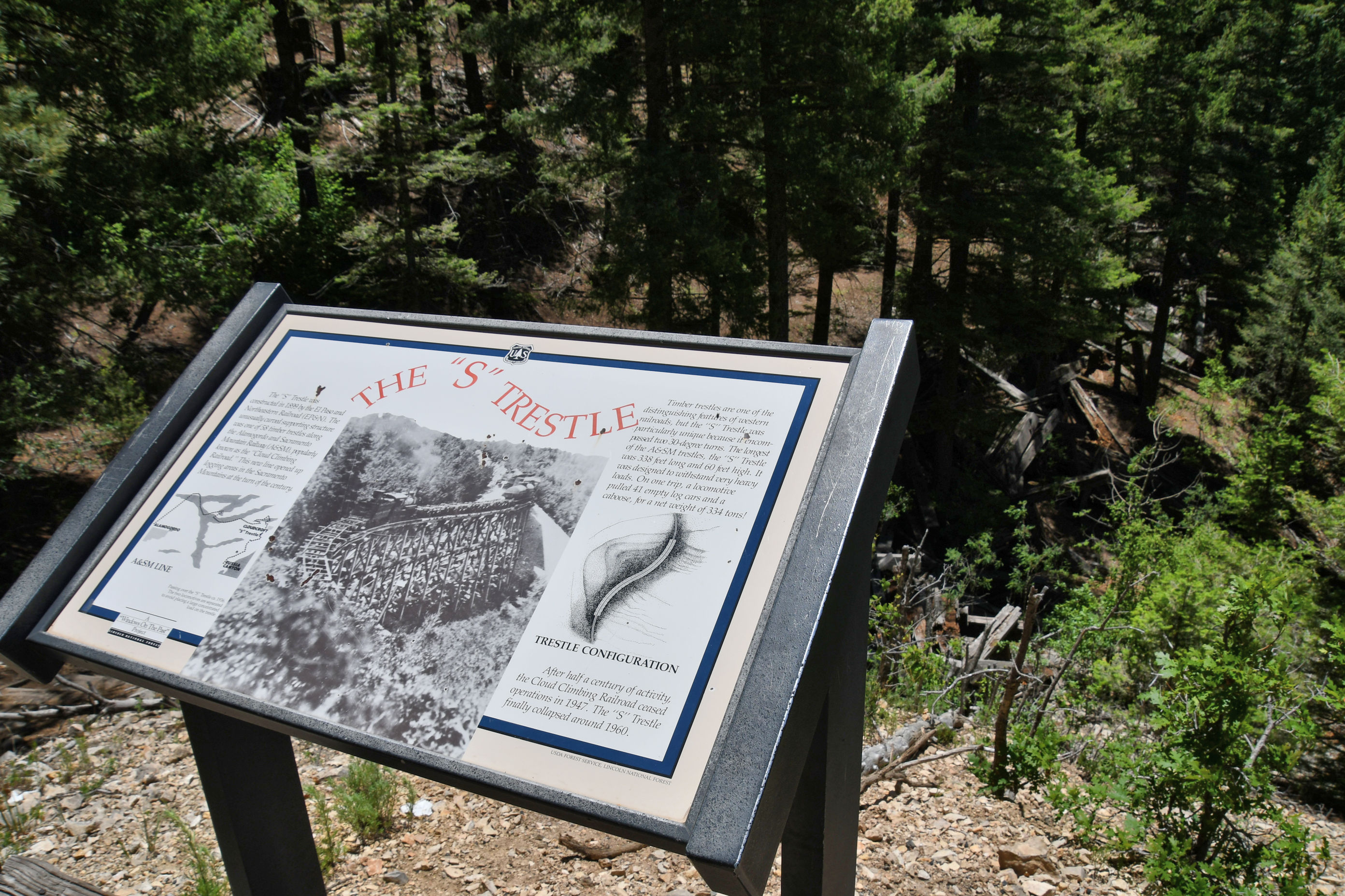

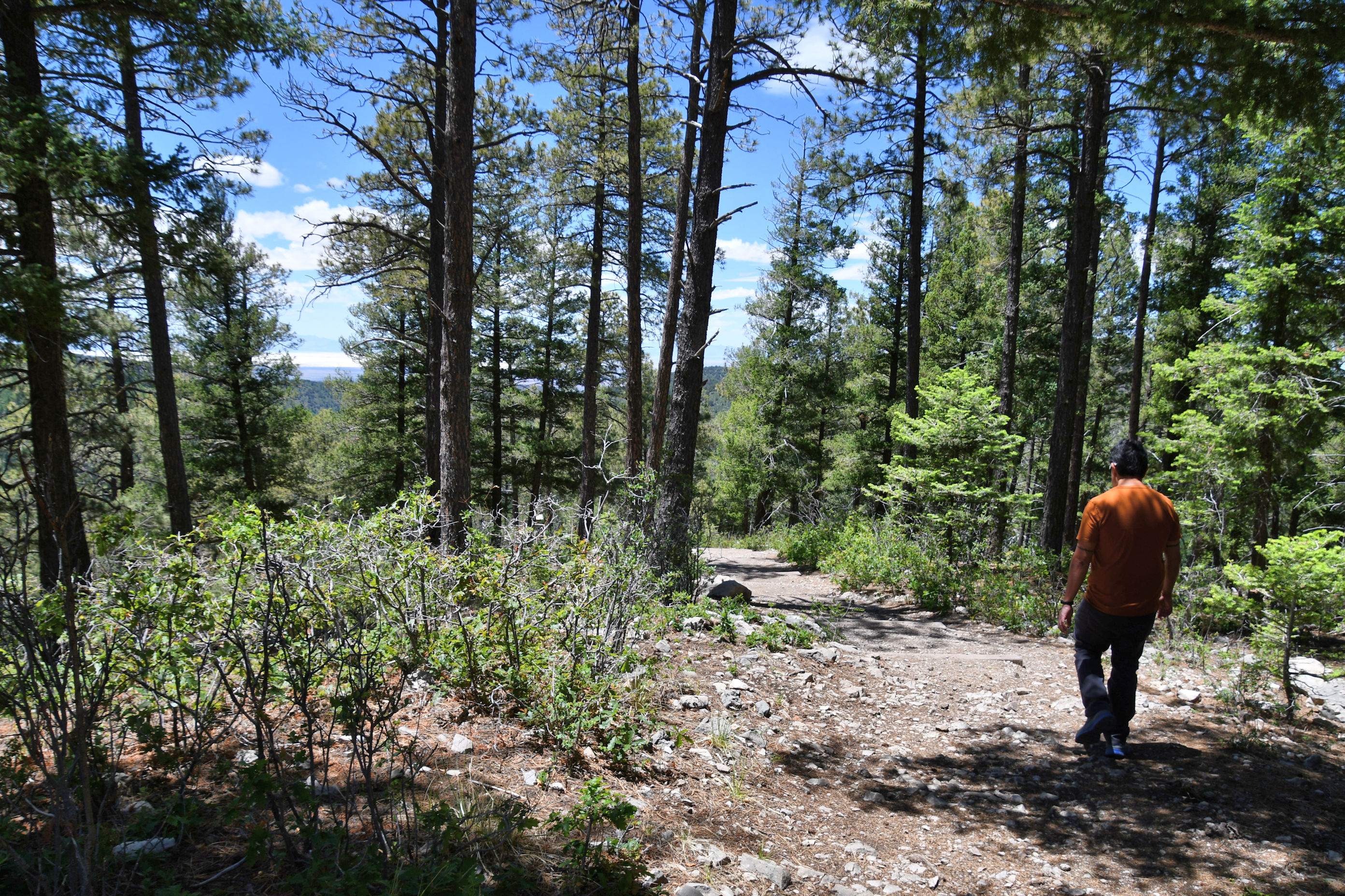
At first I was a little too cool, due to the elevation making it chilly here. But the end of the trail was all uphill, and that warmed us up considerably.
We had worked up an amazing appetite, and recalled seeing a sign for craft beer and artisan pizza somewhere in the tiny town. We quickly found Cloudcroft Brewing Company and asked for seating outside in their spacious and beautiful patio. The pizza was outstanding, and the craft beer was great. It was an excellent discovery. I cannot tell you how important it is to the enjoyment of travel when you find great food and drink.
But it was time to get going and find our next room in the daylight. Off we went to Tularosa.

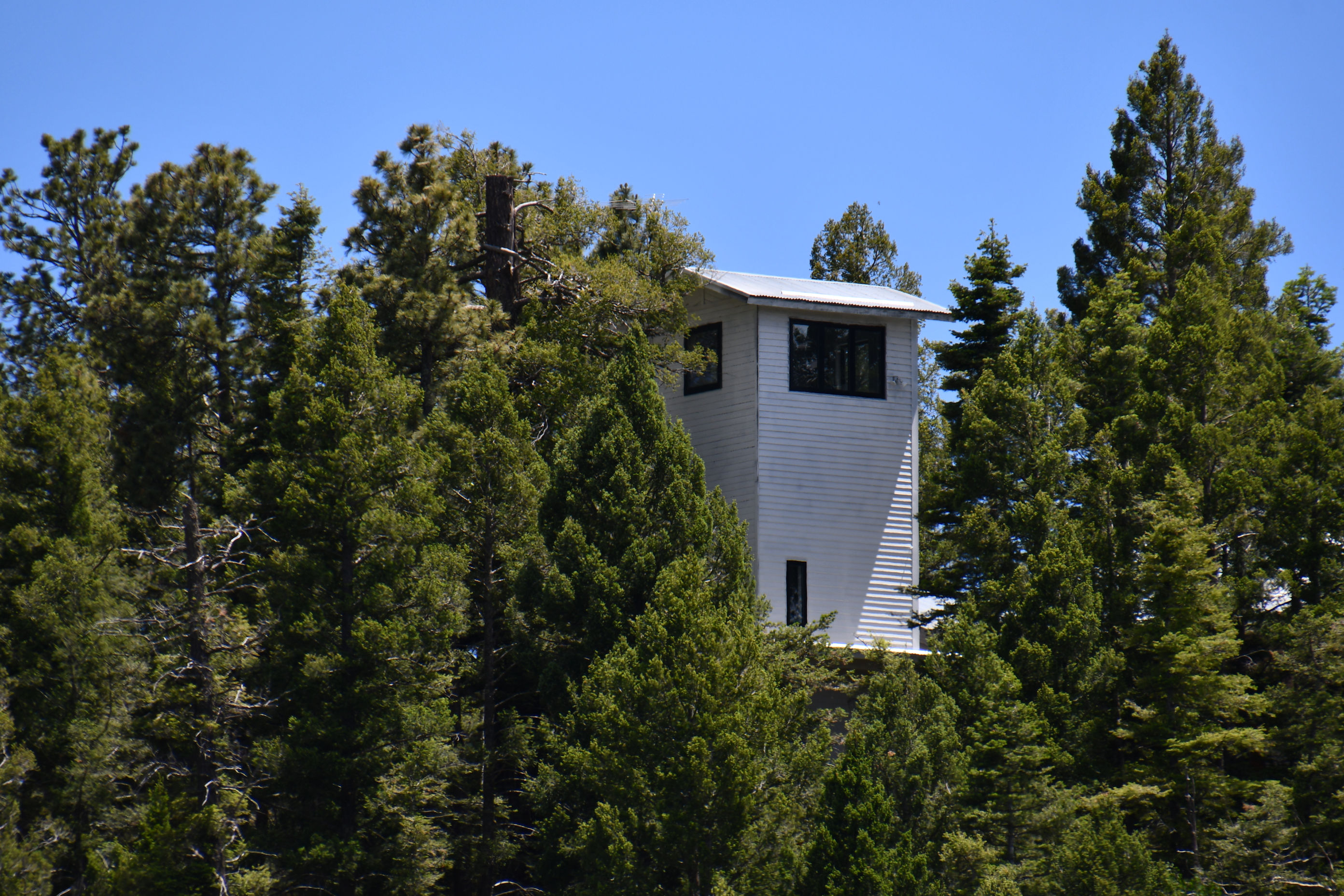
Amazing landscape Crystal. I thought the building in the trees could have been a fire lookout post.
Thanks for taking me along as usual 😀
BEAUTIFUL!!! I don’t know how you do this and take such AMAZING pictures!
Take me, Sally, and Jiggie with you next time!
David
>
Another fine pit stop
I agree with you on how wonderful it is to find good food along one’s travels, Crystal. As a vegetarian it can sometimes leave one with limited options, and as I love good food, I always delight in finding a better than decent meal.