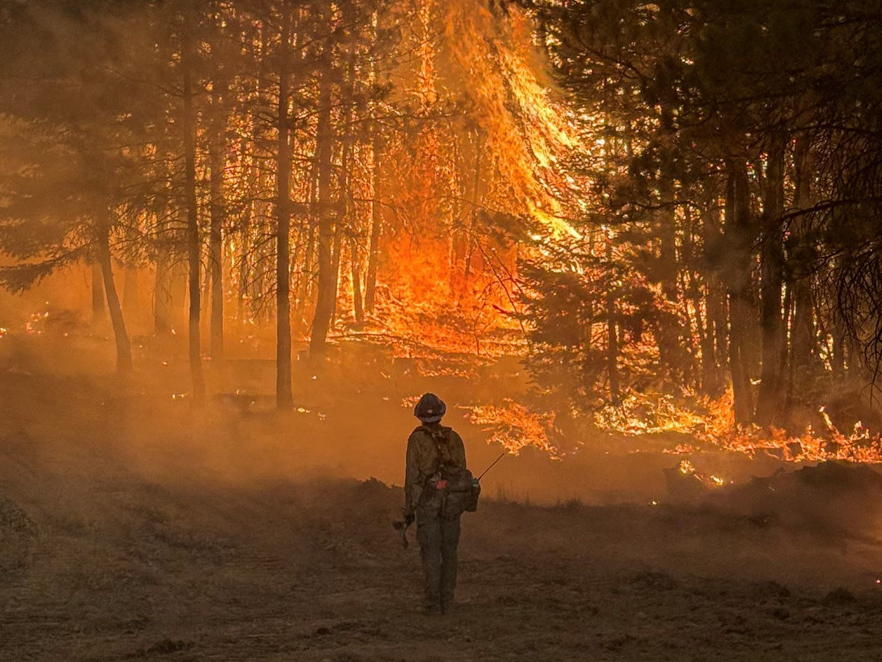
It’s on so many minds today. As it was yesterday. And will be tomorrow.
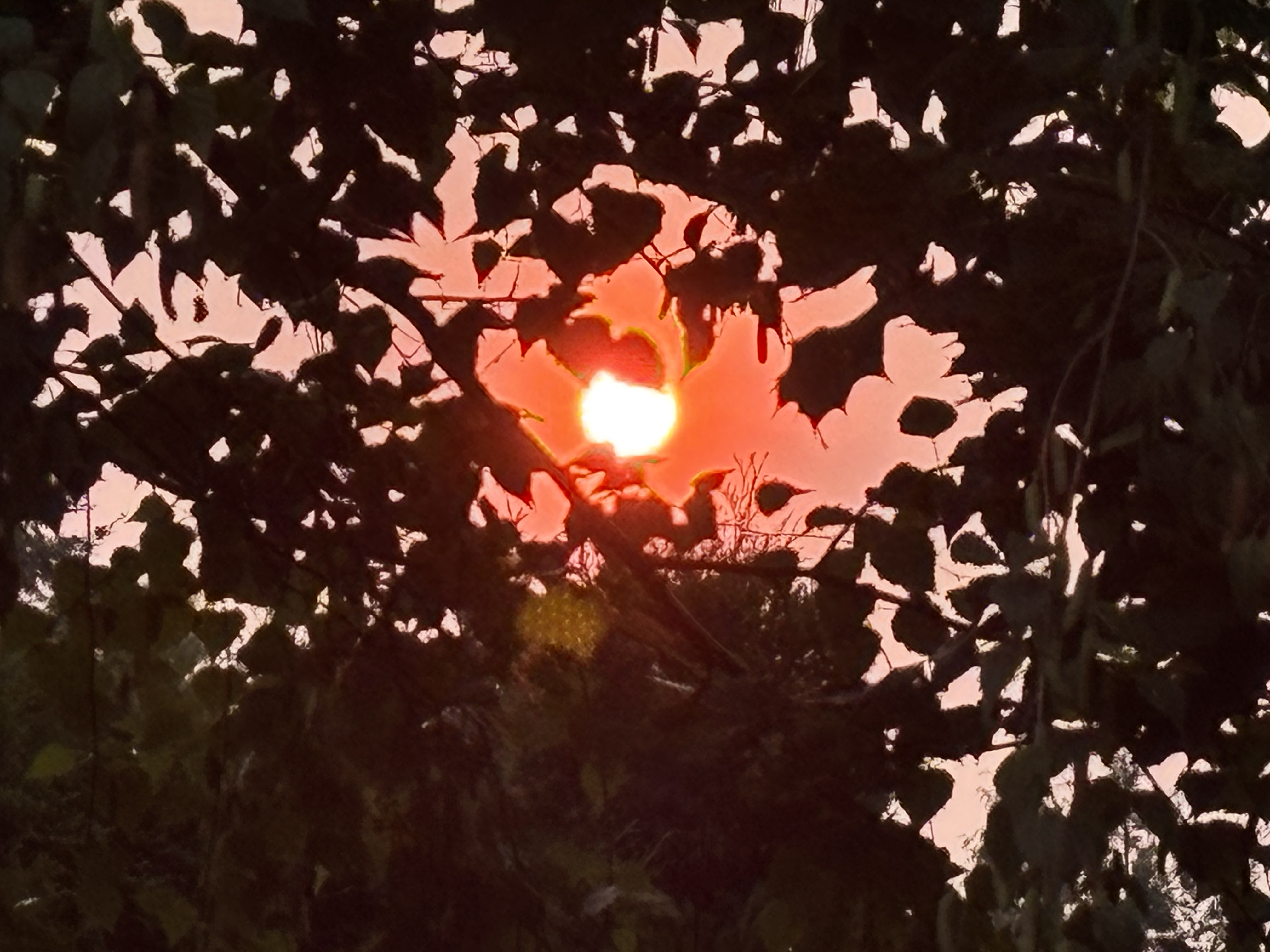
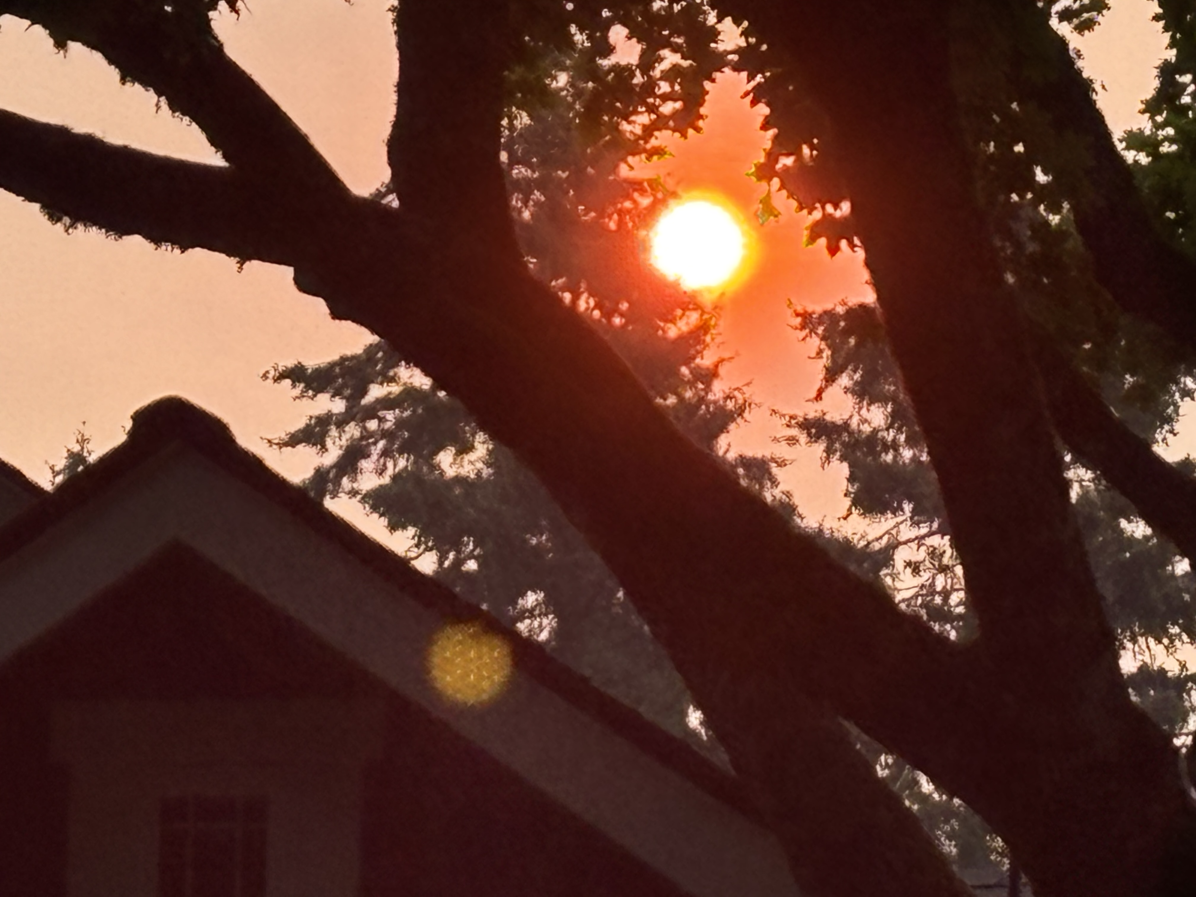
Portland (and the Tigard suburb, where I live) has been spared most of the smoke. Wildfires are raging, very close to us, but the onshore windflow from the sea is taking our Oregon smoke to Washington state, and eastern Oregon and to Idaho state. Most of the population of my state is breathing clean air most of the time.

As you can see from the images, Portland is not always exempt. Sometimes the wind shifts. As much as I hate the smoke, and the smell of campfire in the air, and the orange light, and the difficulty breathing, I think it’s important that the capital city (Salem), and the largest city (Portland), experience this every so often, so we don’t forget. Lawmakers and city leaders need to be reminded that people are fighting for their lives, their livestock, and their homes, while we blissfully breathe and look at blue skies.

Air quality of 0-50 is supposed to be safe to breathe. Values of 51-100 are considered ok for most people, but not for people sensitive to poor air. Values of 101-150 may be fine for people, but sensitive people need to remain indoors. 151-200 is bad for everyone. So far, my area has not reached the 151 level.
My brother lives in Walla Walla, Washington. They have reached 200. I worry for them because it’s been day after day of breathing smoke, and they are raising my tiny nephew, who just turned 2 months old. He is part of the vulnerable group of people.
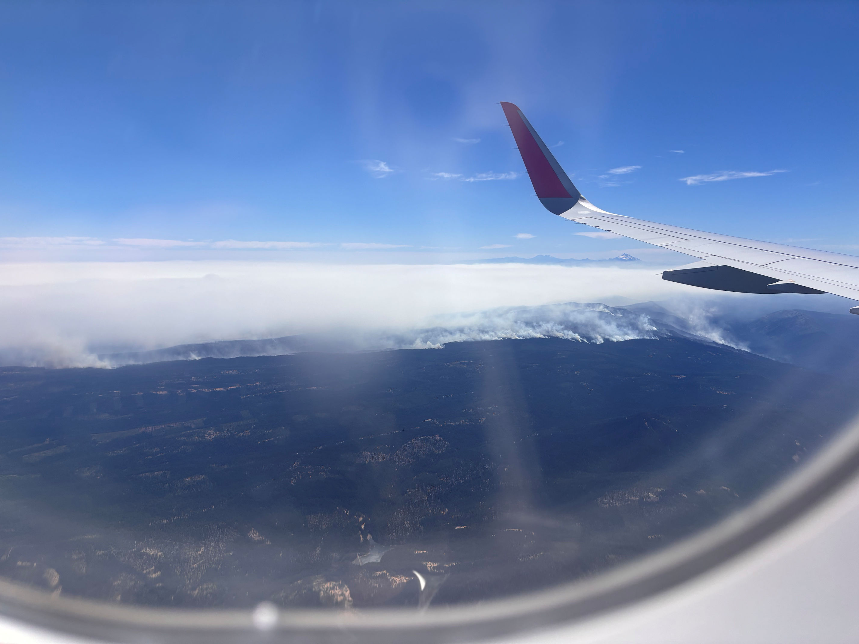
Tuesday, I returned from a trip to Boston to visit friends. The view above is what we saw on approach at Portland. In the image, just below the wing you can see the top of volcano Mt. Jefferson, and the cluster of dark peaks behind it are the Three Sisters. Mt. Hood is out of this view, just to the right.

The woman beside me in the aisle seat looked out the window and said, “It’s so beautiful! The clouds and the sky and the mountains!” I waited, but she didn’t notice. I said, “That’s smoke.” She did a double-take and gasped.
Yeah. That is the appropriate response from us all, watching fires burn the world down. Gasp. And then let’s ask our higher powers to send rain.


I worked on some fire lines in the ’70’s while living in Maine. They put us temp workers, on the secondary line with “Indian” water backpacks, putting out hot spots after the main crew had moved on. Being right there, and seeing the damage is something more people should experience so they understand what’s being lost, and the real cost.
Also being kind of in the “thick of it” where you are is not something most people will appreciate far from it.
I agree, Lou, that more people should have some kind of exposure, and not take it so lightly. Many of our worst fires here in the Western states and in Canada right now were started by humans. Accidentally, by being careless, but also intentionally. People seem to be too protected to understand how important it is to be vigilant. Thank you for the work you did in Maine. I have so much respect for the brave people who assist with fire suppression and fire fighting.
You are so correct that they fail to take basic fire safety precautions. I prefer to think it’s a sense of privilege; they are special, and the rules don’t apply to them.
Fire is a horrible experience. Hope the smoke won’t affect you too much Crystal. Wear a mask when you have to go outside at least
You know better than most, Brian. You and my friend Margaret have had your own homes threatened by wildfire. I cannot imagine what it would be like, but horrible seems like the right adjective. And frightening.
Yes, I would’ve done a double-take too….but you can clearly see the line of fires if you look closely. So sad. I hope all the firefighters stay safe. I’m grateful for their hard work!
Right! I did too! I looked and smiled and then looked again and saw the line of fires. It’s shocking to see it like that. The man in the window seat and I could not stop watching. As we flew, on and on, the line of fires continued. It was kind of heartbreaking to see how big the area is that is burning. I join you in worrying about the fire fighters. Their work is so important and so dangerous.
You know where to waft reminders
I came home to blue skies and blissful people in the sunshine, after what I had just seen from the air. It felt like a reminder was a good idea.
Tell me about it Crystal! When I backpacked down the PCT, I met fire after fire with smoke everywhere. I still have congested lungs.
I was so worried about you on that trip. You had planned for ages, and then you faced so much fire and smoke. It was a dreadful disappointment. I did not realize your lungs are still suffering from it all. I am sorry to hear that.
No regrets, Crystal. Even with the fires, it was beautiful and I also had smoke free weeks. As for health, I think my overall health benefitted from it. And my mind, definitely!
Yes / please God send rain and help everyone during the fire and smoke time
I feel so helpless sometimes when we are reduced to wishing for rain.
I know – and so many areas are very very dry right now.
Amen to that. I worry for my nephew on the PCT as he should be entering OR any day. With luck, the word in September will be containment!
Best of luck to your nephew, in staying out of the fires but also staying out of the smoke. There is no good in breathing that stuff. I hope: no more fires, and cool weather, and moisture, and containment!
The western hemisphere is burning up. ‘don’t know about the rest of the world, but France and Europe are burning too… How many disasters will it take to change our ways?
Yes, please God send rain and lots of it