In Winter, Marlene is uneasy about me taking Highway 60 out of Show Low, because it is a narrow, winding road with few communities or services, in case I had an emergency. I visited my friend during a period of dry, sunny days. I was fully prepared to abandon this majestic bit of scenery if the weather was sketchy. Since the weather was excellent last week, we were both comfortable with a winding canyon road.
About the time one thinks, “I want to pull over and get a look at that,” viewpoints begin to appear at the side of the road. I missed the first couple, because I talked myself into staying on the road to make good time. By the third pull out, I was powerless to resist.
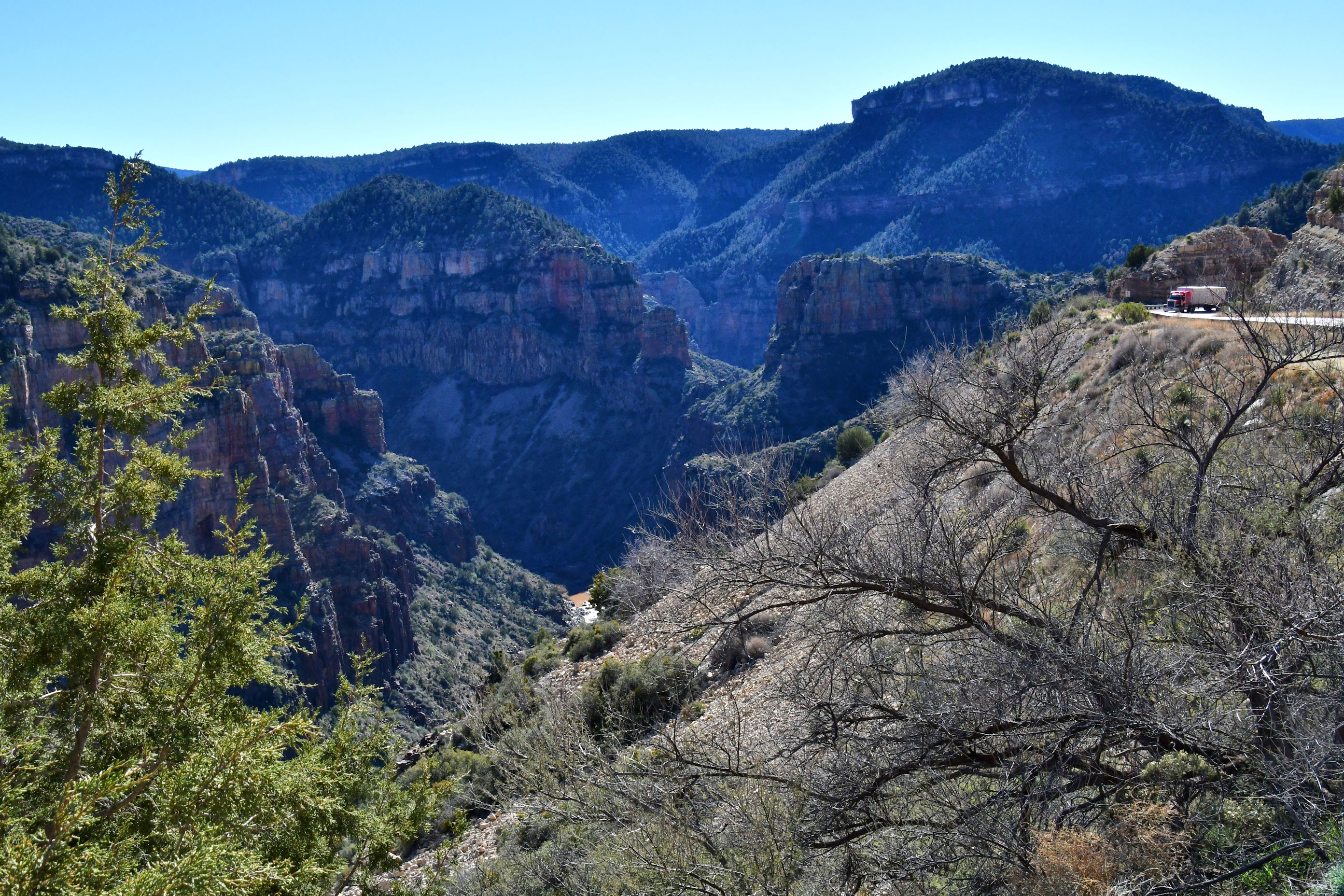
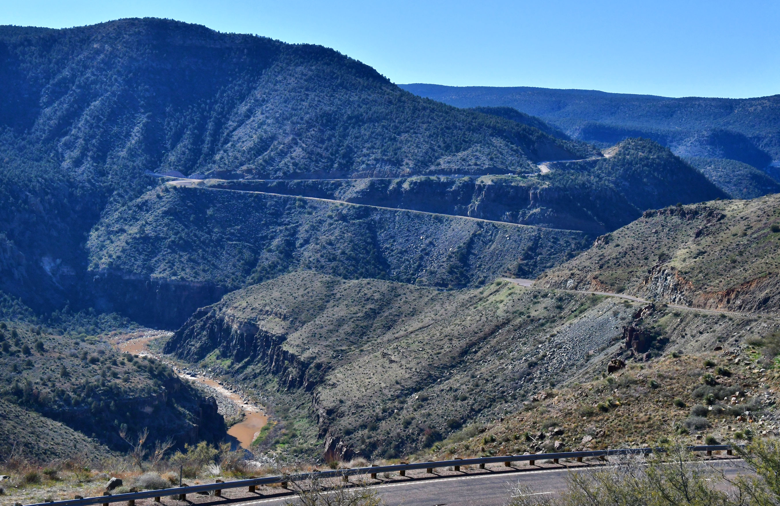
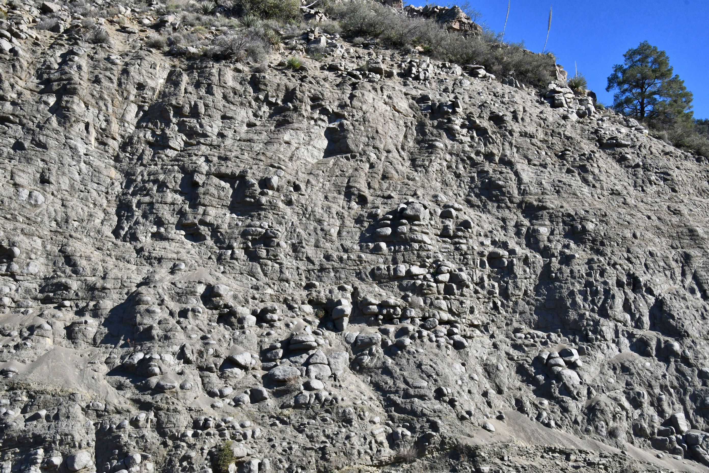
I was delighted to notice somehow, a small dirt road entering the highway. From the highway above I could look down onto it, but as I got closer, it was obscured from view. I decided that if the road was not gated, I would take the rental car up there. There were no signs, no name, no markings, just a subtle dirt road track, and I followed it! Only a short way up a hill, the road opened onto a wide open flat space with lots of room to park and run around and take photos in all directions. I got some great shots looking down onto the highway, and the curvy, snaking road adds character to the images.
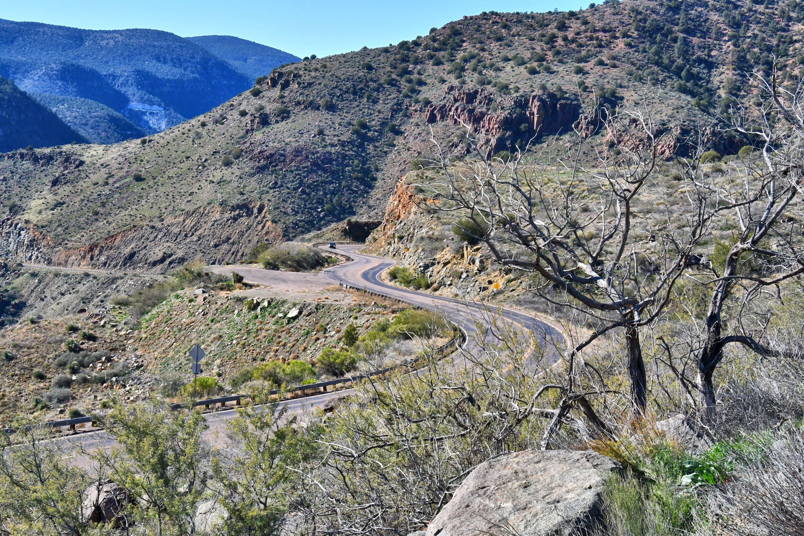
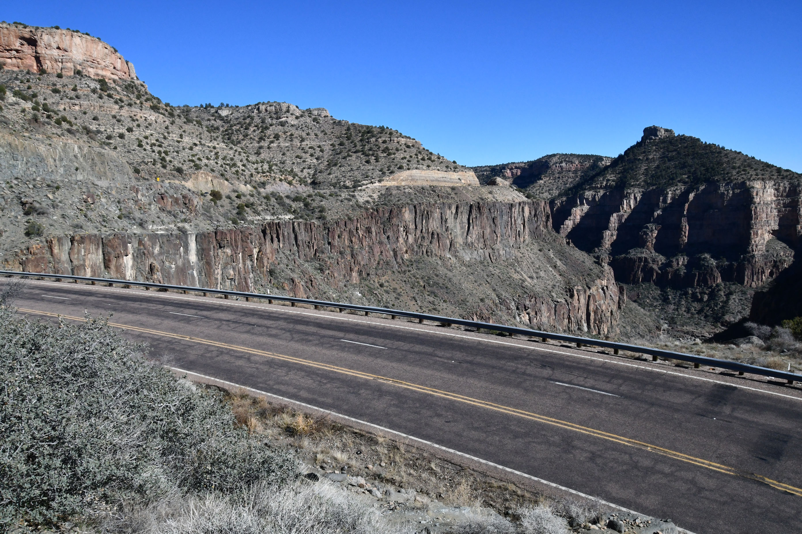
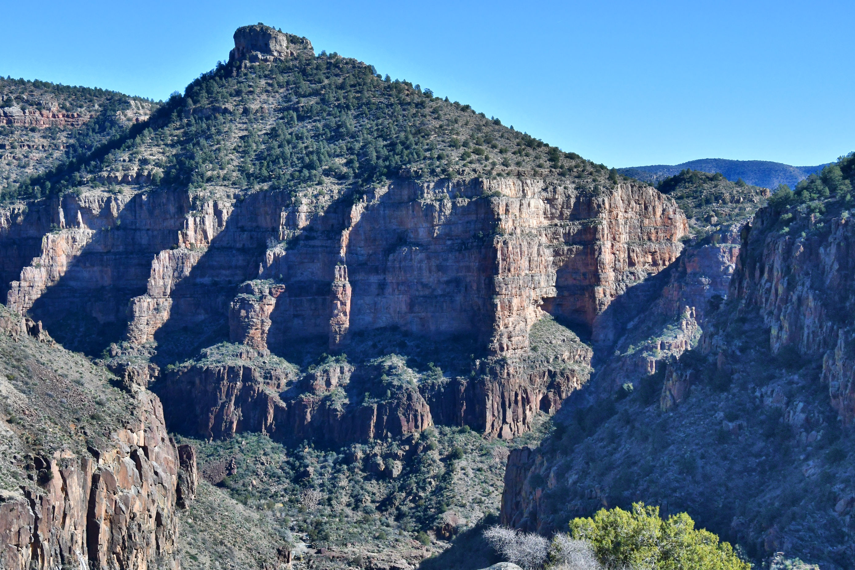
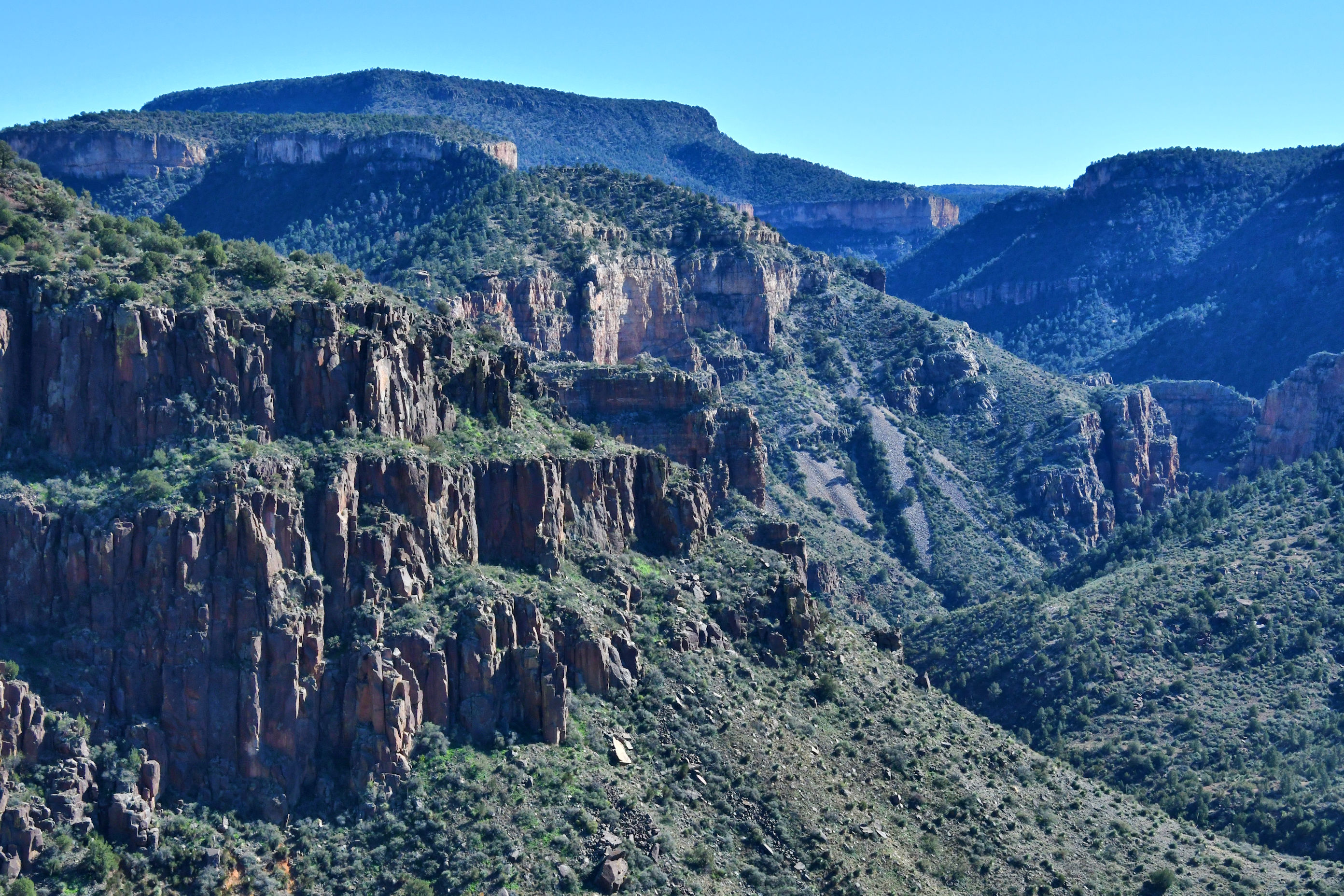
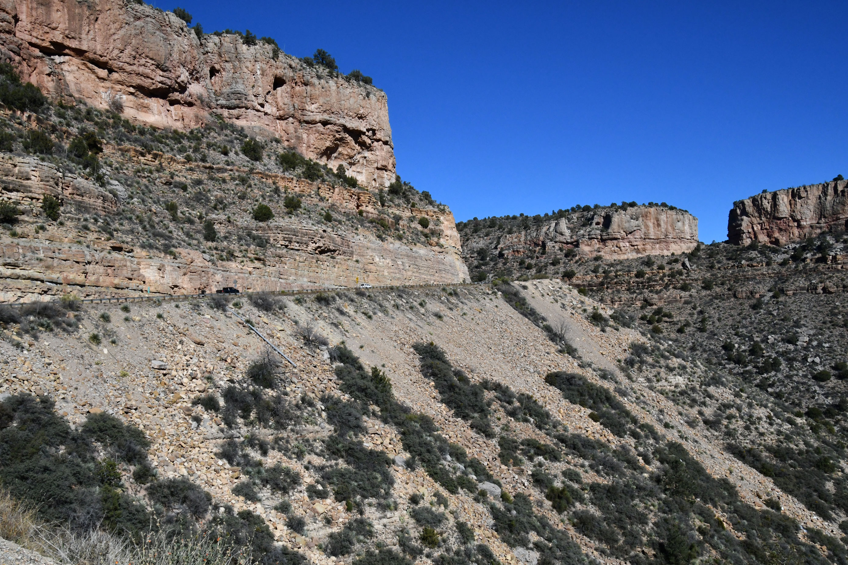
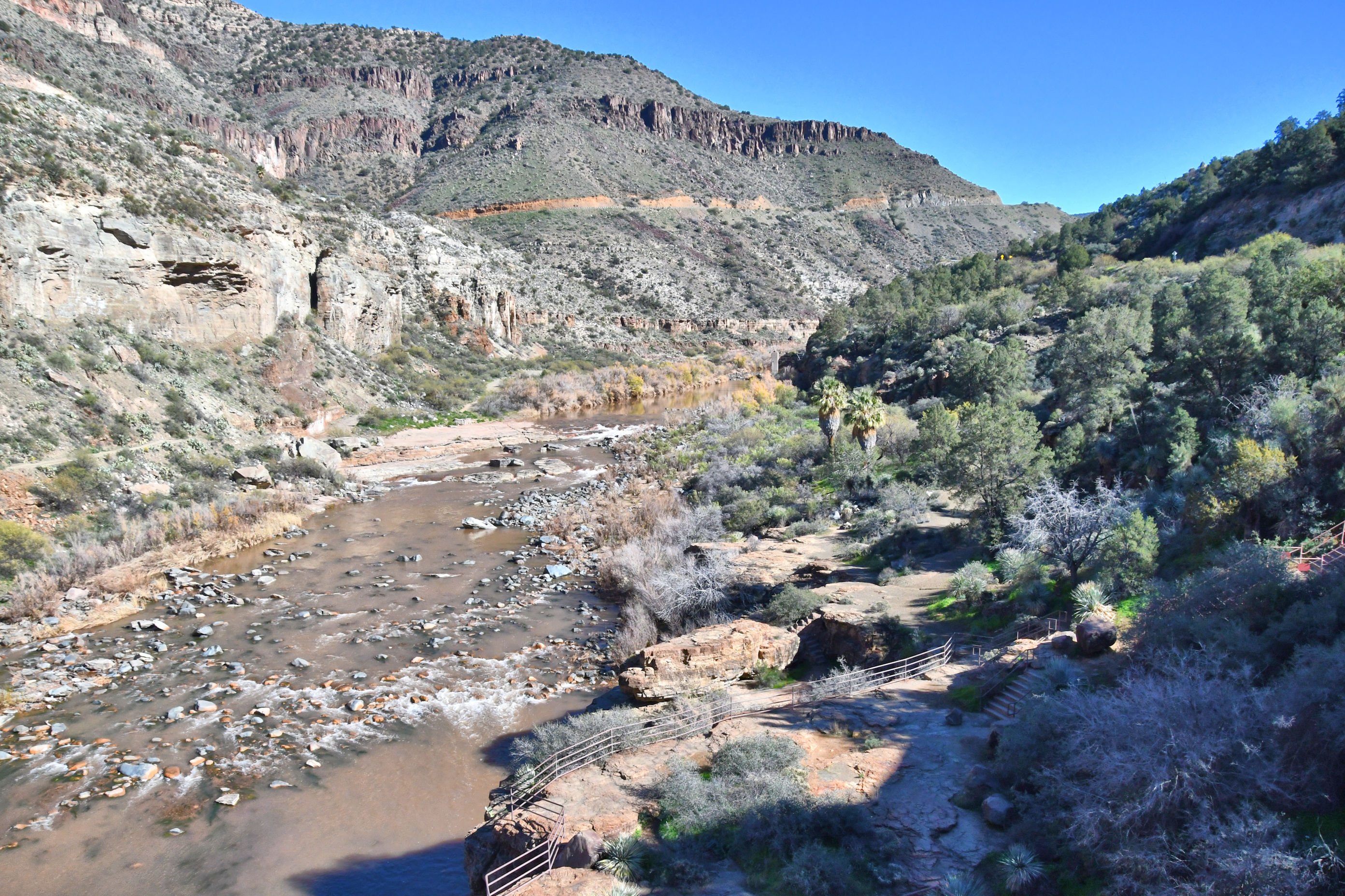
Switchbacks down, down, down. I cannot be the only one who was a road hazard – gawking out the window – but I confess I was one. To protect my fellow motorists, I slowed down dramatically. The canyon is shaped by the Upper Salt River, and apparently some people call it “Arizona’s OTHER Grand Canyon,” and you can see why they would.
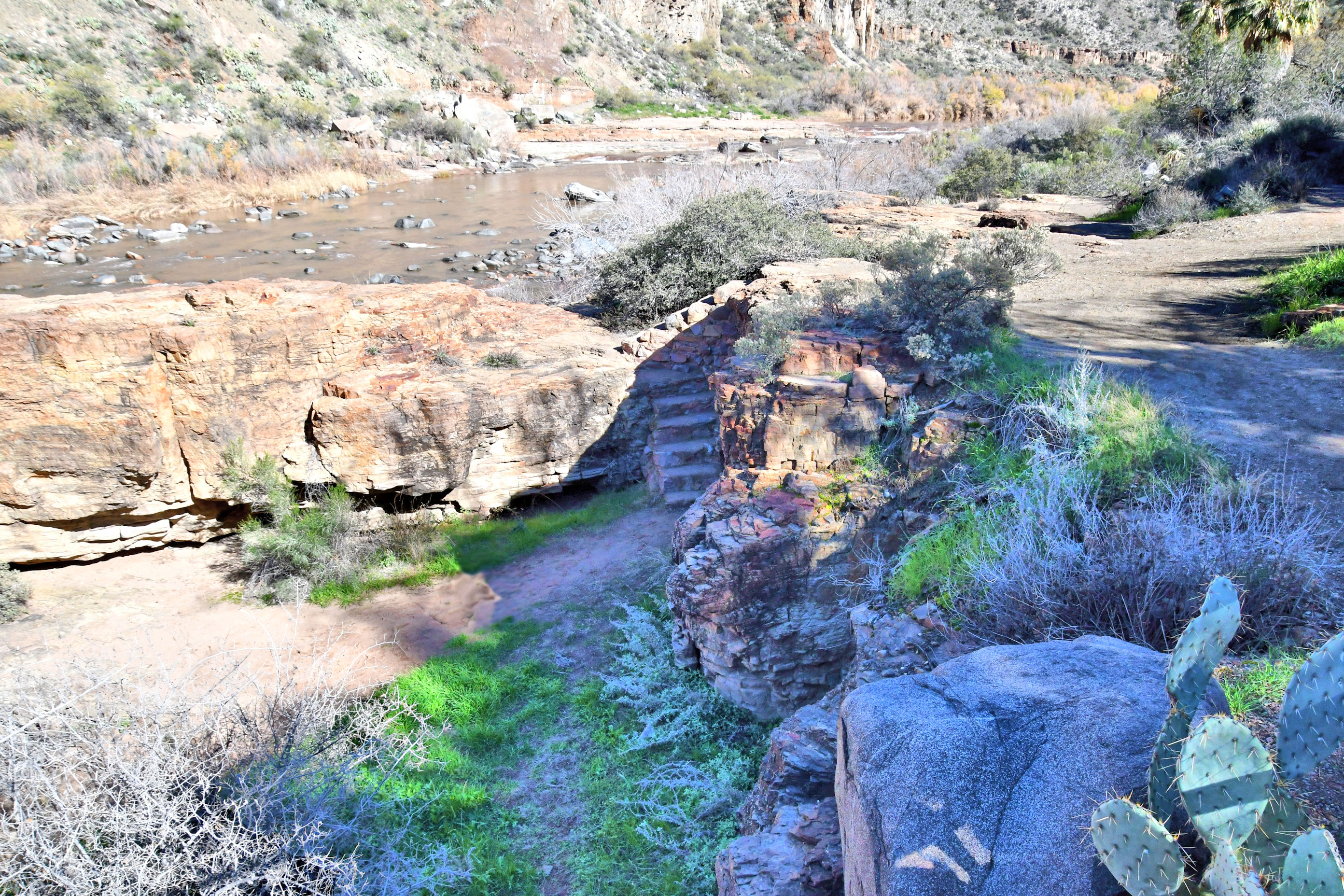
At the very bottom is more infrastructure. The Upper Salt River forms the border between the Fort Apache and the San Carlos Indian Reservations. The Natives have accommodated the large numbers of travelers who, like me, are unable to resist the pull of their gorgeous home, and want to stop and gaze. The facilities are simple and practical, meeting traveler needs in a remote desert location.
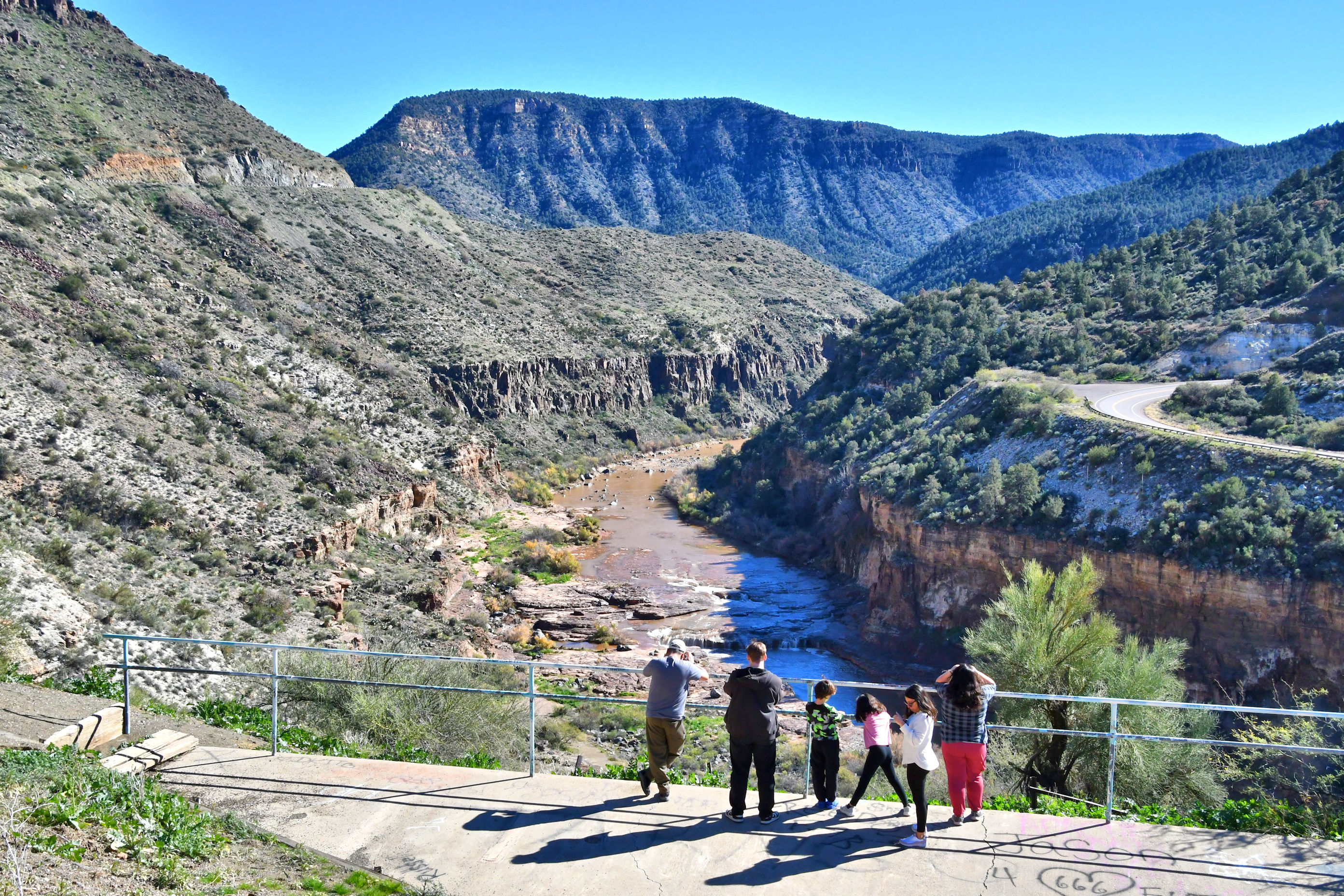
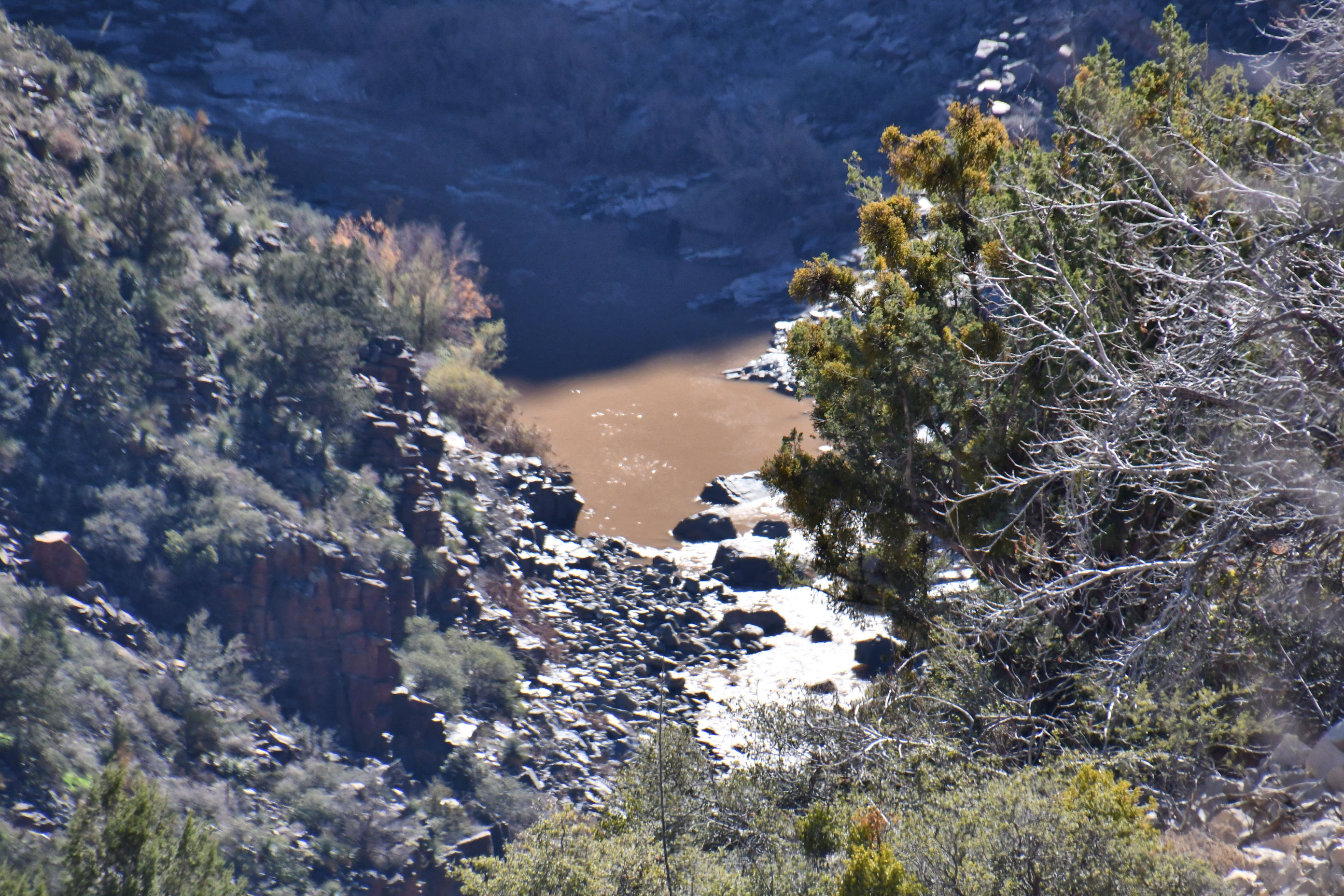
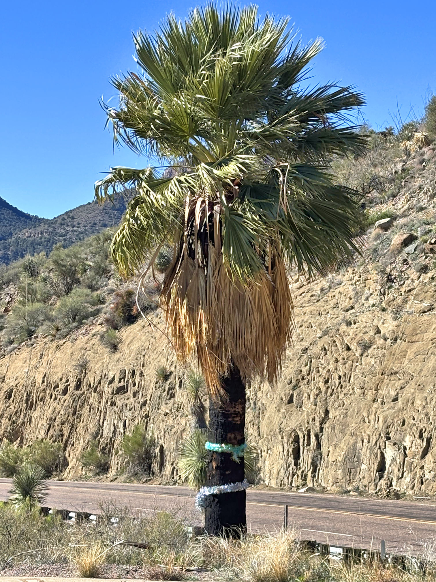
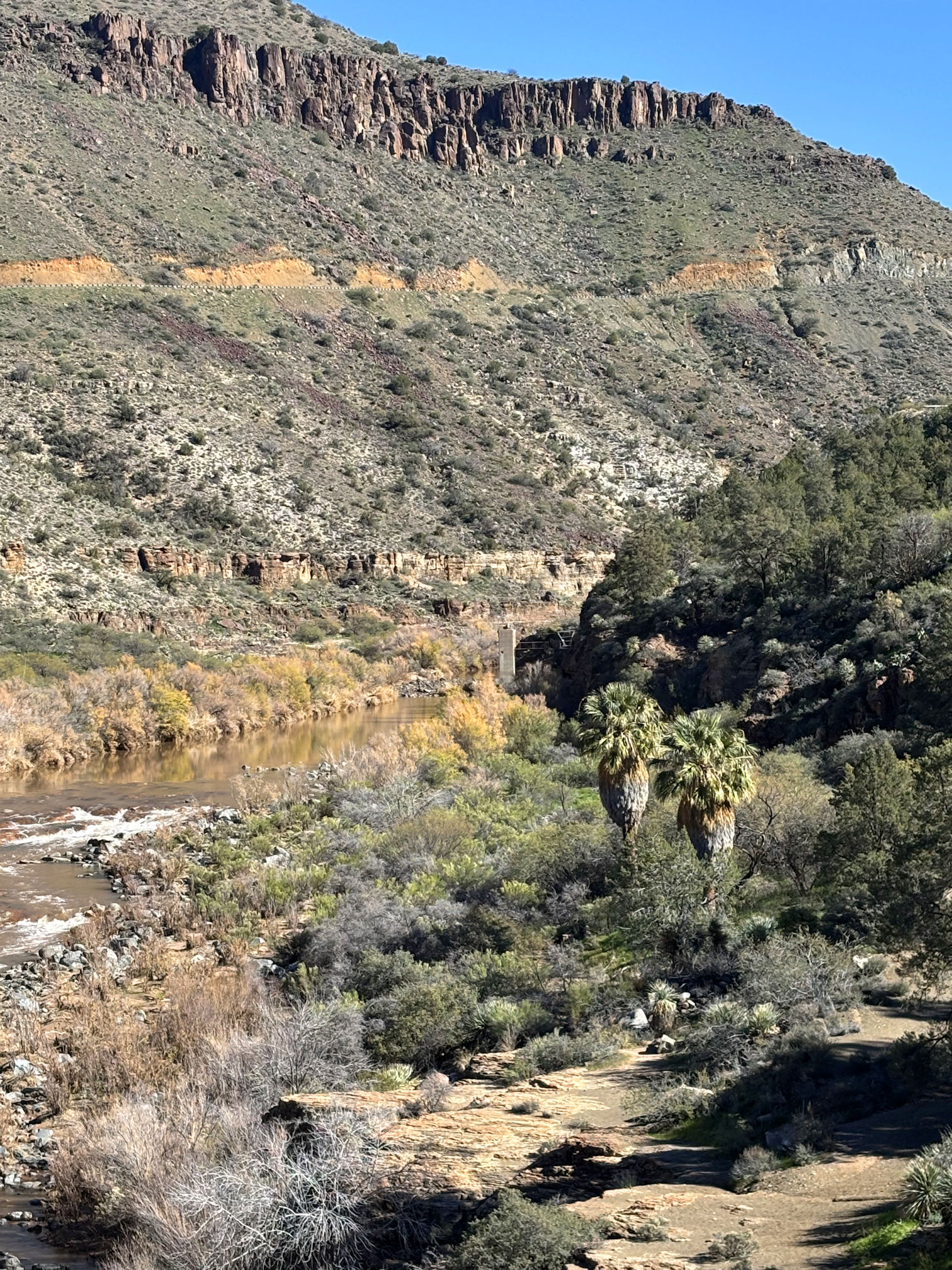
Arizona is famous for its desert scenery, and I find delight in discovering places with water. This is a robust river, and especially so last week in the days following snowfall. The extra water caused turbulence, making it deeper and browner than it would have been in a drier situation.
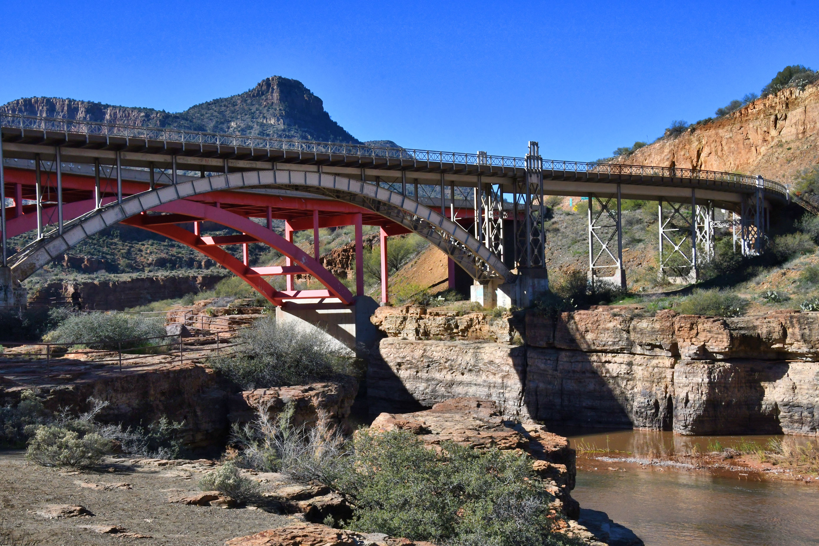
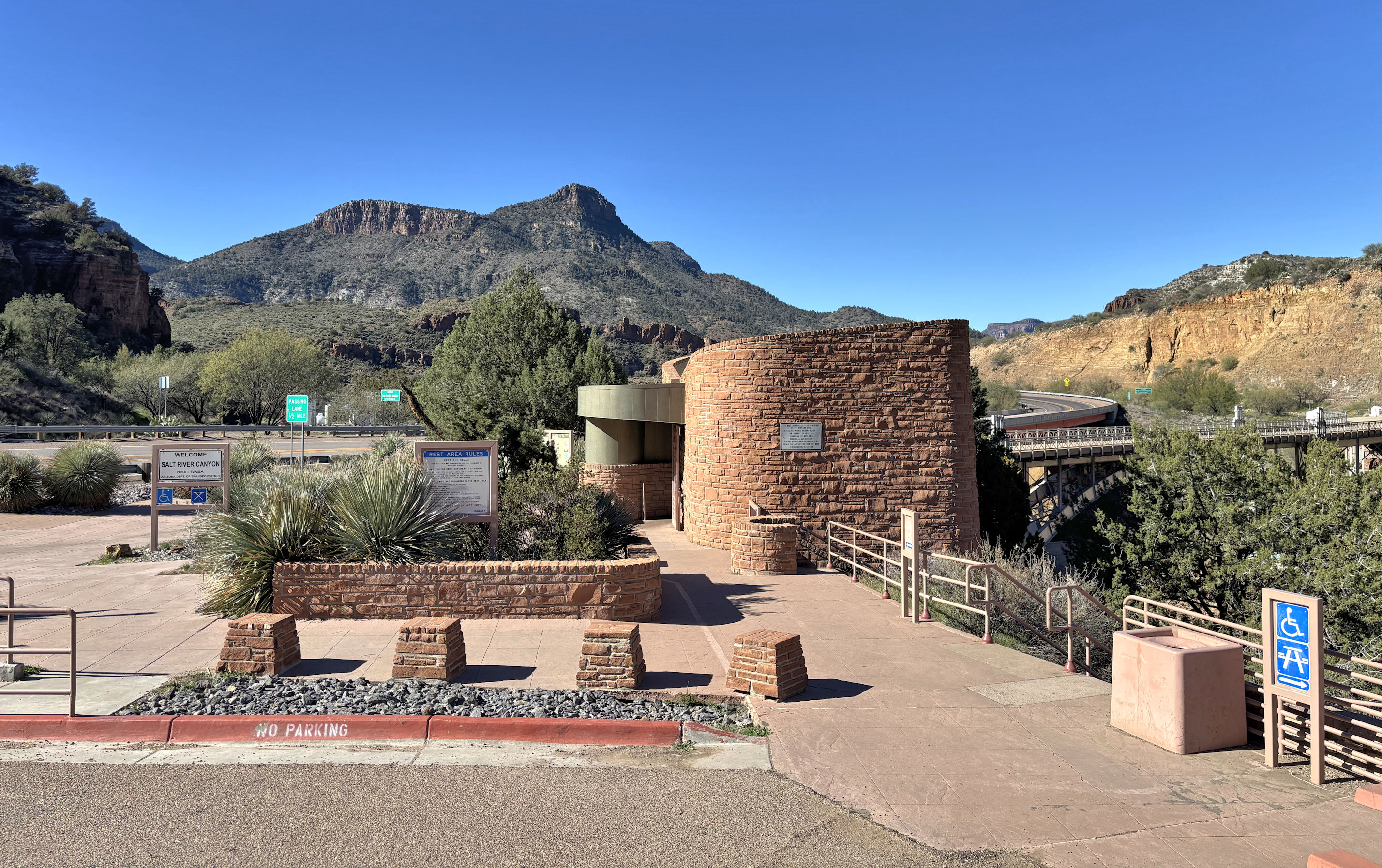
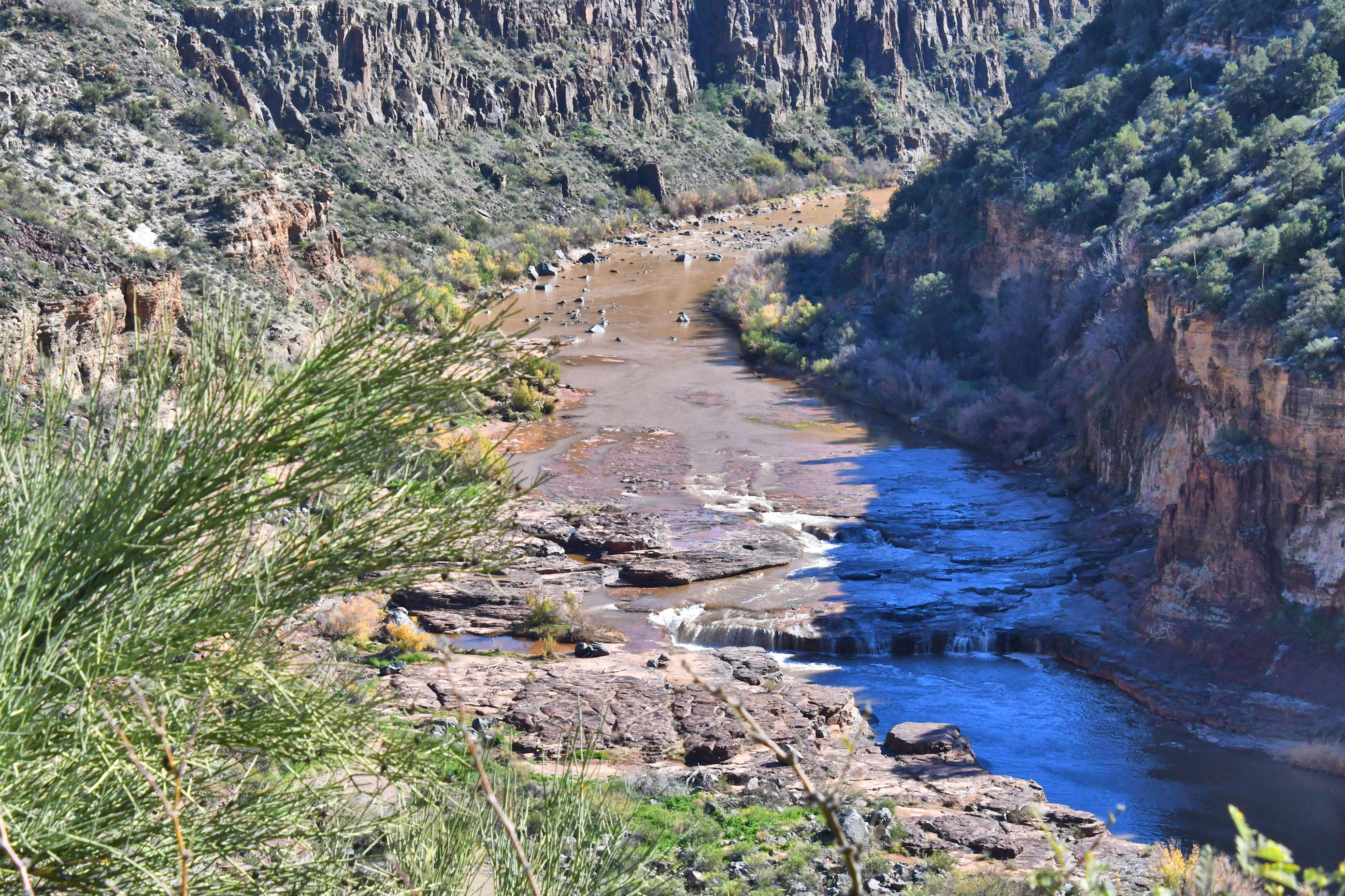
At the rest area, one can access a few short trails that will lead down to the water. First, I walked out across the old bridge, to get a close look at the water. Note in the photo above that there are two bridges. In the foreground, an old highway bridge that is now used for foot traffic. Behind it is the current highway bridge, painted red.
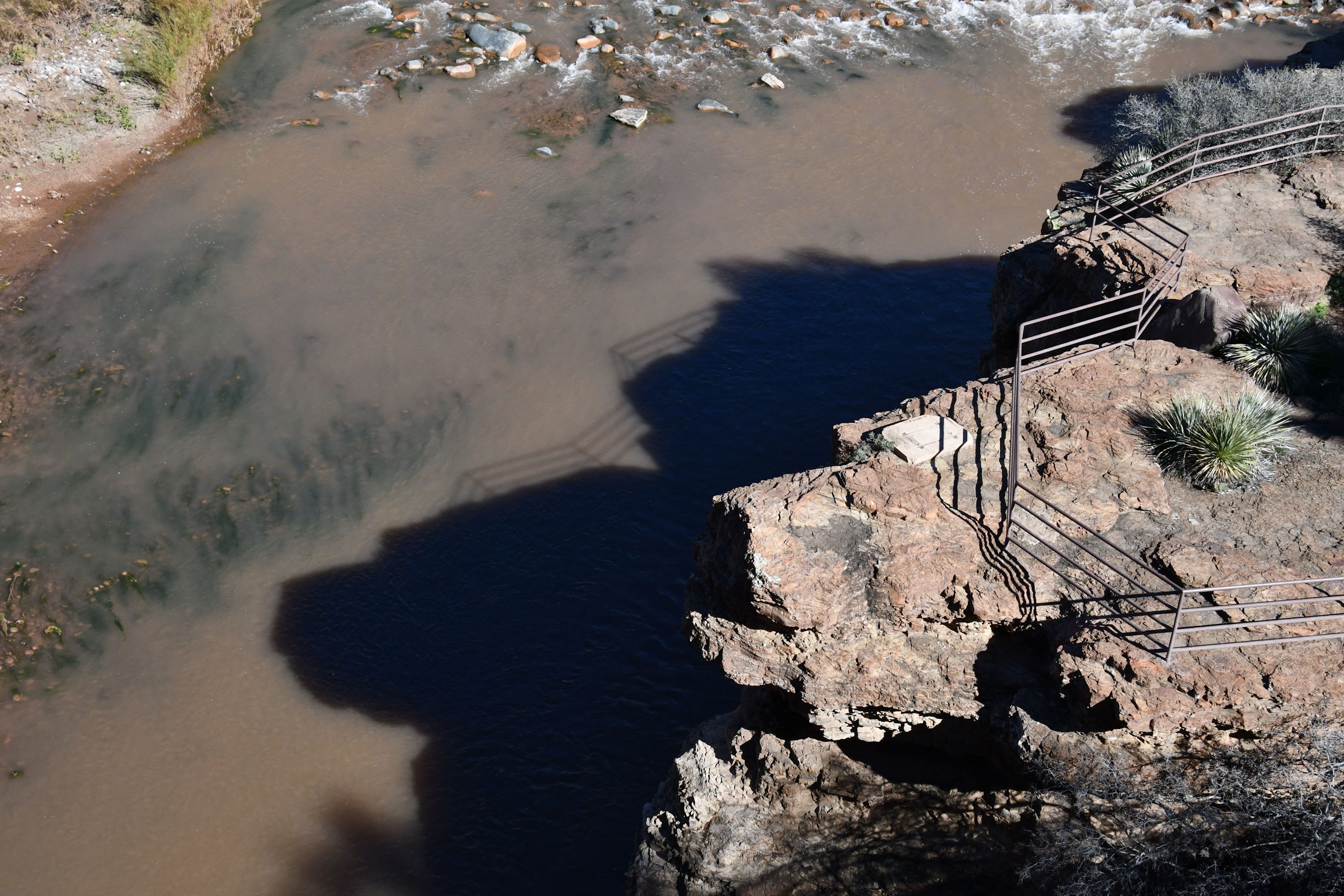
I blame Curt Mekemson and his wife Peggy for the shot above. His blog frequently contains photos of rocks and stumps and trees in which they see faces. I have now adopted this form of amusement, and see things that might not really be there. In the photo above, I see the profile of a dog in shadow, and above it the profile of a pig. Probably a lady pig, judging by her lovely long lashes.
I then walked the short trail from the parking area, and made a small loop down to those fences you see in the dog and pig photo.
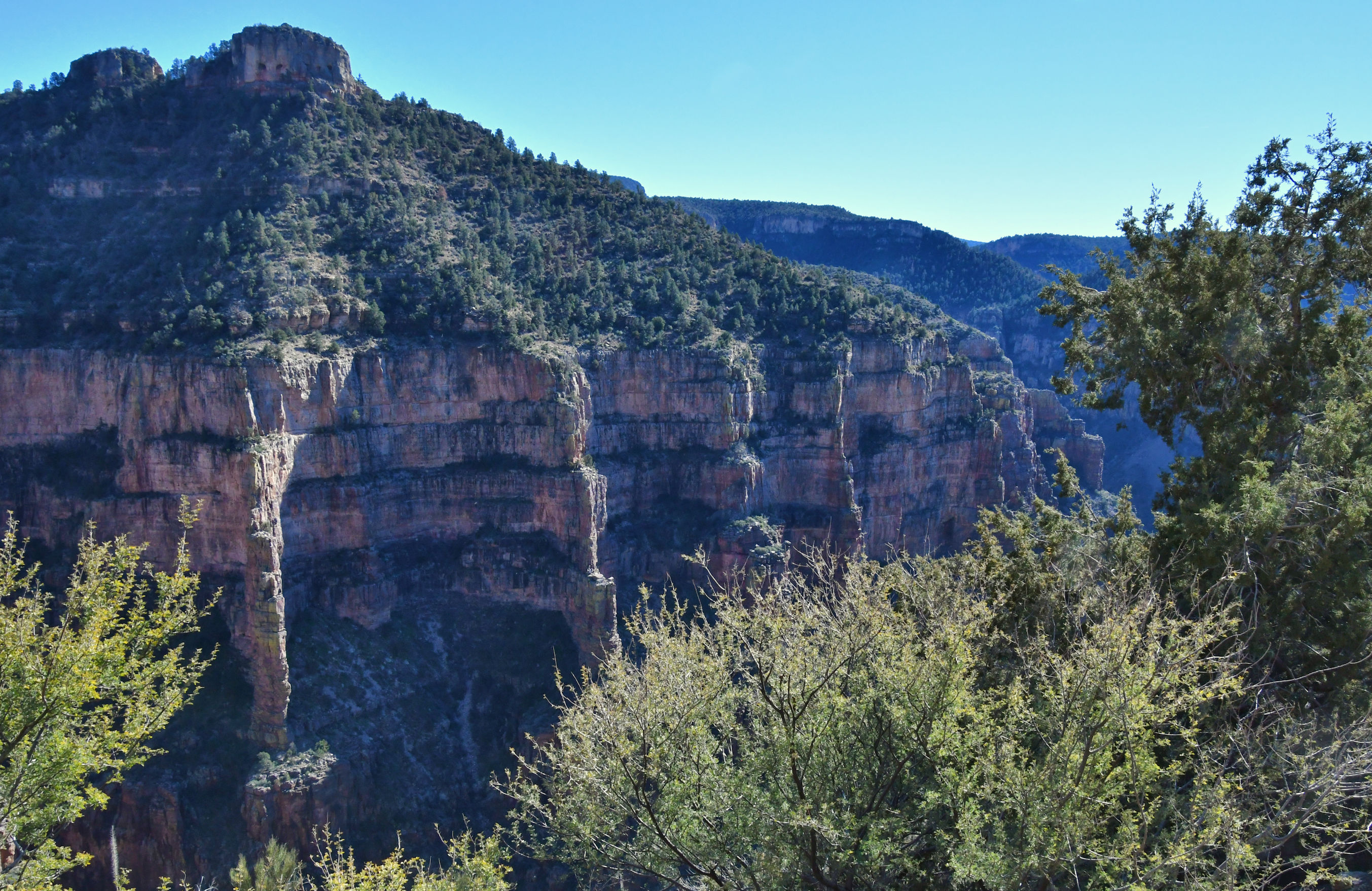
I hopped into the car and began the long, winding climb back out of the canyon. There were the usual vendors on the San Carlos Reservation side, who sell handmade jewelry and fresh fry bread, but I was not interested in either so I kept going. I did spot a wide pull out, and parked there. Though I could not see behind me, I hoped the view would be worth the shot. It definitely was.
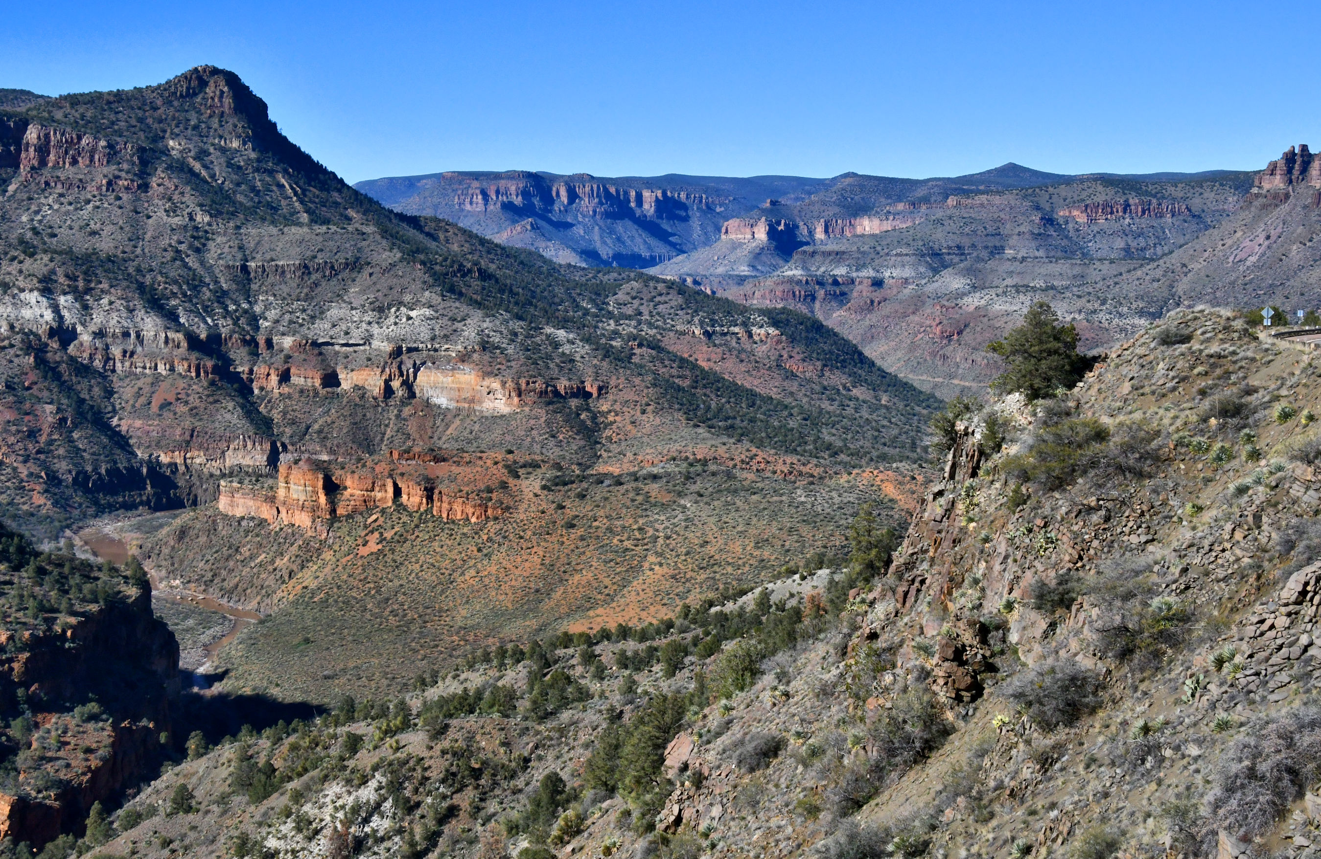
Maybe when I come back in my next life, I’ll be a geologist. This stuff is simply too amazing for me to drive past.

I also see a grumpy old man in the rocks below the pig shape 😂
Yay! Now that you mention it, I see a small old man shadow above the pig too! Thank you for the excuse to look again. 🙂
👍🏼😁
I am surprised you ever finish that trip
Rather than end up in the river? ha ha. If I had endless sunlight and gas in the tank, I might just wander off into the desert, taking photos till the end of time. That would be a good life spent, I think. But I suppose at some point I would yearn for Pedro and Kellen, so I would have to come back to reality.
We rafted the Salt River between Hwy 60 and Hwy 288 in 2024. It’s a trip you can only do a few weeks a year when the river is flowing well (which it sometimes isn’t). There’s some amazing scenery down in the Salt’s canyon. https://vanmarmot.org/2024/03/20/rafting-the-salt-river-1-mar-2024/
Oh! My! Gosh! Linda and Bruce, that looks simply amazing. THANKYOU so much for sending that link. I didn’t even know about the Salt Wall, and that canyon is simply outstanding from the water level. That is really, really cool and now I feel like I must make a rafting trip happen with me and Pedro. Thank you for the super cool idea, and the head’s up that a lot of planning needs to happen in order to find a seat in a narrow time window. 🙂
Fun post! I see the dog and pig and now I want to discover images in everyday shadows too! :o) Way to take your time and enjoy every turn of your journey. You’re awesome!
Do you follow Curt at Wandering Through Time and Place? He presents photos often, of places where he and his wife spot faces or creatures in natural things. It’s a lot of fun and can be so whimsical. I hope this turns into a smile for you in some future adventure.