
For Mother’s Day last month, Tara and I camped at South Beach State Park near Newport, Oregon. Rains fell in the night, and we woke up to more rain. Tara had a great idea and was undaunted. We would brew some coffee and fill travel mugs for warmth and energy, we would gather our to-go boxes with leftover supper from the night before, and we would go find a stone shelter on a trail somewhere that Tara recalled.
They weren’t exactly sure where it was, but we had all day and as long as we were driving around the Oregon Coast in the Jeep, we were warm and dry. Eventually, I turned onto a road at Cape Perpetua and Tara recognized it. “Yes! This is it!” We wound up, up, up to the top and found a parking area, and restrooms which are a necessity when you’ve been traveling with mugs of coffee. Then we put our things into a bag and went in search of the trailhead.


We were getting increasingly wet, but the hike was short and the rewards were great.


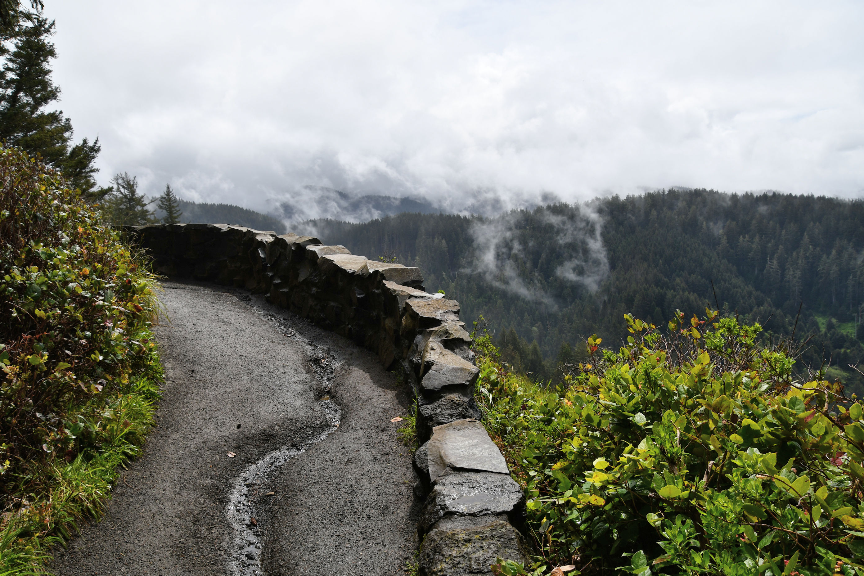
It turns out the trails all around Cape Perpetua were built by the Civilian Conservation Corps (CCC), and this shelter was built by them too. The CCC was part of President Franklin D. Roosevelt’s New Deal and it operated from 1933 to 1942 in the United States. It was a voluntary work program for unemployed, unmarried men ages 17–28. Providing a lifeline to young men, the work gave them purpose, experience, camaraderie, a paycheck and very importantly, something to do. Naturally, American Republicans hate the New Deal vehemently, insisting that the only way a man should ever be proud of his accomplishments is if he does it without any government intervention. But since I was a kid I always thought this was a great idea: the government invents a whole bunch of jobs and puts a whole bunch of people to work. Nobody got rich, but they could afford to eat and buy clothes, and trails are not on par with rocket science, but generations will benefit from the labor of those men.
Anyway, it’s called The West Shelter, and was built during the winter of 1934-35 and is now on the National Registry of Historic Places. The CCC also built the reinforced parapet, and the walls you see. They developed the parking area and trails directly below us, at a place called Devil’s Churn, and they also reinforced the road that climbs up here.
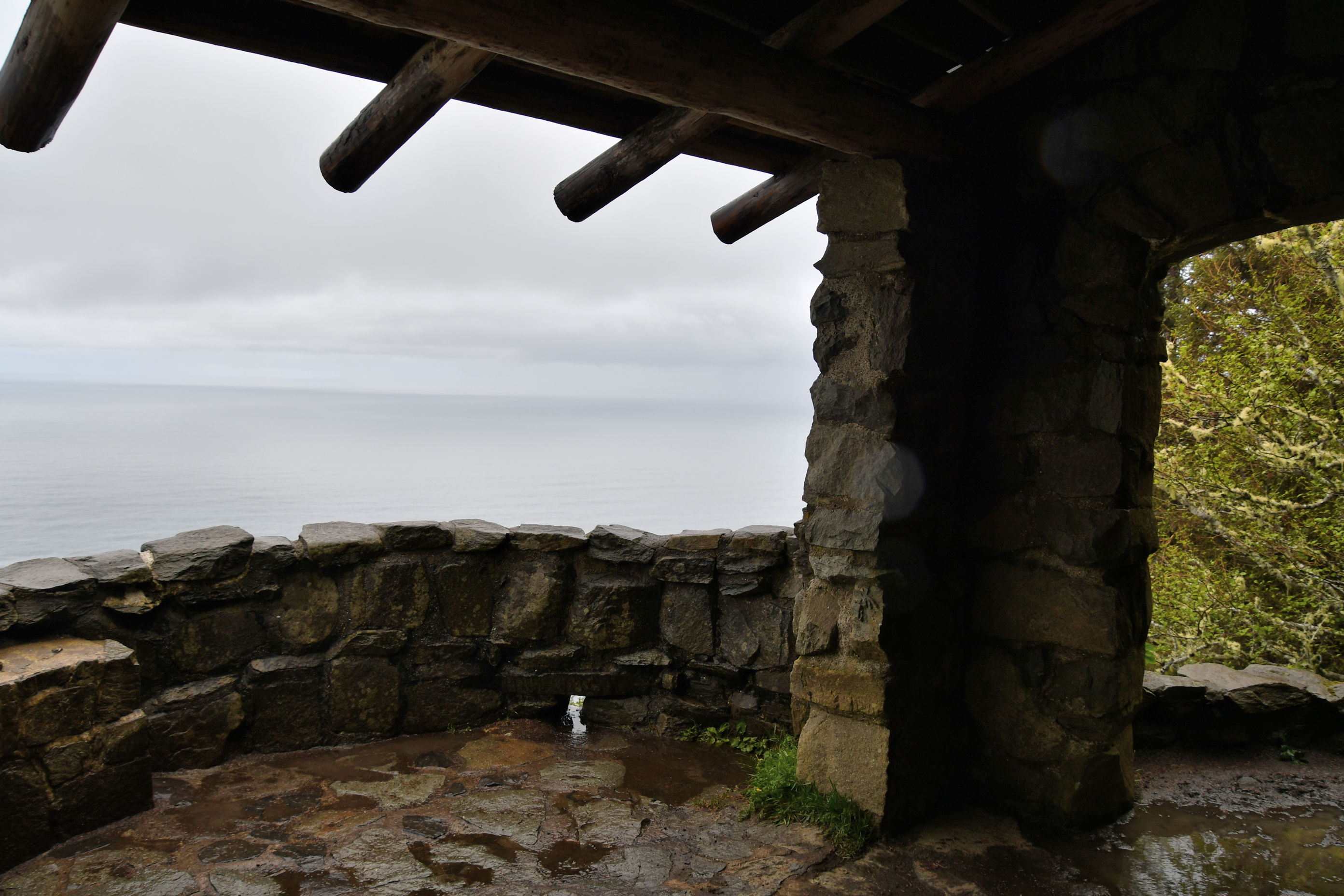
We sat and looked out over the ocean and talked. By the time we had finished our meal, the sun was teasing us and yes, sometimes sunbeams stayed long enough to tempt me to jump up with my camera. Though I didn’t find out the real reason, I wouldn’t be surprised if the reason this shelter was built was for the exact reason we used it: a shelter from the rain when it was time to eat. It was built during the winter, right? Those kids must have been sick of working day after day in the rain.

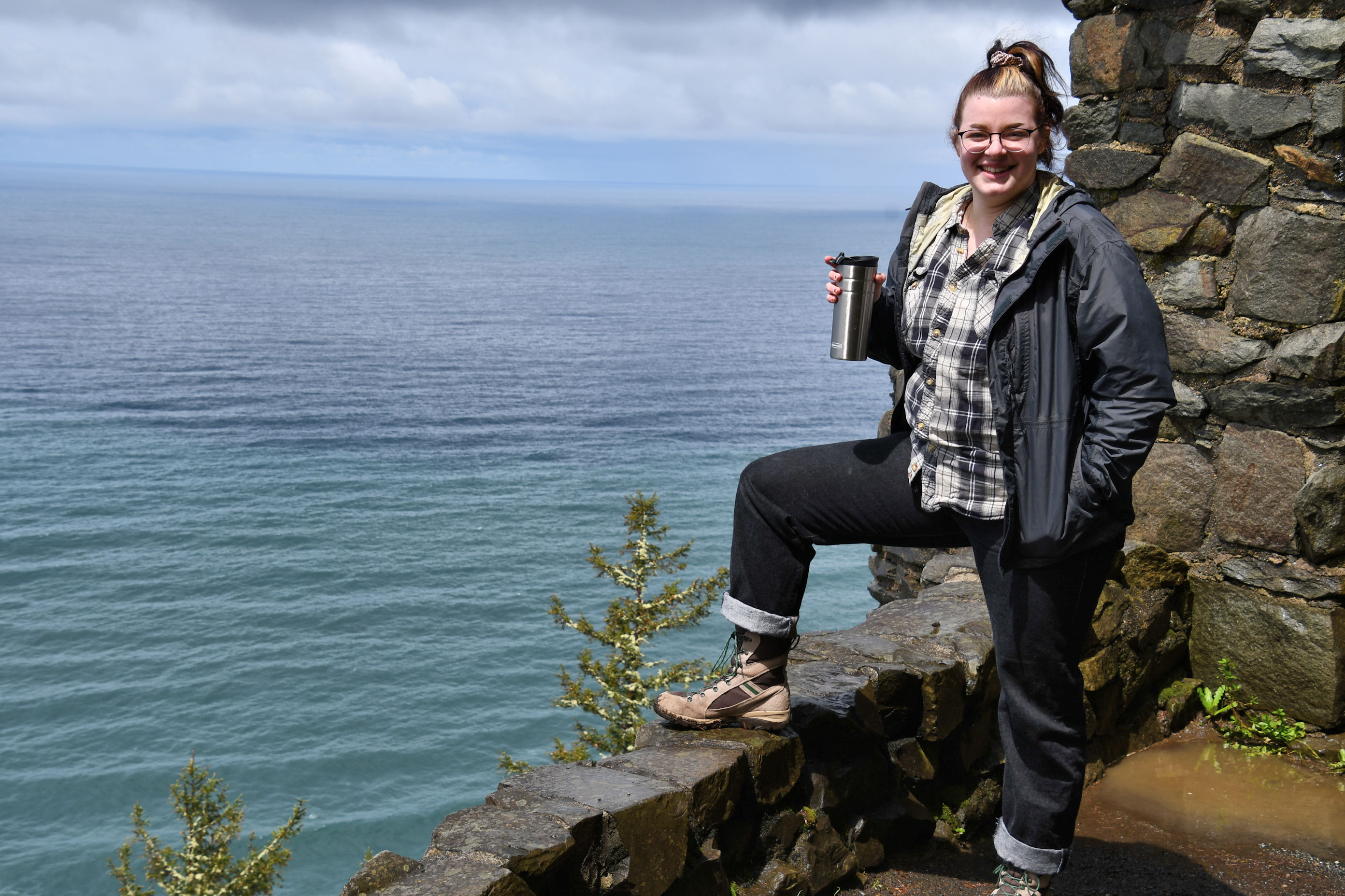
From our perch, now that the rain had stopped, Tara took me to the edge and gave me a geology lesson.

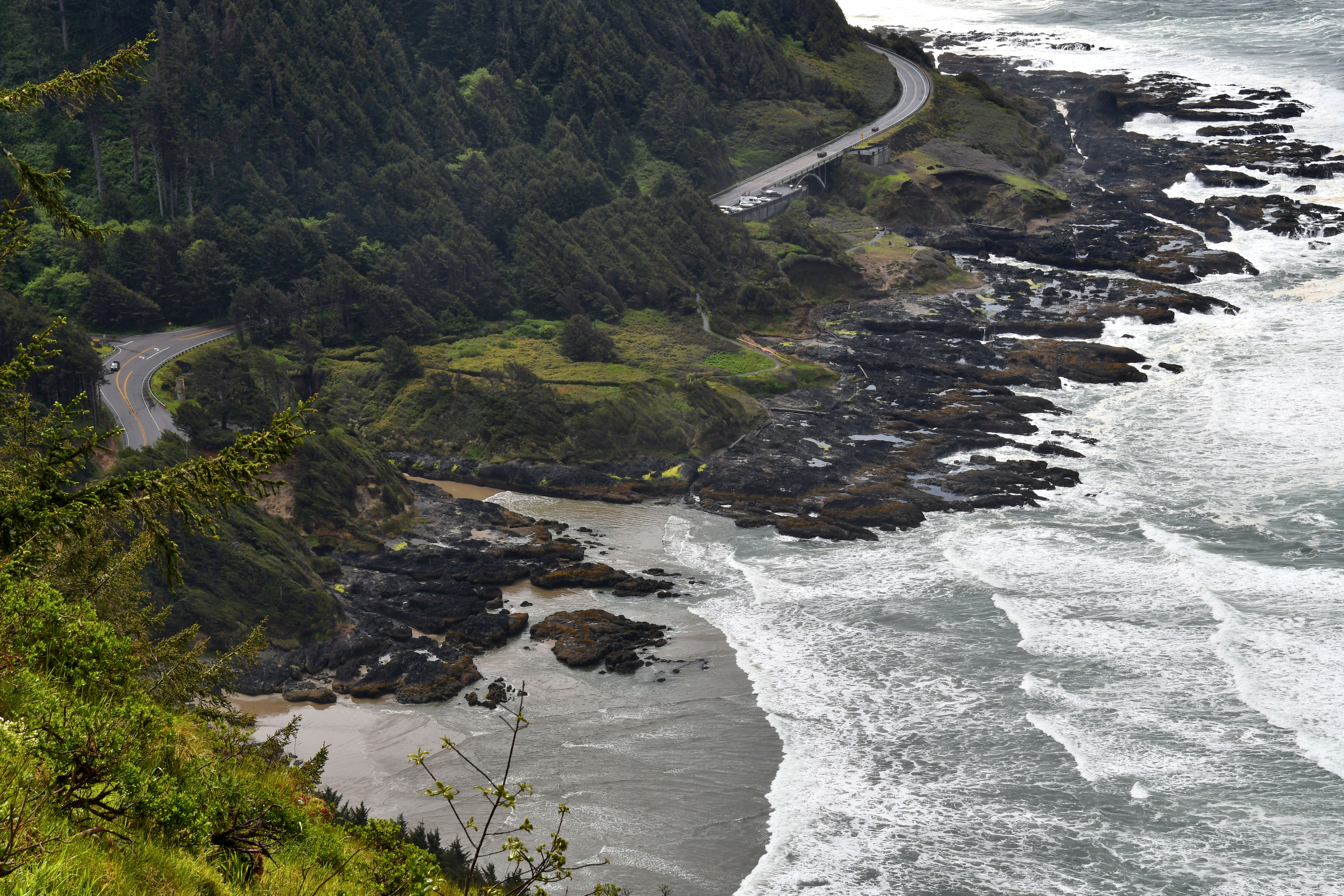
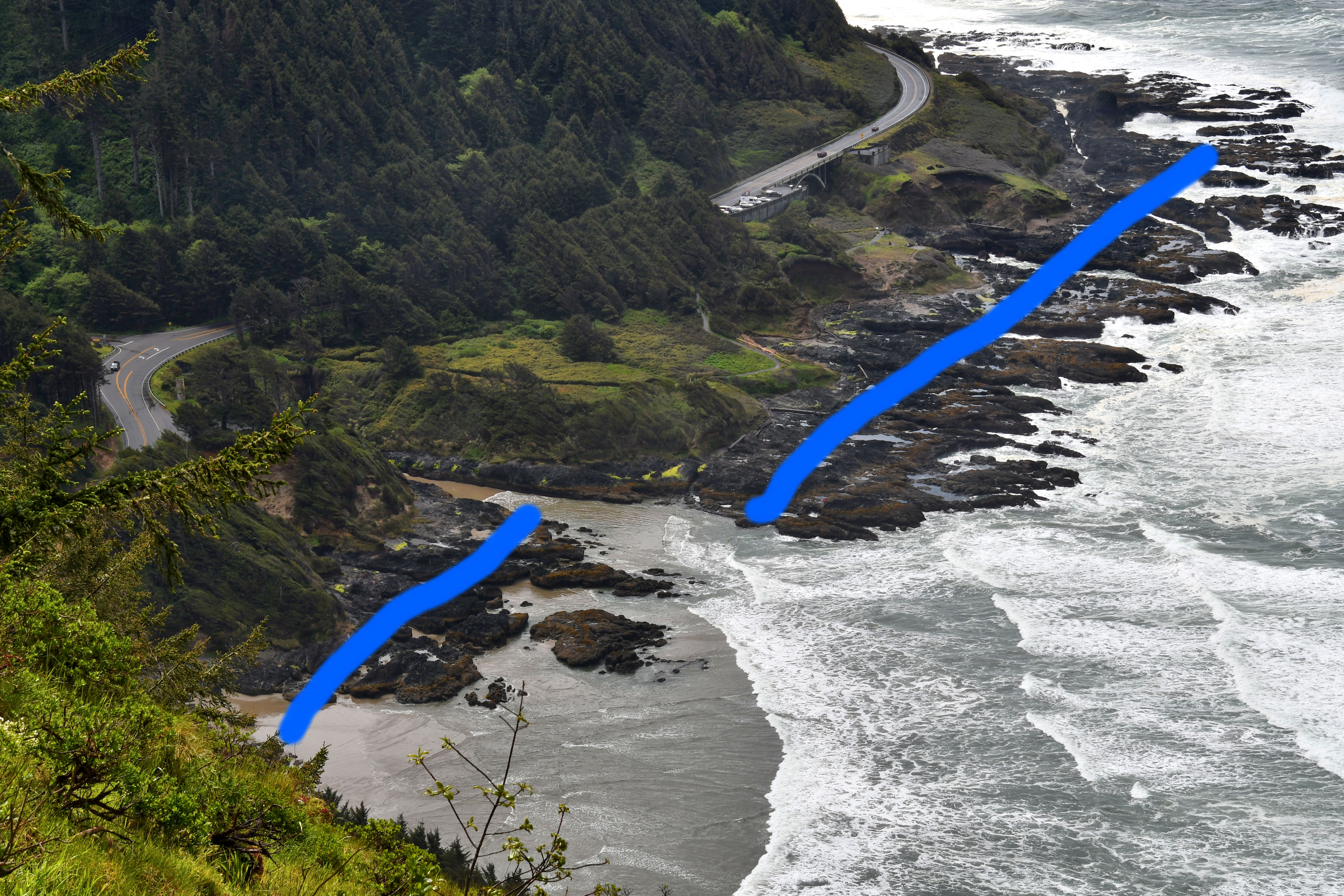
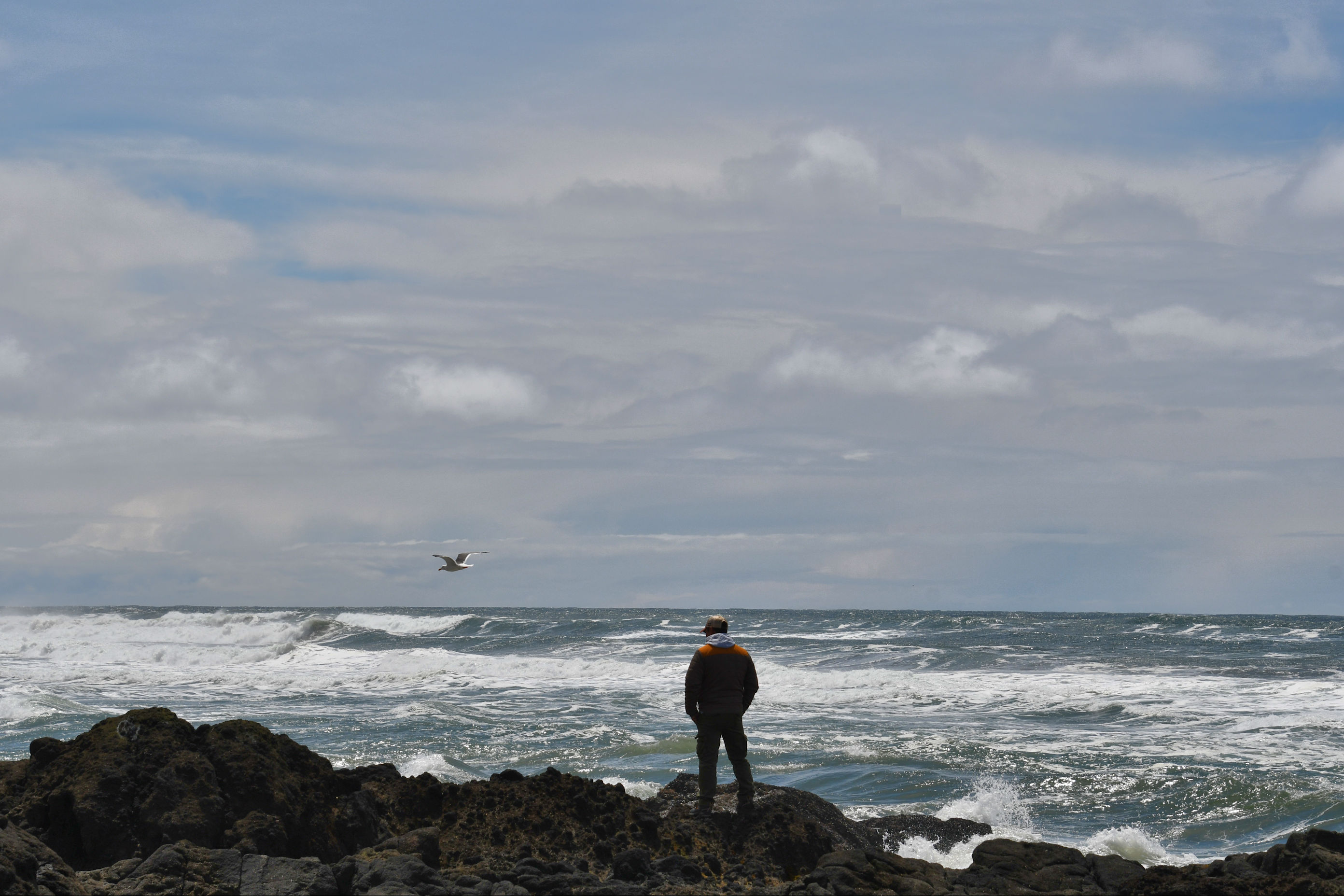
In the photo above you can see a few “cracks” in the continental plate. The largest is a “churn” near the center of the photo, where ocean water splashes relatively far inland, and you can see the highway must curve back to the left to get around it. That is not the mouth of a river, that is the shape of the coastline. There is another large one in this photo, not as easy to see, in the top right of the photo. In that one, the highway does not curve, but if you look carefully you can see parked cars, and right behind them, a bridge arches over the crack.
I hope that at this point you are thinking earthquakes. Yes, that is what Tara was showing me. Here is a place where you can actually see the big picture movement of tectonic plates. They are not smooth, neat blocks of rock floating on magma, but are quite rough clumps of earth’s crust (at least they are here), and all the little cracks are places where pieces of plates are moving around, independent of the main plate. At this spot we are on top of the North American plate, right next to the small Juan de Fuca plate, which is out in the Pacific. Beyond that is the Pacific plate. There is a lot going on right here, geologically.
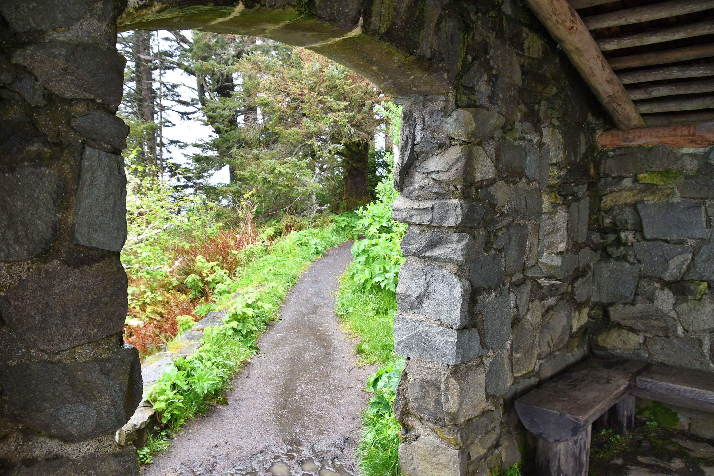
As the sun evaporated clouds and water from the mountainside, we continued to explore up there, at the top of Cape Perpetua.

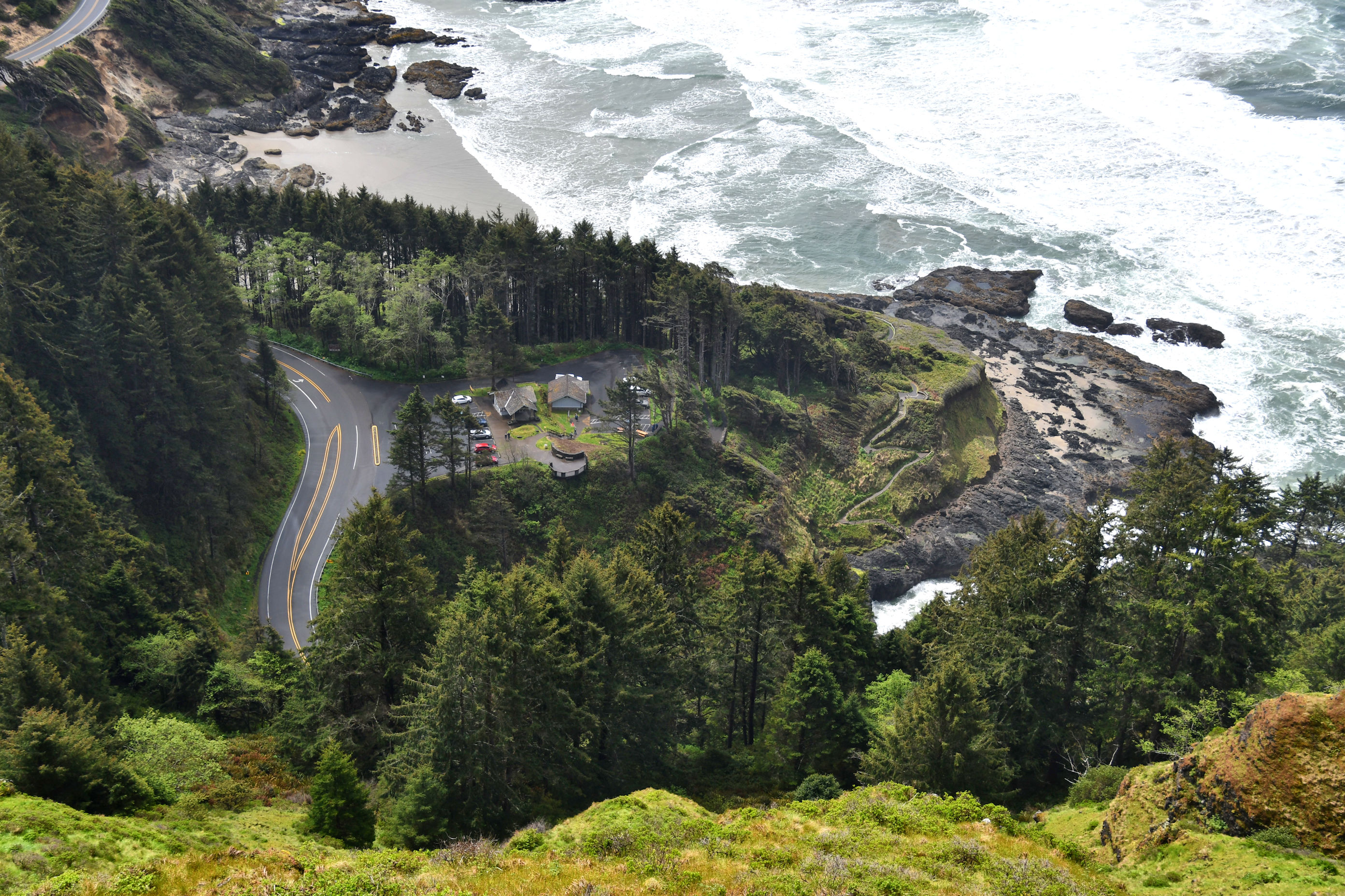
Now that we had seen the top, we were ready to explore the bottom. We drove back down the mountain and crossed the highway and parked in the very parking lot you see in the photo above.


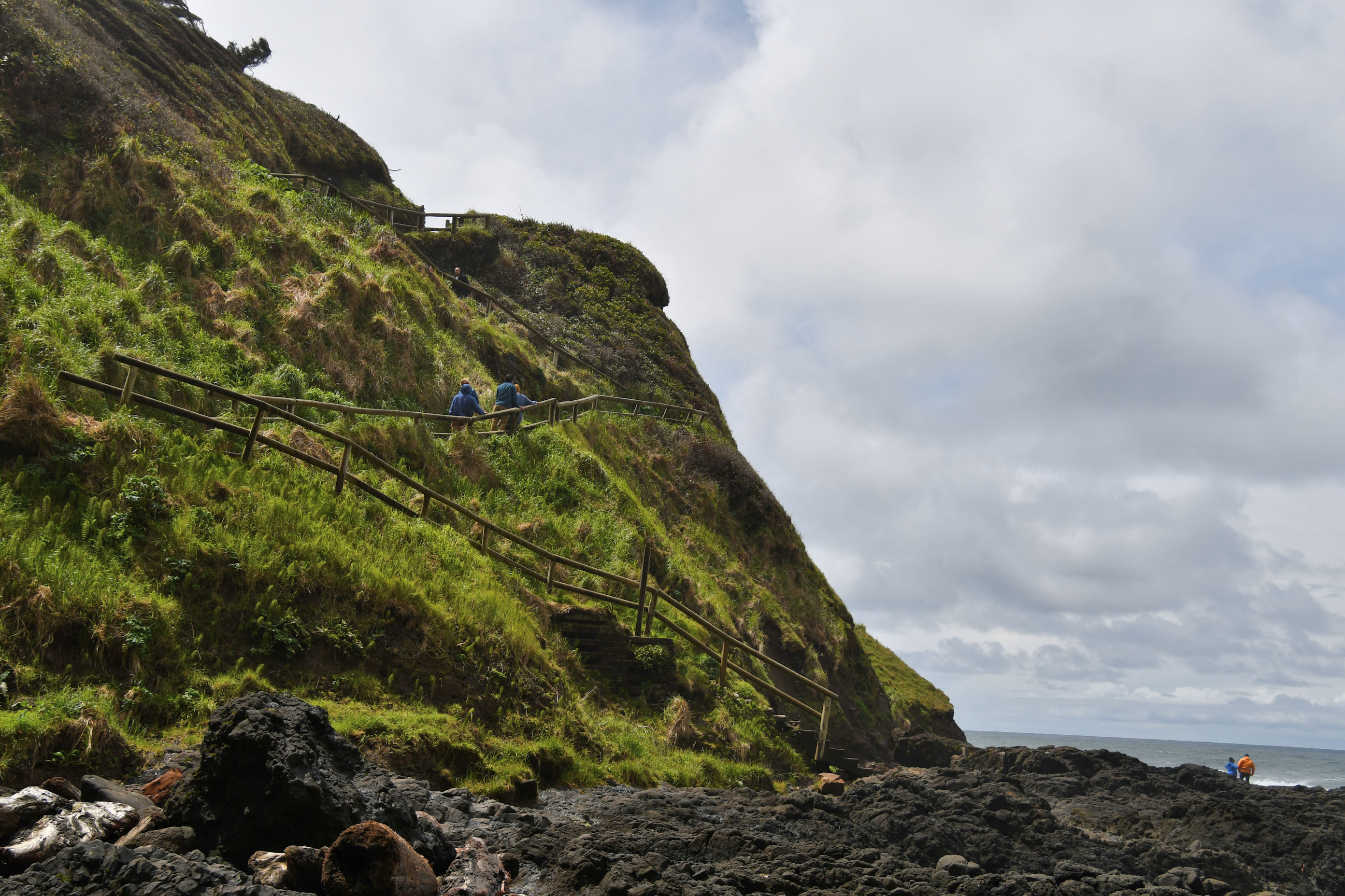
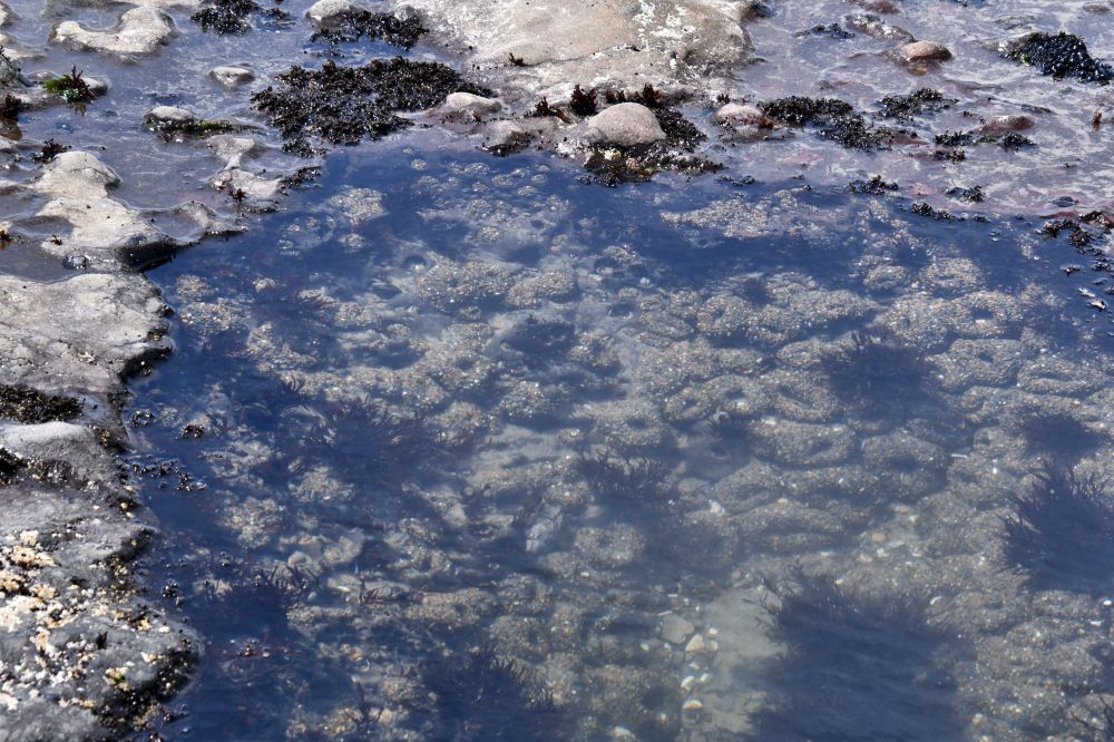
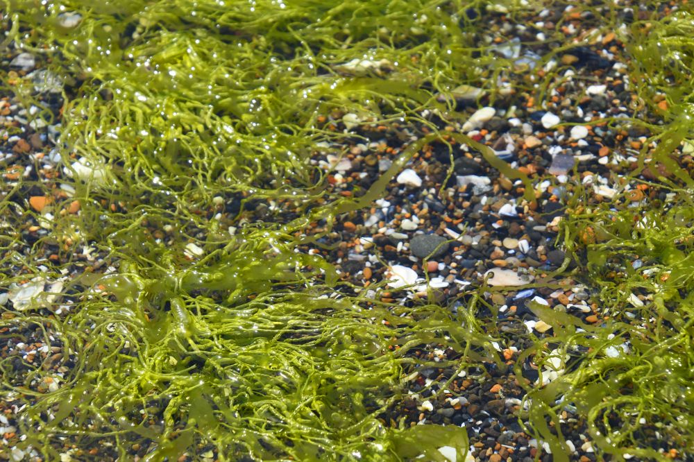
Back up the hill at the parking area, we took a trail going the other direction. You’ll remember this area from my vacation here in February with Pedro, when we watched people taking risks with their lives to stand at the lip of Thor’s Well. This time, Tara and I found an area that looked like it might have tide pools to explore. We didn’t find much in the way of tide pools, but it was still fun.


It was well into afternoon by now and we were beginning to think about food again. We hopped back into the Jeep and drove to Newport, which is the topic of my next post.

Oh, this is just fabulous! I think I’ve heard of it, but now it is definitely on the list for summer. I went to Cape Falcon a couple years ago and love that look down the shoreline. Nice to get some history. Great photos! What a fun day!
Hi Bonnie! I’m glad this looks like something you would like to visit. The road to the top is counter-intuitive, as it is on the LAND side of the highway, not the sea side. You turn away from the Pacific to get up there, and the highway is actually between the stone hut and the shore, which I was not expecting. 🙂
Wet but moody. Great pictures.
Thank you, Andrew. When you’re on vacation at the beach and it rains while you’re there, you just go to the beach in the rain, haha. I know you have experience with this.
That looked so cold, wet and fun. 😉 The two of you out in nature can only bring good things to you. Nature teaches so many lessons. As in, we can’t force nature to do what we want, we have to let it find it’s own path no matter how rocky that path is nor how much we want to show it an easier way to get there. I’m so delighted to see the two of you having such wonderful bonding time. It will ebb and flow for a few more years until a path has been well forged. Looking forward to the next chapter.
Thank you, Marlene. ❤ Yes, it was all good stuff for us. The weather was so cooperative during those three days. I mean, sure, rain. But not 100% of the time. And it wasn't prohibitively cold. Sort of a typical Mother's Day in the PNW. It's good to remember the things I can learn from nature. Another one is: when things get wrecked, just give it time and spring brings leaves and new shoots, and you realized it's not wrecked, just damaged, and things can be fixed if you give it time to heal. It was fun to let Tara lead me to places that they love.
A fine record of a wet trip that was not going to daunt either of you. “but we had all day” is an admirable attitude.
You figured it out, Derrick. We were in a mood to have fun, and weren’t ready to allow anything to get in the way of that.
I live in the Portland area and love reading these touristy posts. When you live here, you just live and don’t get out to do and see “all the things.” It’s a good reminder that I am lucky to be able to take advantage of that whenever I want! Thanks for the history lesson too!
Oh hi, Katie! We’re neighbors then. That is pretty cool. I’m out on highway 30 past St. Helens. Yes, it’s hard to remember to check out the local things wherever we live. But I’ve always been lucky to have a bug in my bonnet that makes me eager to get out and explore and see stuff, and I drag my loved ones along with me. 🙂
So fun to see! I was just at that cape this winter, staying in Yachats, and had no idea what was up above. But it was pretty cold and windy and rainy for us, so I might not have been so adventurous. I’ll have to go looking for “a road at Cape Perpetua” and see if I can find it. 🙂 Also, traveling with geologists is the best!
Traveling with geologists is the BEST. I tried to look up the name of a road for you, and didn’t find it, but there are pages with trail information to hike to the West Shelter. It’s the Whispering Spruce Trail. I also learned that the shelter was built as a defensive overlook post, and had a gun mounted there. I should have guessed.
Oh great, that helps!