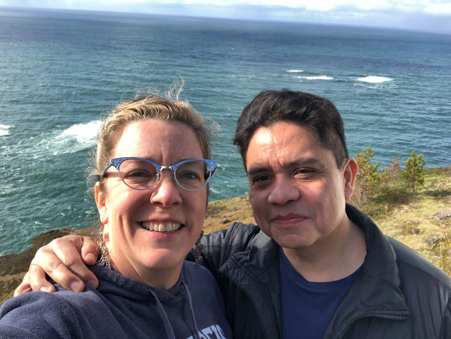
Since Pedro was a dear and agreed to fly to Boston with me for my birthday last month, I agreed to do whatever he wanted for his birthday this month. He told me he wanted to stay in a yurt on the coast, and also to ride the sand dunes and maybe go hiking. I did my best to plan it all. In our four day birthday road trip, we did all but the hiking, and we both had so much fun!
We had been watching the weather for a week, trying to prepare, and the more we checked, the more the forecast said, “RAIN.” Every single day it was forecast to rain. It’s a good thing I have connections. I pulled a few strings with my old meteorology friends and made sure our weather was stunning.
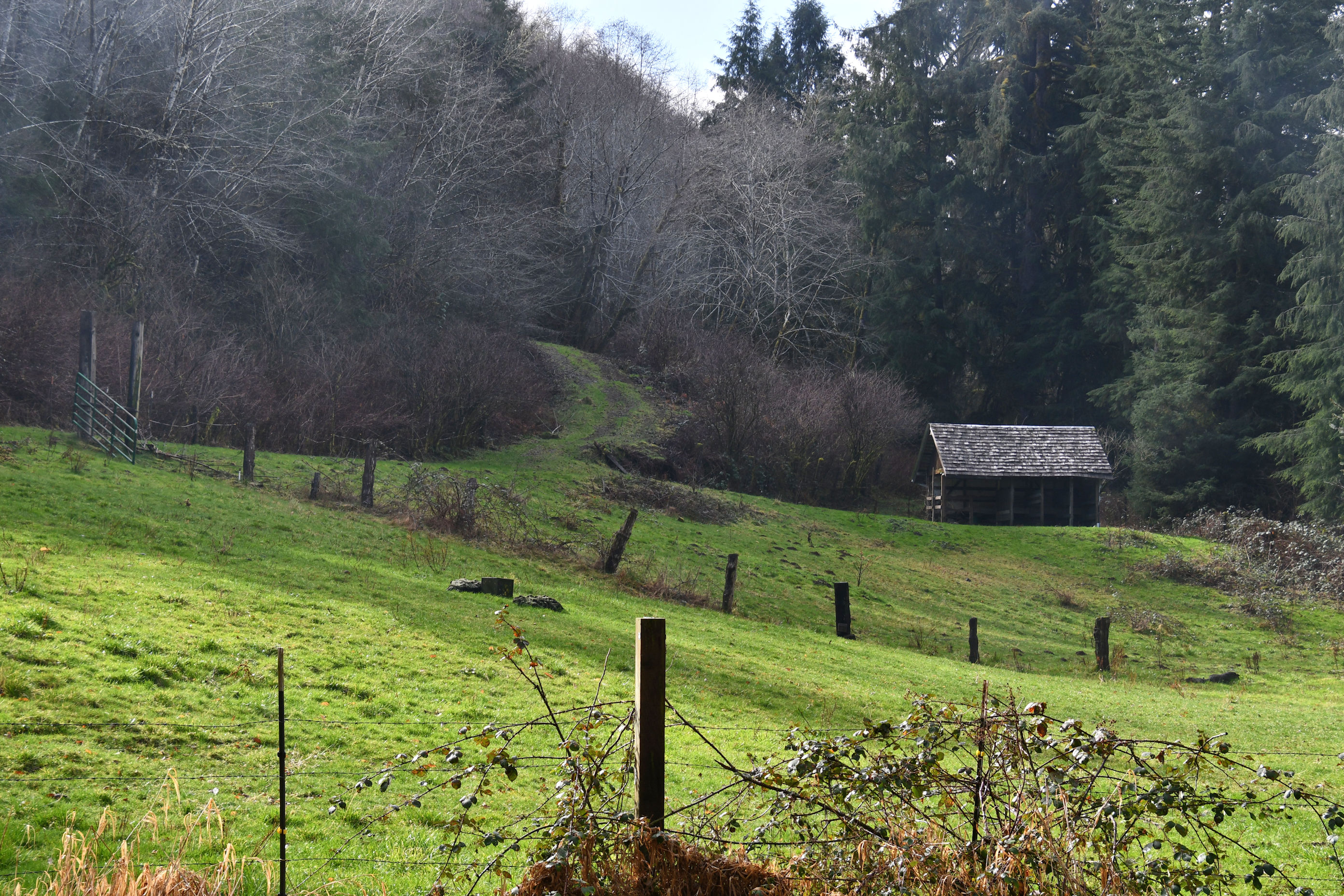
Day One we simply drove south. It was an all-day journey just to our first stop in North Bend, Oregon. First we left Portland, went through the Coastal mountain range, and got ourselves to the Pacific Ocean. We turned left at the fabulous Highway 101 that hugs the Pacific coastline from British Columbia to northern California (where it continues, but is then named Highway 1.) Once we were on the highway driving south, we stopped at many places along the way, soaking up the views.
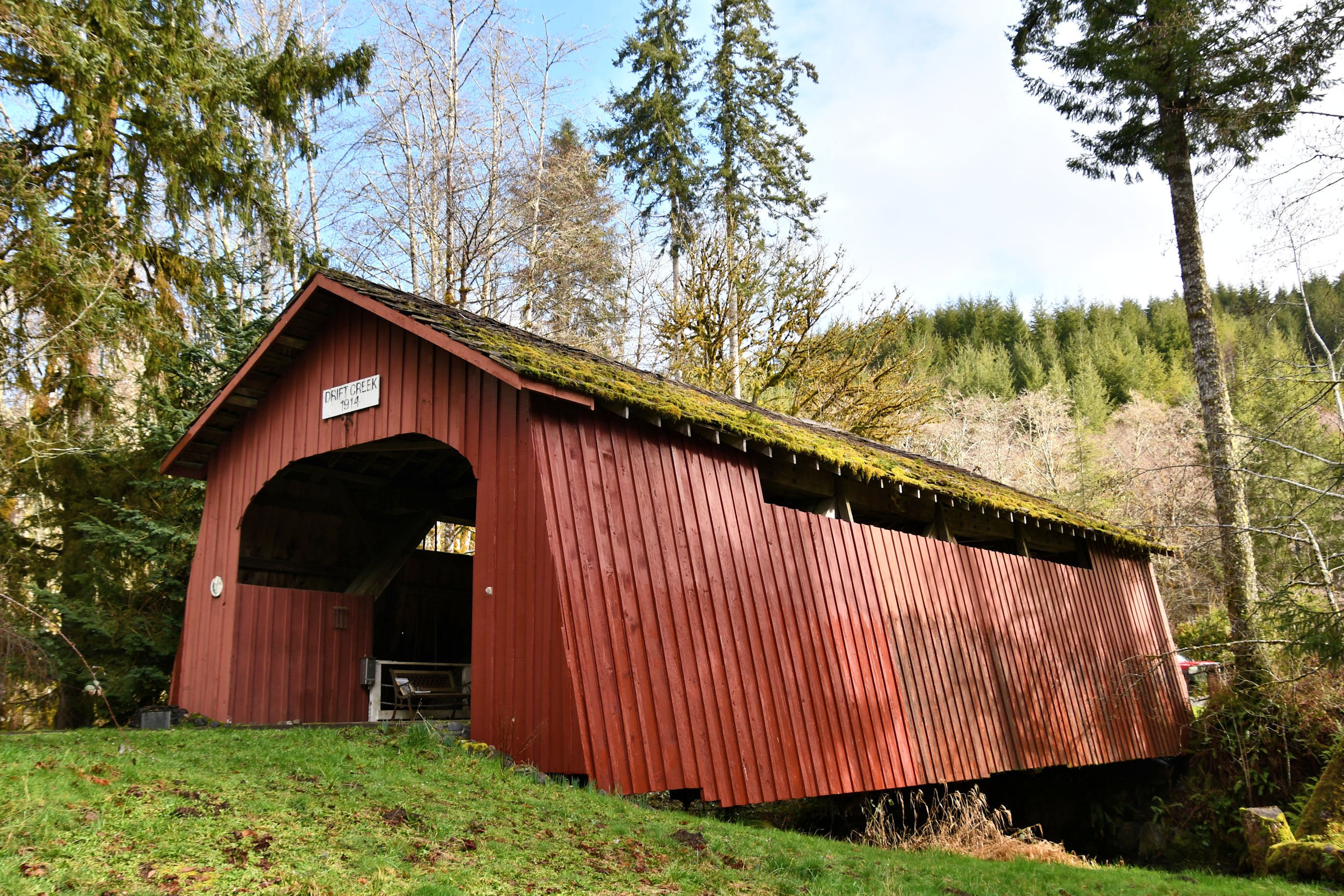
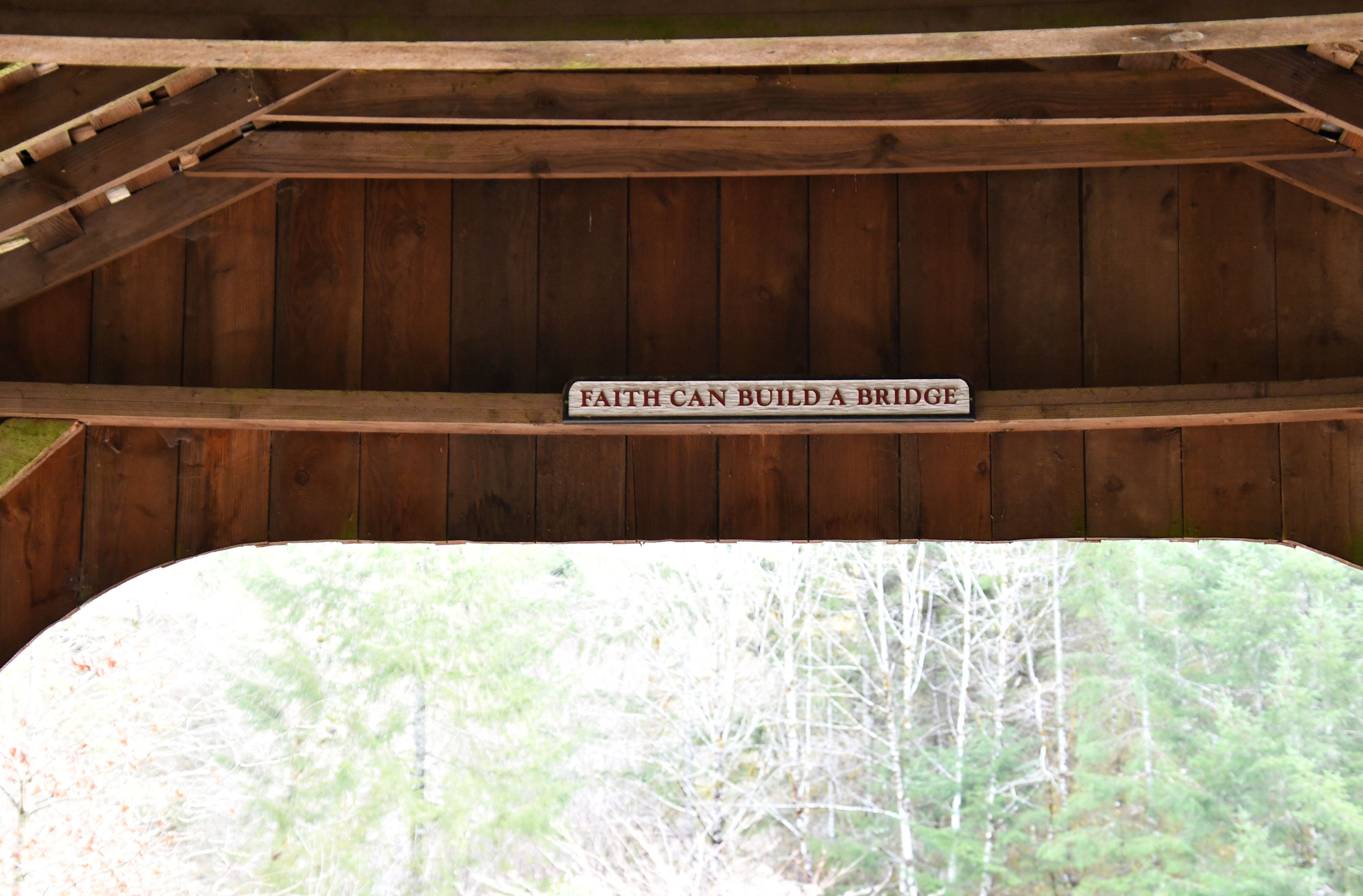
Our first stop was to follow a highway sign to a covered bridge that neither of us had seen. The Drift Creek Bridge was built in 1914 and once covered a portion of the main north-south coastal road over Drift Creek. A new, bigger, uncovered bridge was built and this covered bridge was moved away from the beach to a nice, safe spot on Bear Creek. At one time, there were around 450 covered bridges in Oregon. The number is below 50 now, but that is still a lot of covered bridges.

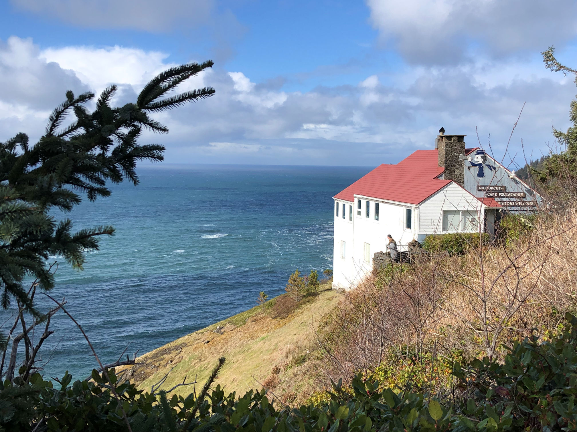
A new highway sign pointed us to an overlook with a large parking area and bathrooms, which had become an item of interest after a couple of hours. We spent some time at Boiler Bay State Scenic Viewpoint though it was fiercely windy the whole time and rained on us a bit.
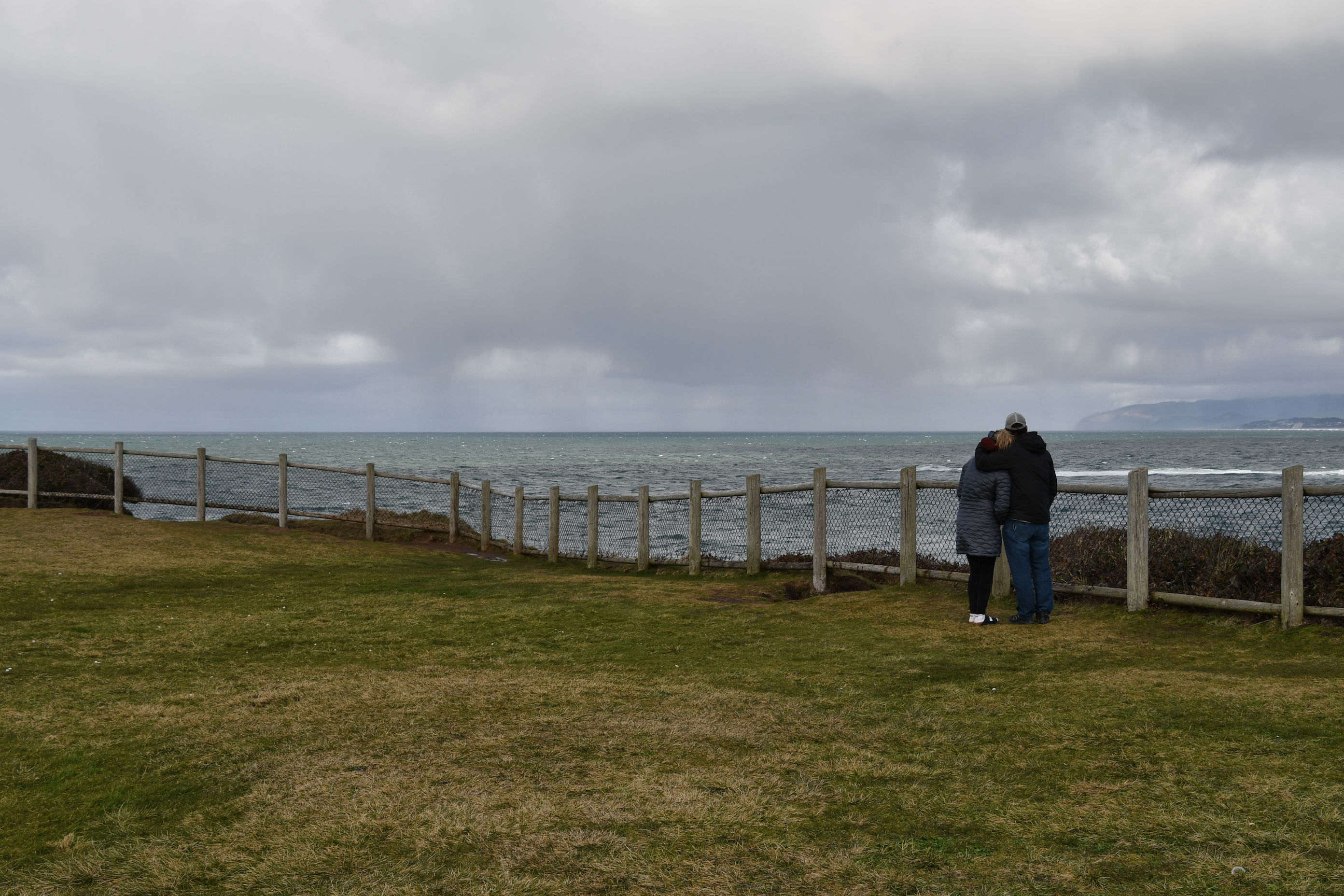

Our next stop was Otter Crest State Scenic Viewpoint. We had simply pulled into an area that promised a view and a place to park. It turned out to be a great stop, and the wind was not raging here, so we took our time and looked around.


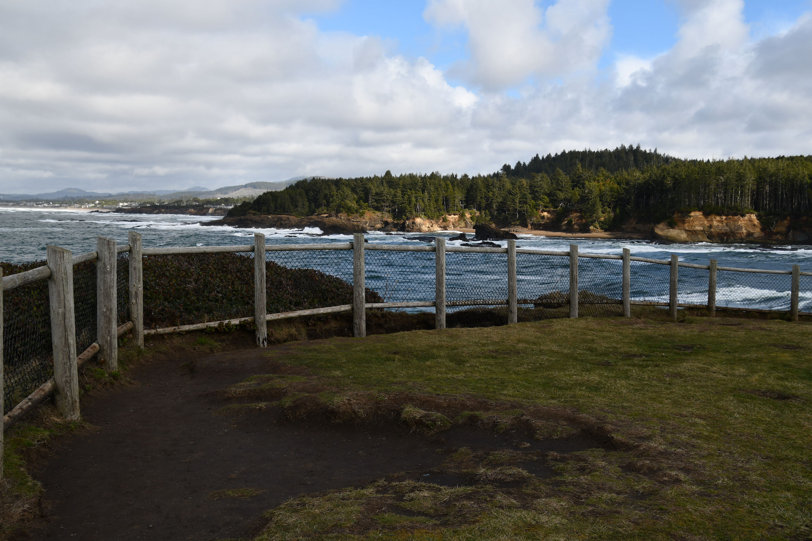
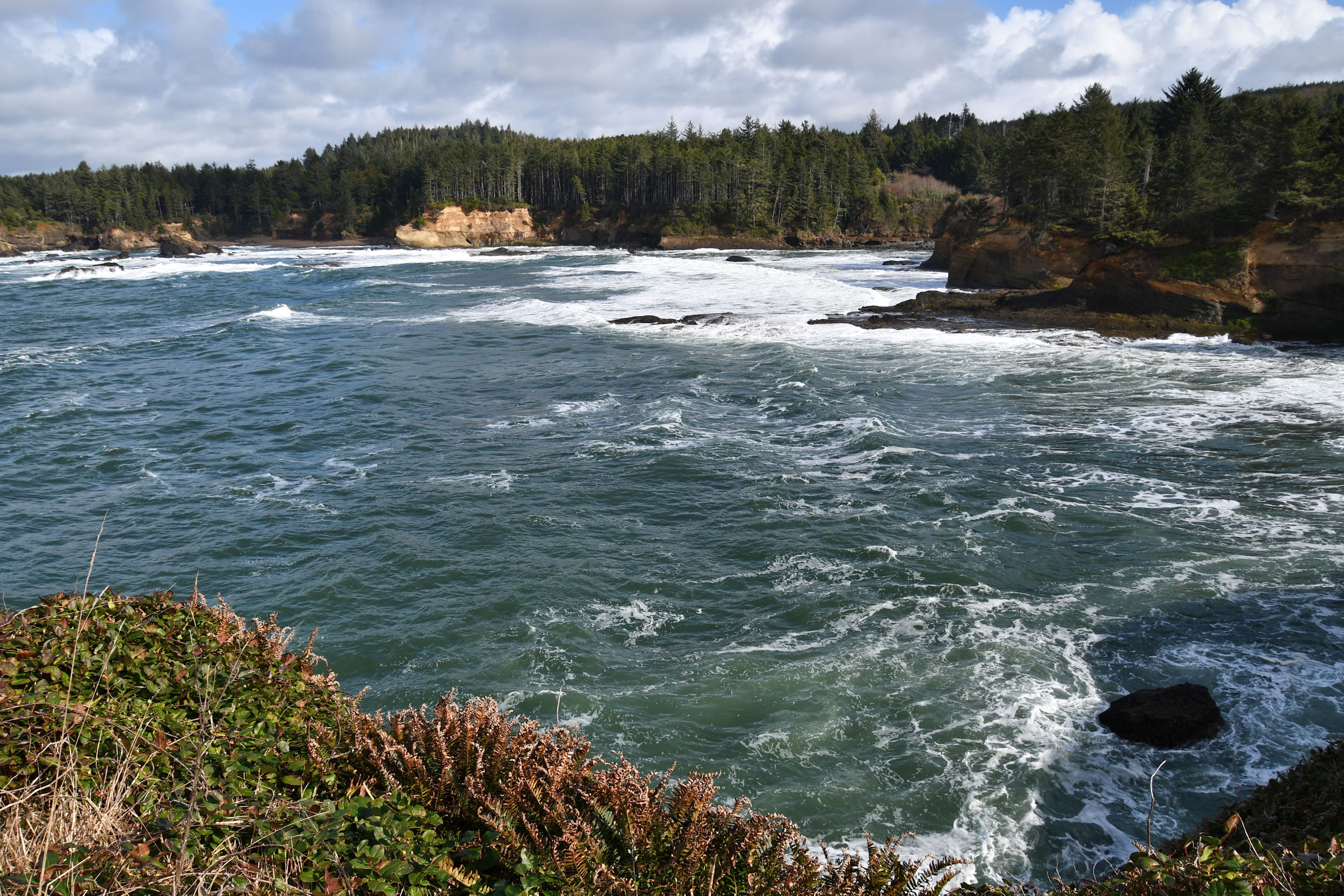
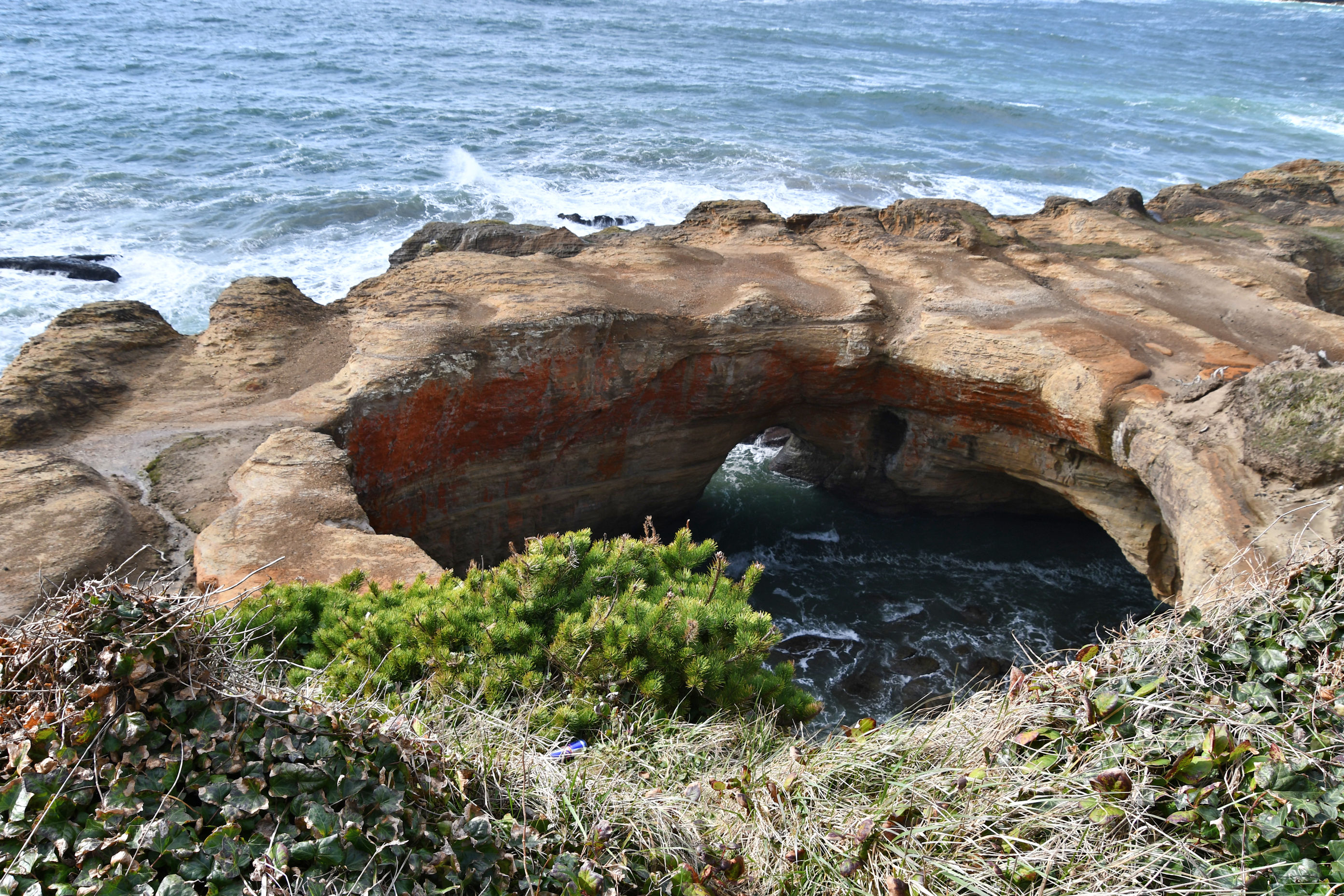
We barely had begun driving again, south along the famous coastal Highway 101, when we saw a sign for Devil’s Punchbowl. That sounded like something we had to see. We stopped the car once more.

Heading south again, almost to Newport, Oregon, we were stopped at a traffic light and I saw a new sign, pointing to the Yaquina Head Lighthouse. Without asking what Pedro thought about it, I turned in as soon as the light changed. This was a place I had been before, and I knew it was worth a look. When we got closer, Pedro recognized it as a place he had been as well. We were both glad for the stop. We parked at the visitor center and made the half-mile walk to the lighthouse so that we could get a little exercise after spending too many hours in the car.


We decided to speed up the journey. Stopping at every interesting place with decent parking was going to take too long. But there was a sign for Devil’s Churn. What could that be?

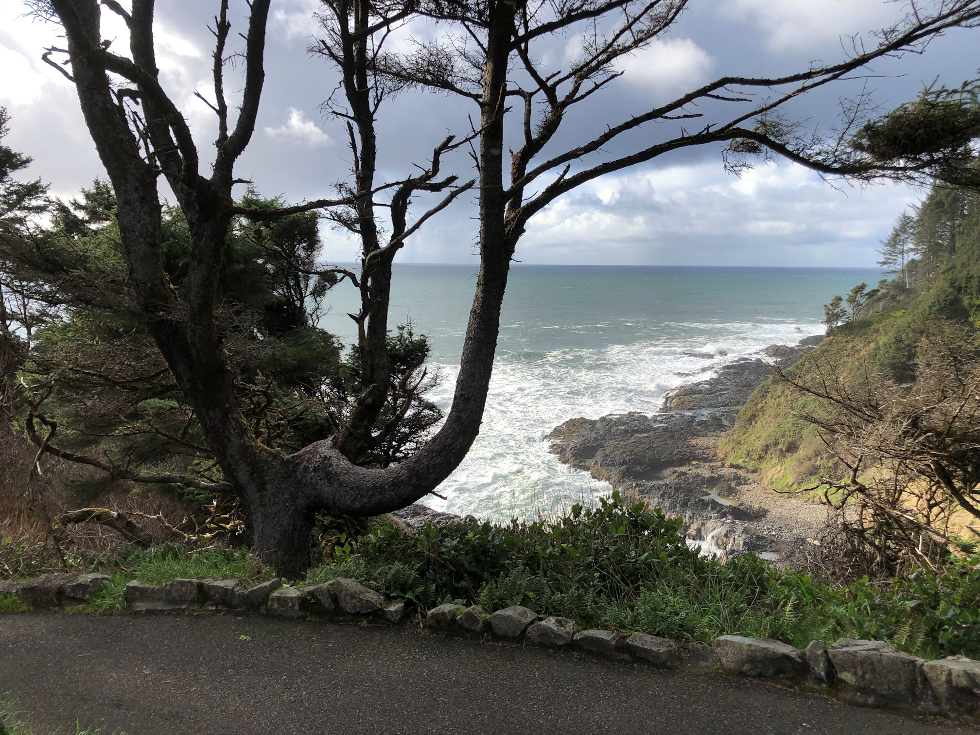
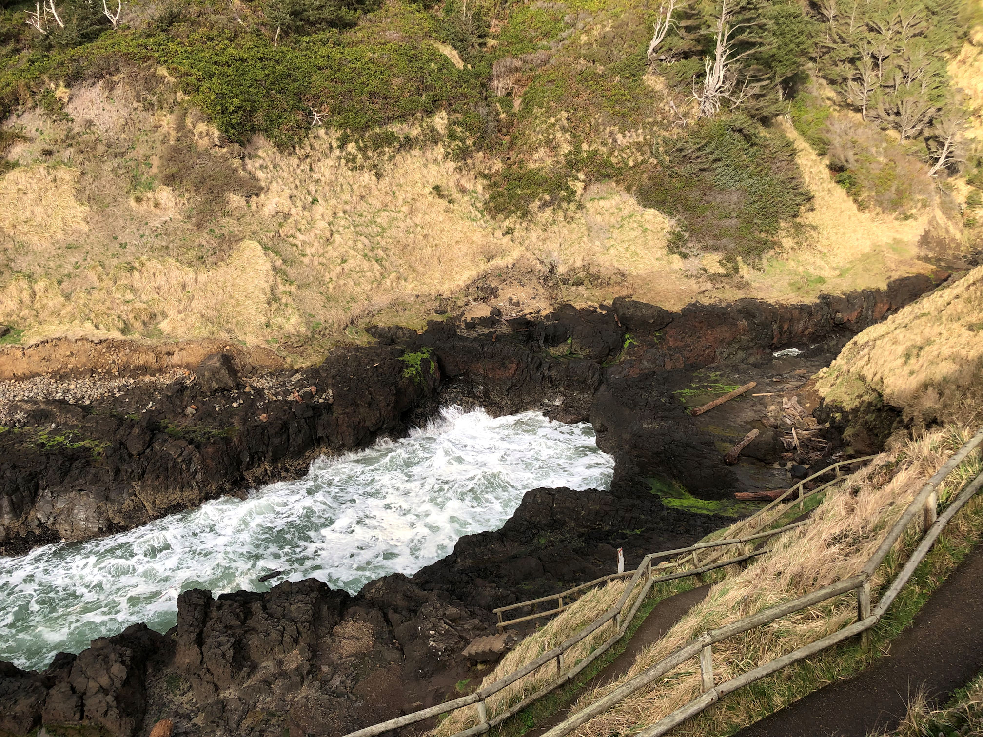

Devil’s Churn looked dangerous to us. The path leads directly to the rocks, and from there, visitors can walk anywhere. We stayed away from the edge of the churn itself and did not stray too far from the path back up the hill. It turns out these were good instincts. We found out two days later that a man got too close and fell in last month, and lost his life.
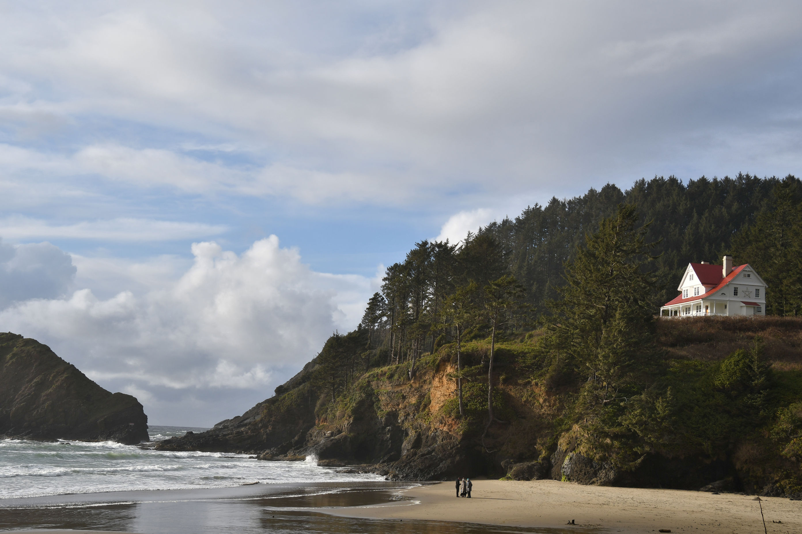
Back in the car we were not planning to stop much more, but then there was a sign for the Heceta Head Lighthouse State Scenic Viewpoint. We couldn’t resist. But then in the parking lot a sign indicated that there was a half-mile trail to get to the lighthouse. We watched the setting sun and felt pressed for time. After walking on the beach a little, we hopped back into the car. I blogged about it in 2014 if you want to take a look.

We got serious about travel, and pressed on for a final hour to reach our destination for the evening. While driving, the phone rang in the car’s hands-free system. It was the hotel calling, so I answered with some concern. “Hi, this is Ric at the Itty Bitty Inn, how are you this evening?” We said we were well. He continued, “I just wanted to know if you have dinner plans. If you like, I can call around and see what’s open and what the specials are for you.” A little astonished, but delighted, we agreed. “Alright, I’ll make sure I have some options for you when you get home tonight. See you soon!”
Our room, and our entire stay, at the Itty Bitty Inn in North Bend, Oregon was such a blast. I can hardly wait to tell you all about it.

This sounds like a really nice drive. I can imagine resisting the urge not to stop at every single place of interest along the route — I’m glad you decided to check some of them out for the photos you took provide us with a glimpse of what this part of Oregon has to offer. I’m really impressed with that person from the Itty Bitty Inn. Now that’s a stellar customer service!
Bama, I’m glad you enjoyed our drive down the coast! I live so close and it’s a shame I don’t go over there more often, but Pedro had the right idea. I was impressed with the customer service also. We saw Ric multiple times by the time we left and he really helped make our stay marvelous.
A fine truelove touch. I liked many of the photographs and single out the seagulls/people and the lighthouse shots. The Yacona people information is fascinating, but also very sad.
Thank you Derrick! I think the seagull shot turned out great. We were standing a distance away and I relied entirely on my camera’s lens to make that image happen, and it worked. Lighthouses always delight me: even the tiny ones that are just an electric light mounted on the side of a building for safety. I love it when they are as gorgeous as the Yaquina Head Lighthouse. Yes, I only recently learned about how many Native peopled died due to disease during the first exploration by non-Native people here. A professor said to us that when settlers came in from the Eastern US, they thought so poorly of the Natives they encountered, but that probably had a lot to do with how decimated they were. Imagine losing 90% of your town. They must have been in terrible distress and disarray when white folks really began arriving in droves.
Looks like a lot of fun, I especially like the seagull picture
Thanks Andrew. Derrick liked it too. By the time I reached that spot, the gulls were gone, so I’m glad I took the shot when I did.
You’re doing it beautifully. ❤
Why thank you!! I have to give all the credit to the natural beauty of our beautiful Oregon beaches though. 🙂