If you read my last post, you saw that I drove the 4 1/2 hours down to Bend, Oregon to see an art show and found my childhood home at a museum. I spent one night in Bend and found two quick, easy trails to walk the next morning. First of all I enjoyed Shevlin Park, a large park right on the edge of the city, then I spiraled up Pilot Butte.
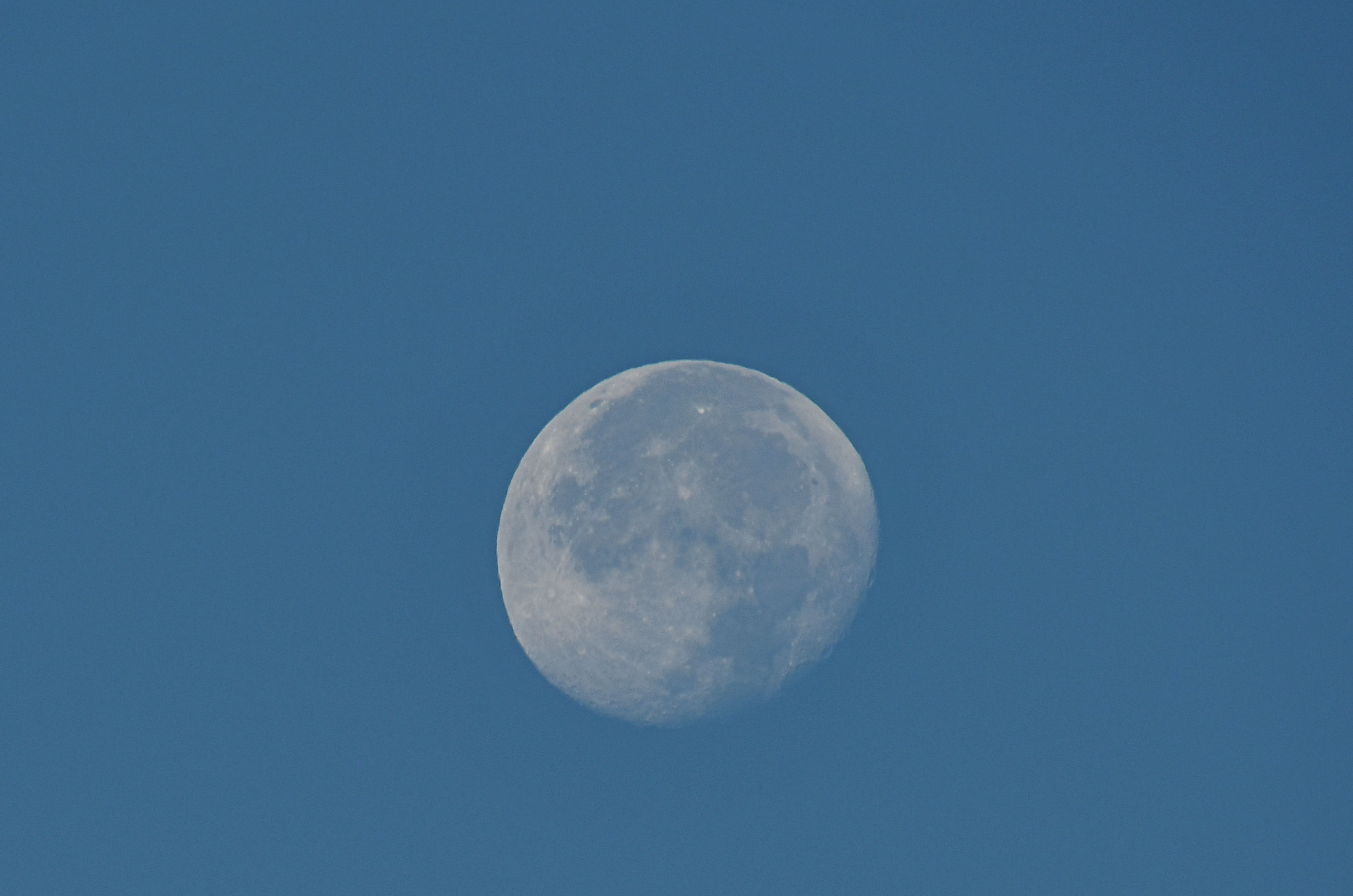
Bend is in central Oregon, so it’s much more arid than where I live. Thus in October the weather is more reliable, and possibly more pleasant, if one likes sunshine more than rain. The morning was outstanding, and before I climbed into my Jeep I had to stop and photograph the moon over the city. Then I drove on to the park to meet a friend and explore the trails on a crisp Autumn morning in October.
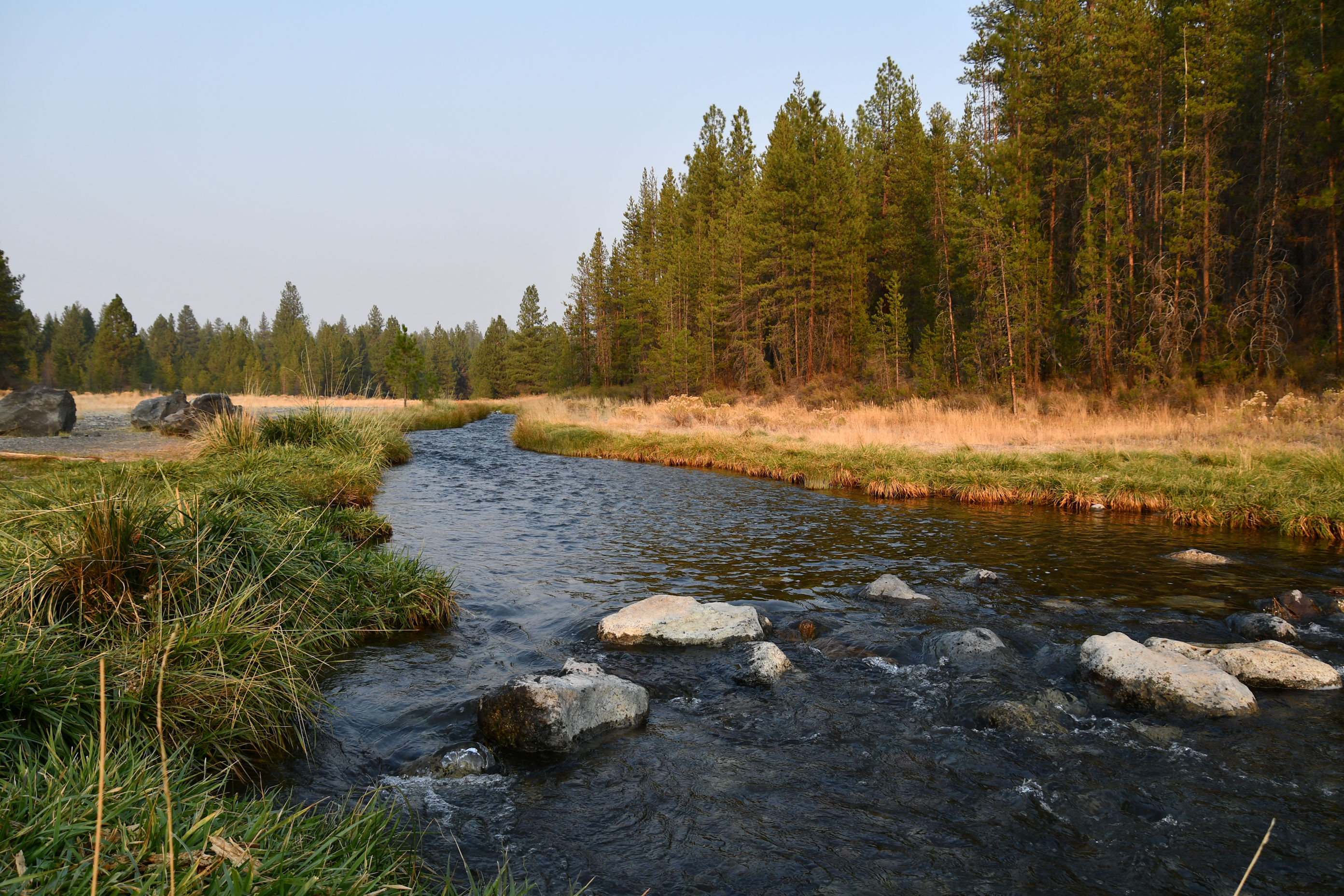
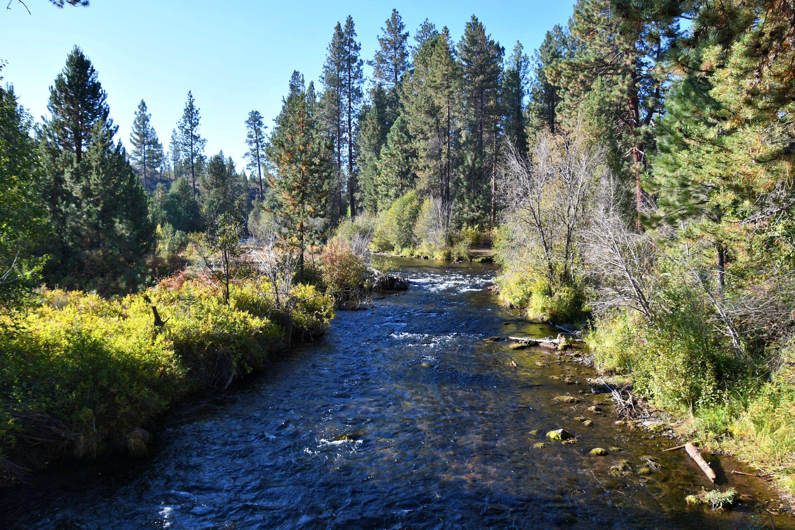
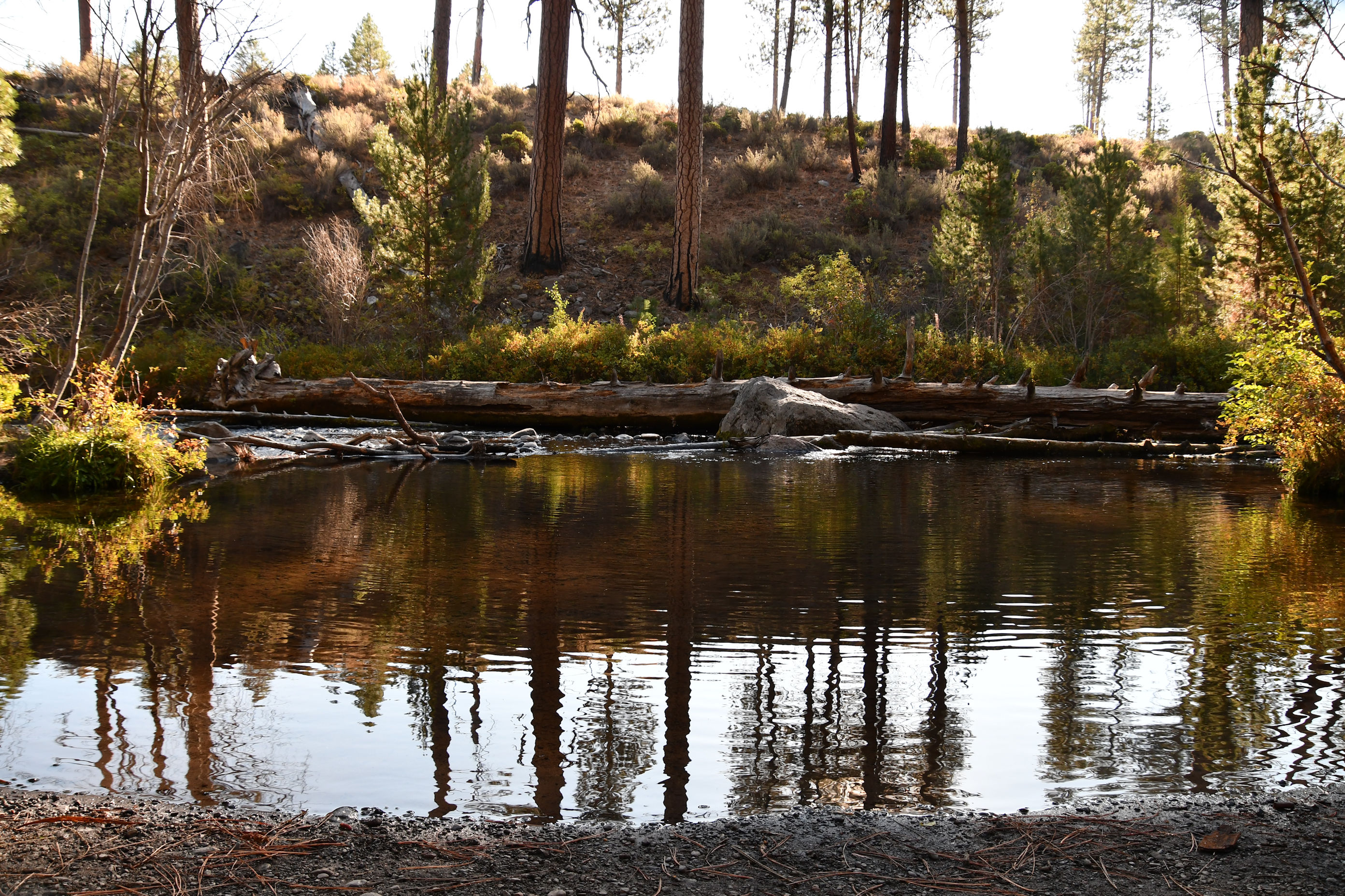
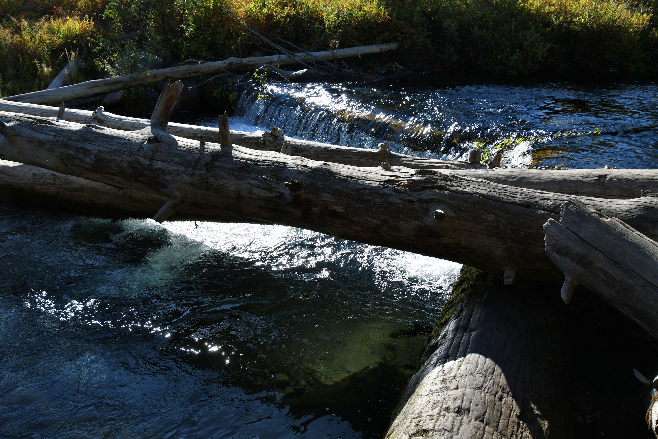
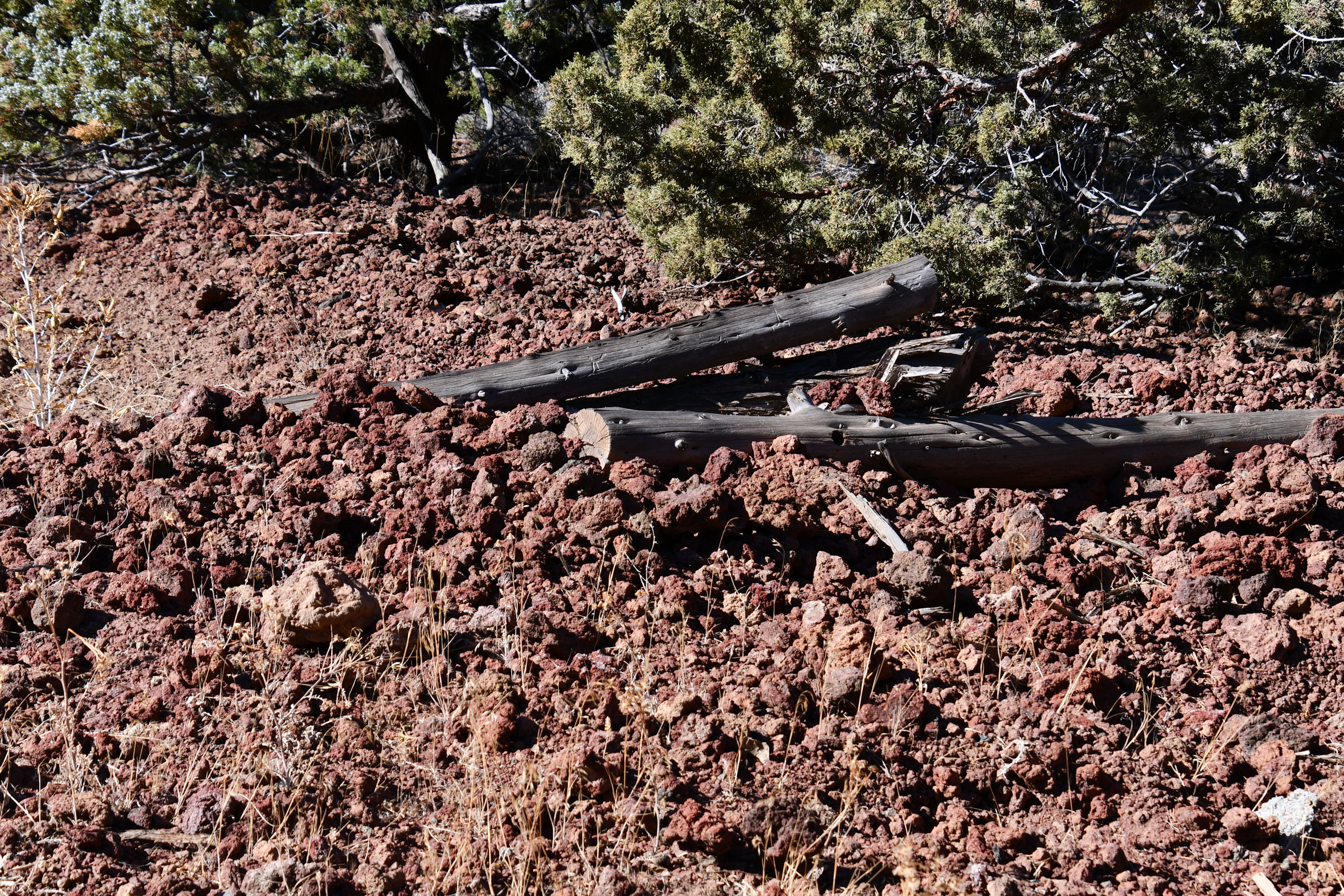
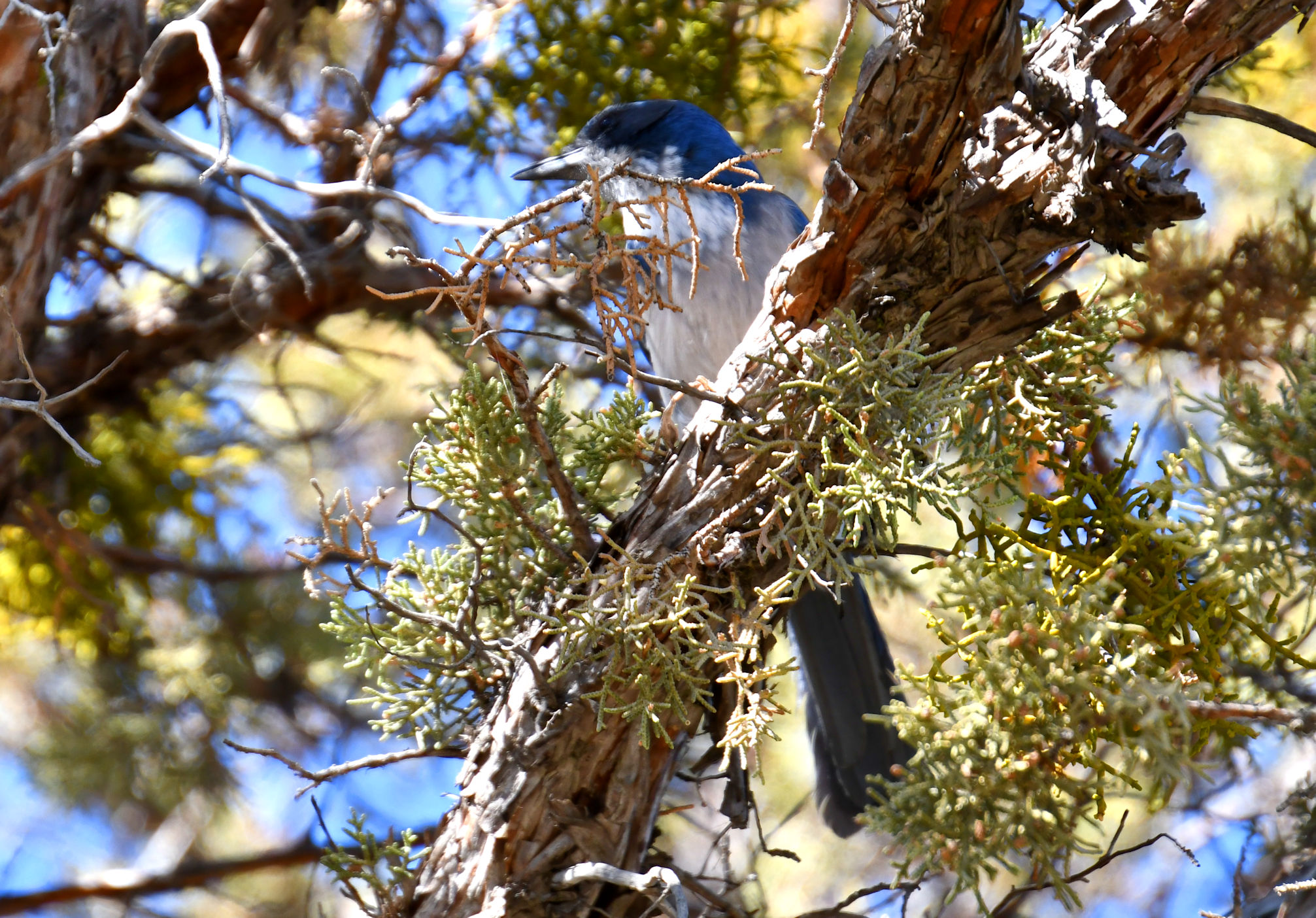
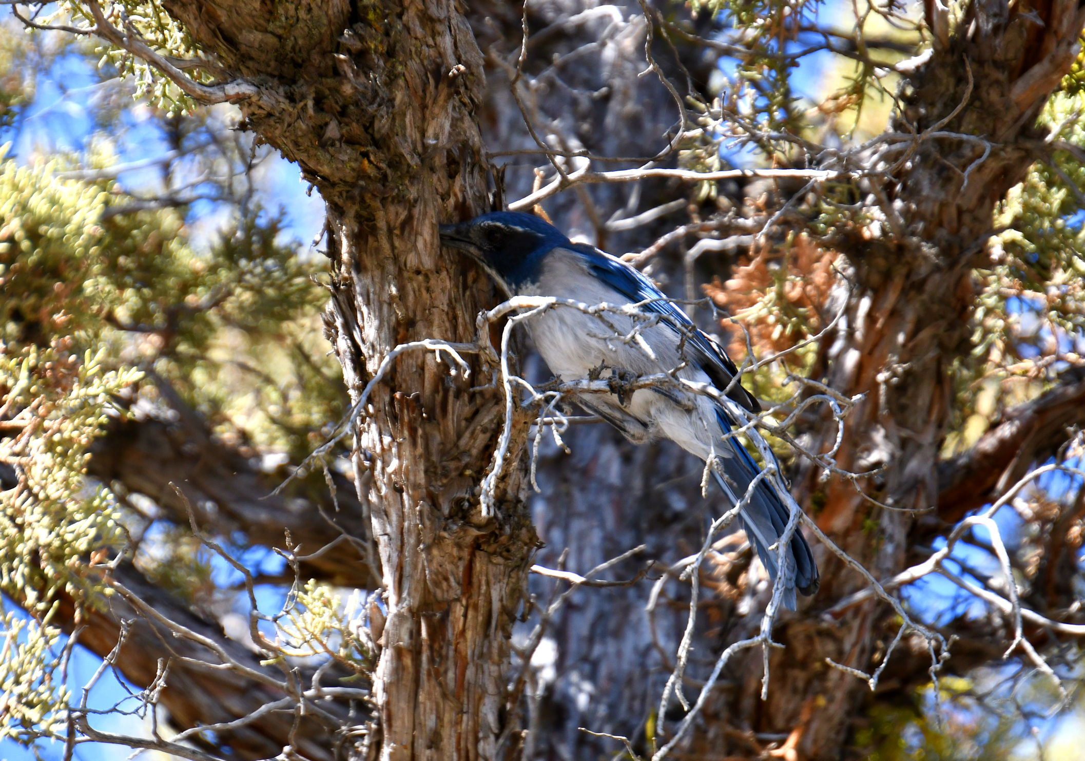
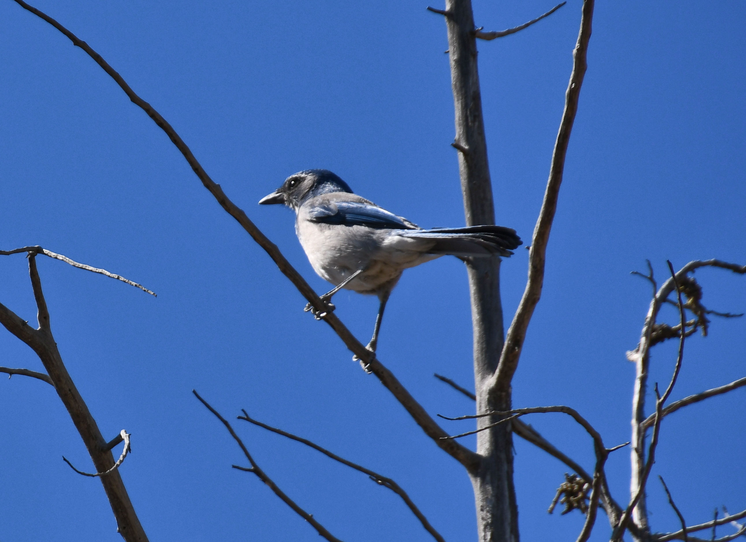
Shevlin Park is very close to town, and is quite large. It’s a great option for locals to escape the tourists throngs, or for tourists like me who also enjoy nature sans people. The trails are mostly flat, so it’s good for children and bikes and dogs and anything else family friendly. There is lots of access to the creek, so of course I spent some time poking around in the water and climbing onto logs.
I found out that an explorer I recently mentioned in my Modocs posts, John C. Frémont, camped here along the creek December 5, 1843, three years before his appearance in the Modoc story.

After an hour or two at Shevlin, it was time for me to move on. I opened up my AllTrails app to see what was nearby and it recommended Pilot Butte. This trail is within city limits, and I read that there are only two volcanic cinder cones within city limits in the entire state. The other cinder cone is Mt. Tabor in Portland, and I have hiked Mt. Tabor hundreds of times! I thought that was a sign that I needed to climb Pilot Butte, so off I went.
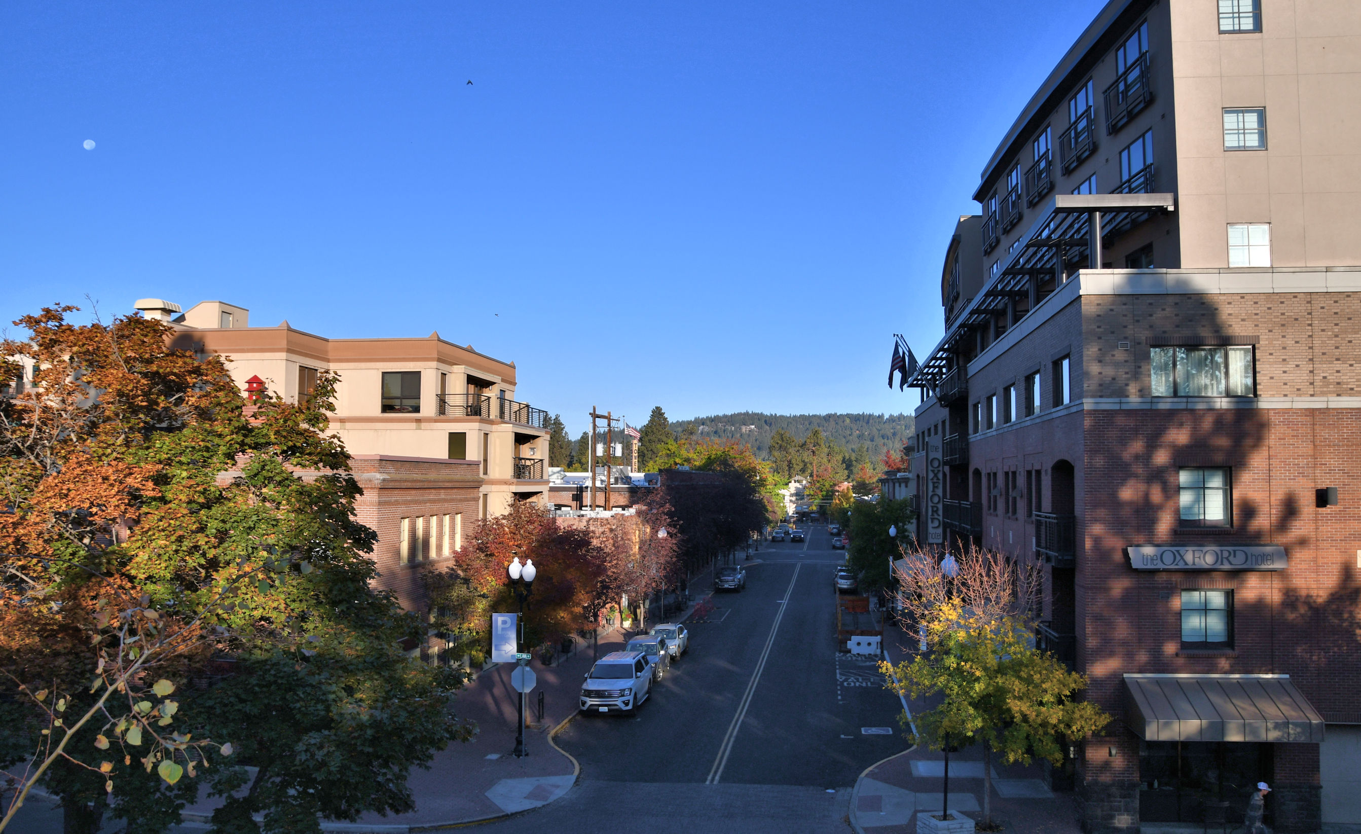
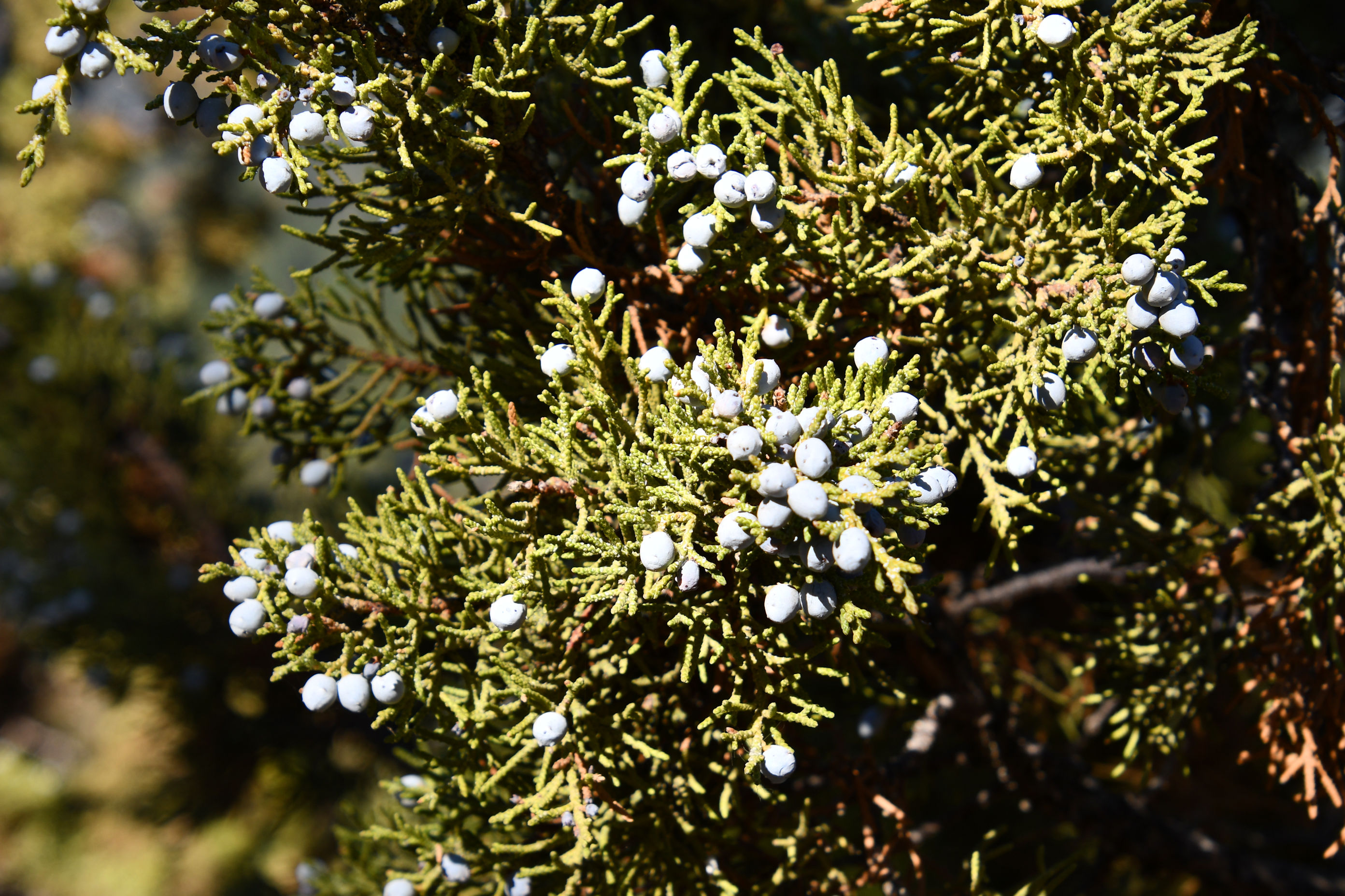
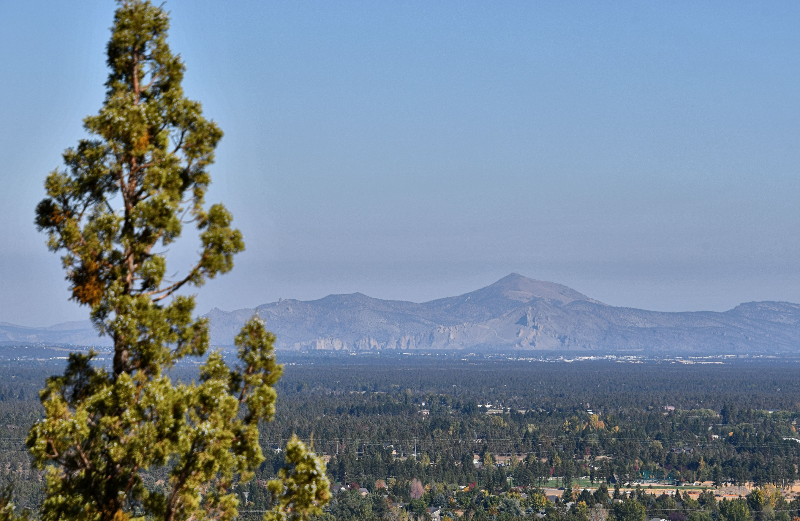
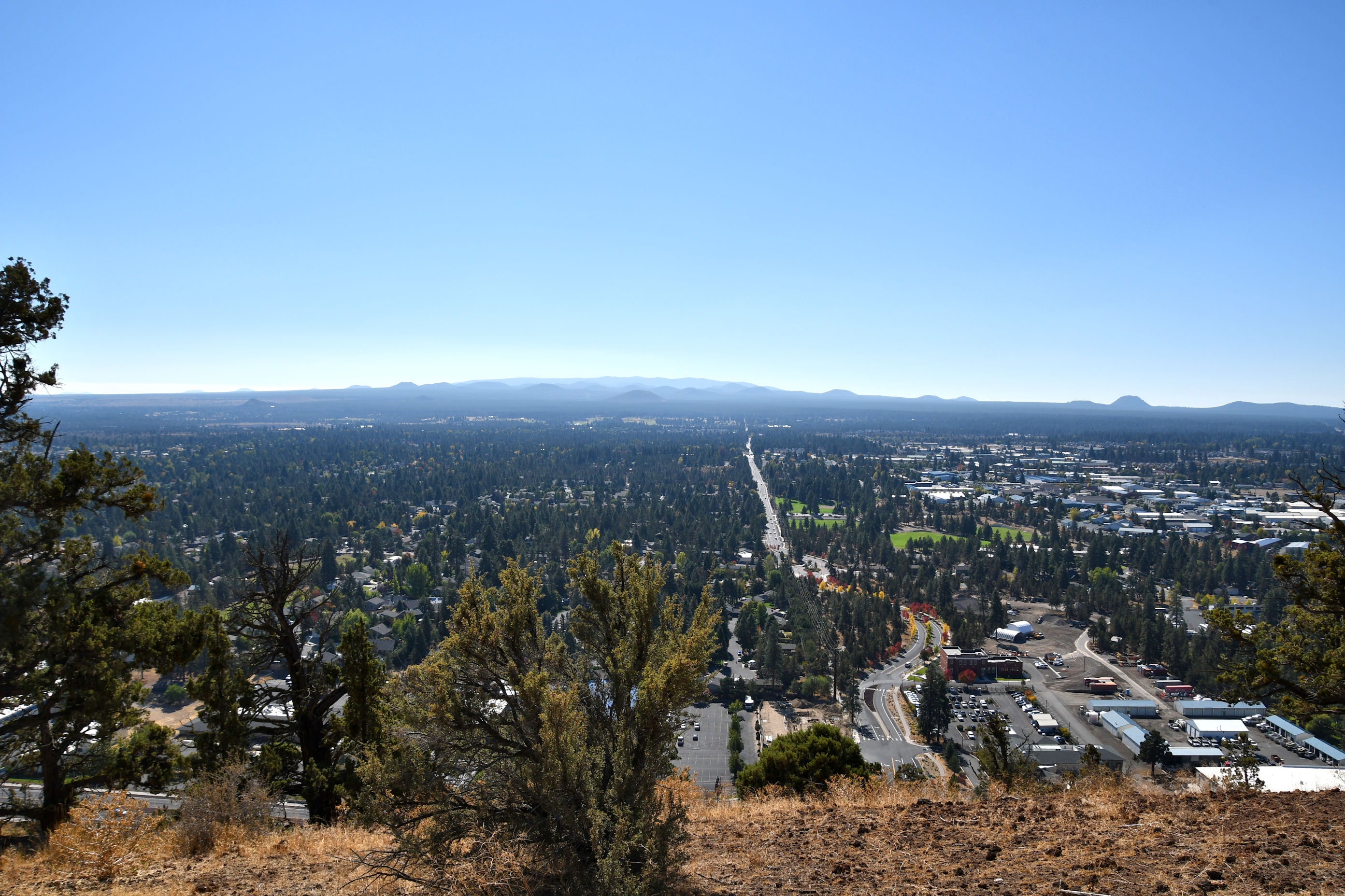
While Shevlin Park was a nice, relatively pretty, tame, flat, easy trail, Pilot Butte was remarkable. It’s a cone, and the trail coils up in a spiral. That was fun, because I was able to wrap around and see the same view again, only from higher up. But also, it’s a cone in the city of Bend, so I had awesome views of the city constantly. At the top it is a no-joke 360 degree view, which is neat. Within that view are some interesting geologic formations, so that also makes it appealing. I’ll point them out in the photos below.
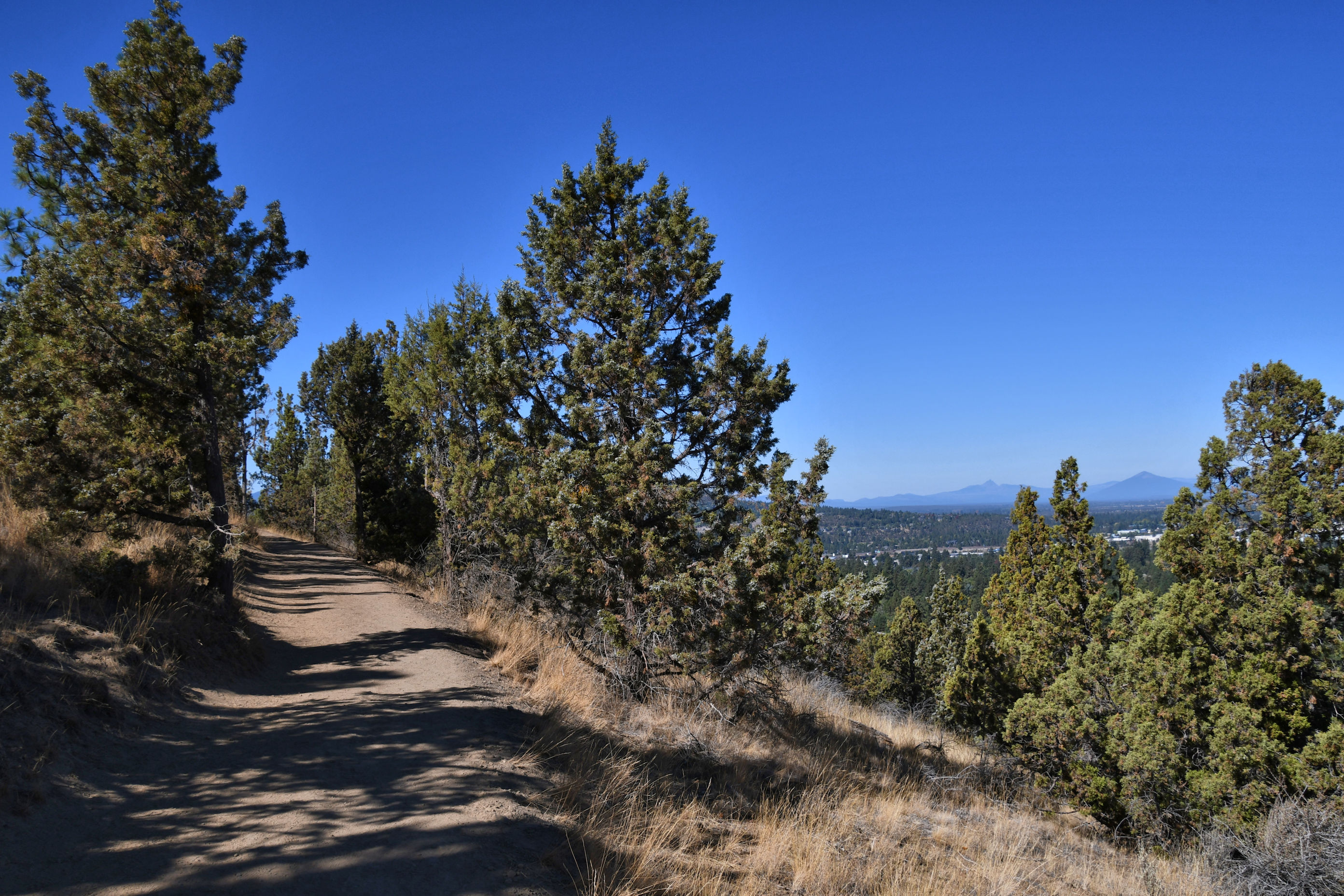
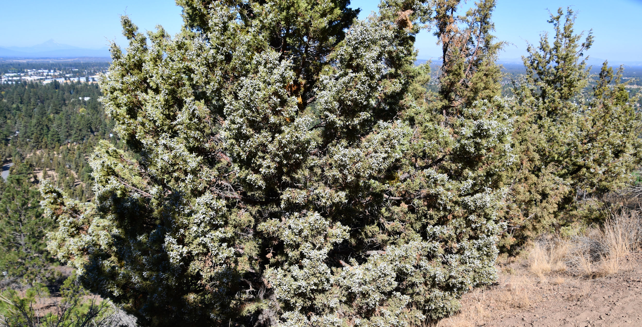
I rose above the trees and was treated to grand views across the valley in all directions.
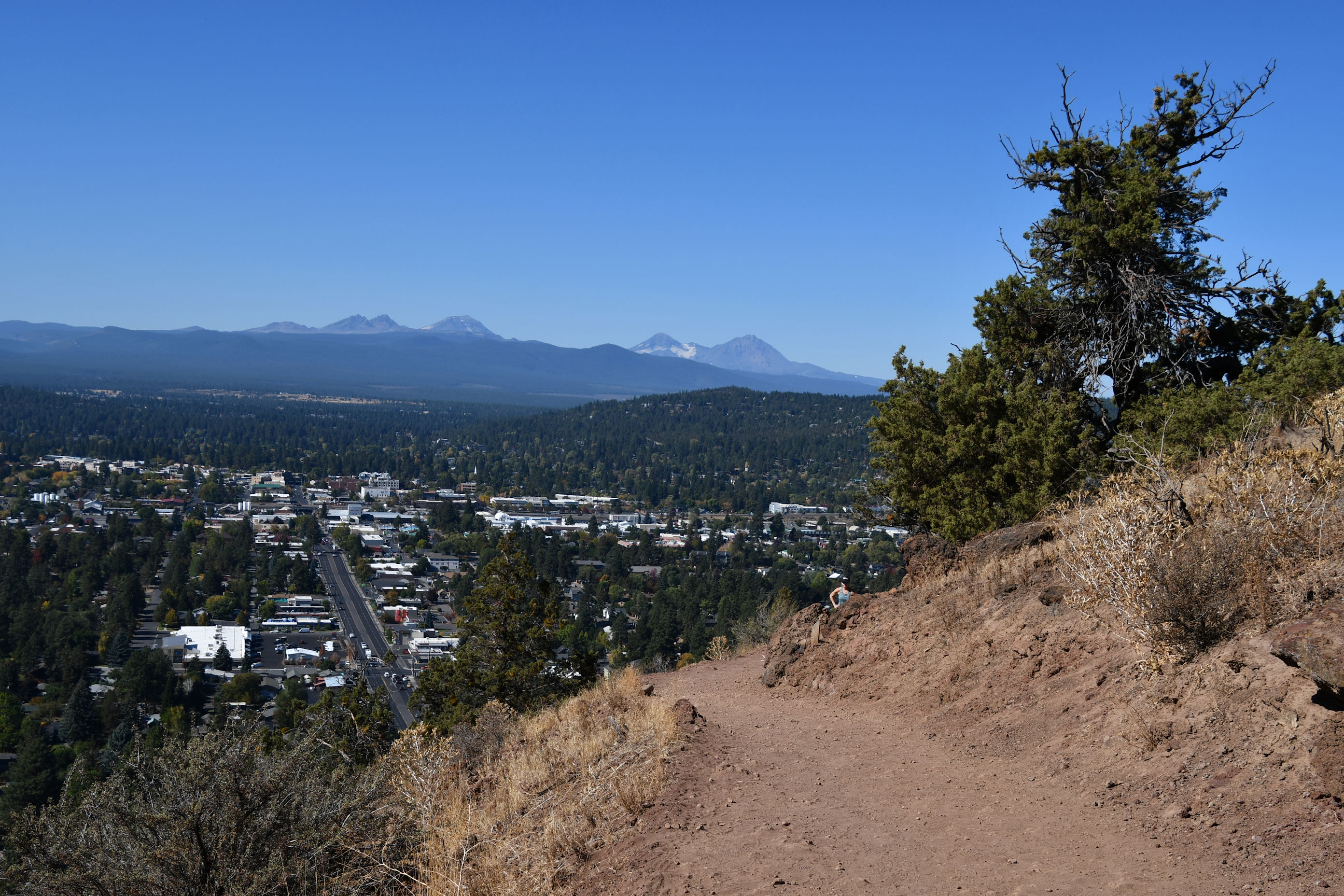

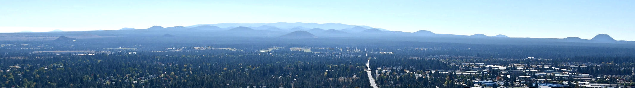


It was time to descend. I took my time and enjoyed the views all over again as I went back down the hill.
I decided two trails were enough and it was time to make the long drive home, so I went back to the hotel and checked out, and then headed north on Highway 97. On the way down the morning before, I had stopped at Warm Springs and dropped off a load of goods while they were in the middle of a goods drive to distribute stuff to residents. It was super cool. Everyone who wanted stuff lined up in their cars, then slowly drove in a loop around a parking lot. A whole bunch of volunteers loaded up their cars with clothing, cleaning supplies, masks, food, water, camp gear, etc. No one had to touch anyone and none of the visitors had to touch the supplies. Anyway, this was a day later and I was thinking about my friends at Warm Springs of course. Glad for clearer skies these days compared to most of the summer, but still aware of fires that have yet to be put out on the western border of the reservation, near Mt. Jefferson.

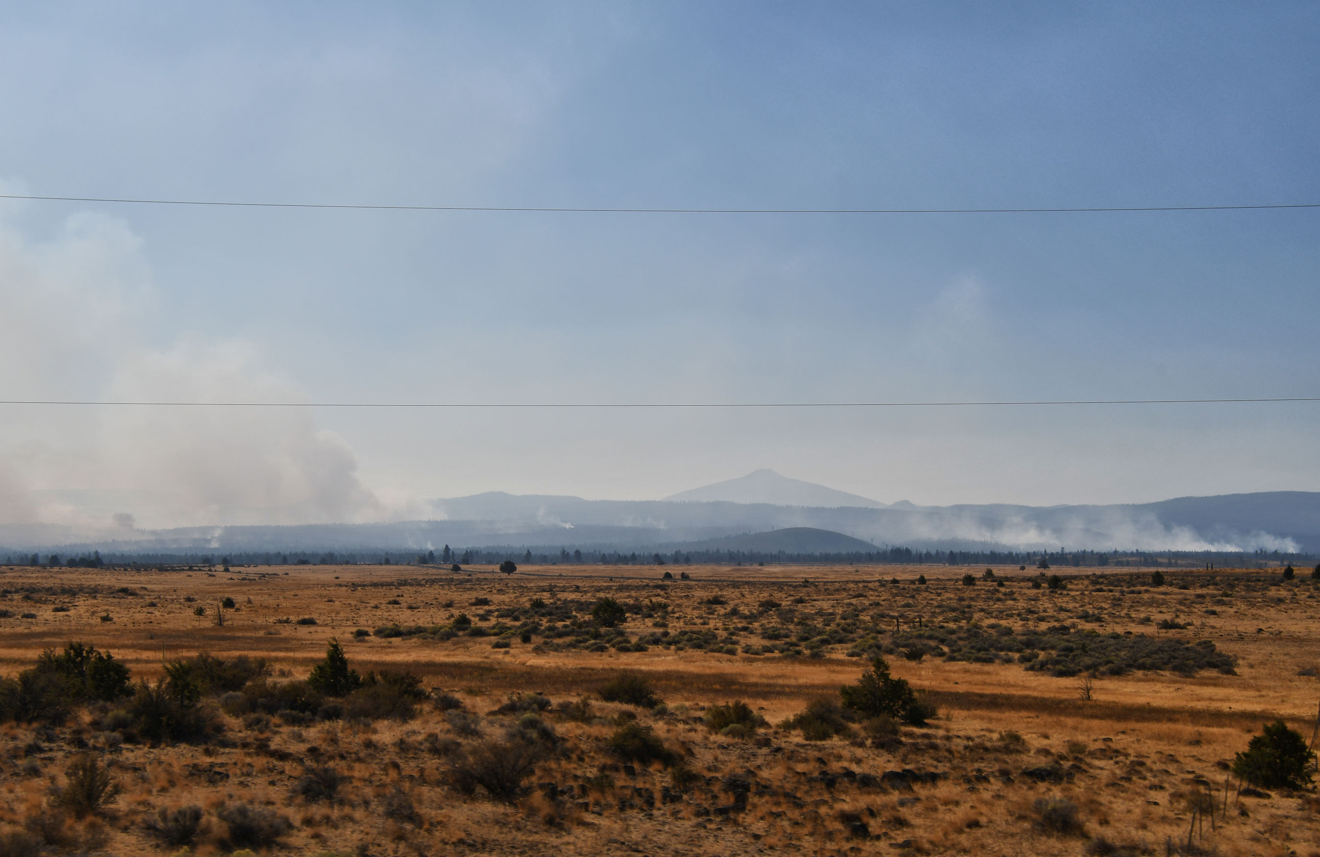
As I drove through, I could clearly see wildfires still burning. I’m not sure if these are new fires or the same old fires. It’s still so upsetting to see.
I pulled in to my farm, which I call Dragon Manor because it had to have a name and because I love dragons…anyway I pulled into Dragon Manor before it got dark and I had time to say “hey!” to the chickens and rub Racecar’s belly and start a load of laundry before the day ended.

Peggy and I need to spend more time in Eastern Oregon, Crystal. We drove from east to west this summer at the end of our trip around the US. And I discovered mountains I didn’t even no existed. 🙂 Our escapes tend to be more toward the coast. One place we’ve been a few times is Klamath Lake. We like kayaking through the Tules. That may be our next trip. We have more or less committed to getting out for one week each month— when we aren’t out 0n the road. Enjoyed the post. Thanks. –Curt
Glad you discovered new mountains! There is so much to see in this big country. I think it makes sense that you and Peggy head to the coast because it’s dry where you live. I live on the coast, so I head inland! I heard about this narrow canyon hike called Crack In The Ground or something…that is in Christmas Valley, and even farther out into the Eastern Oregon desert. I’m going to have to go check that out too. A commitment to get out at least once a month is a good way to get through the pandemic sane. Every time I start to go a little crazy I realize it’s because I haven’t left the house enough.
I confess I had never heard of the Blue Mountains. 🙂 Or The Crack in the Ground. Getting out is both good for sanity and for exploring more of Oregon! We have an interesting, beautiful state. Do you have the book, “The Roadside Geology of Oregon,” Crystal? It makes a great traveling companion. –Curt
I am pretty sure I gave that book to Tara as a Christmas gift two years ago, and apparently it lives in their car now. 🙂 But it sure wouldn’t hurt to add a copy to my car.
I had an older one for years. The one by Marli Miller, an earth science professor at U of O Eugene is much better and is probably the one you bought Tara. If you Google Mardi you will find that she also has a site where she features photos from around Oregon related to geology. They’re good. Not at all like geology book photos used to be. 🙂 –Curt
Splendid trail records – and I like the speculation about Galileo 🙂
Ha ha, I’m glad you liked that joke. Am I right?!
Of course 🙂
I too love dragons!
Well then, whenever I get a chance to meet you and your wife, I’ll show you my dragon-wagon (I have personalized plates on my Jeep, haha).
Nice . . . I don’t like pushing anything on other people’s blogs, but you might like some of my dragon-related fiction. I’ll drop one link, and if you like it, I can point you to more (but, again, stressing I’m not asking or expecting it to be read).
https://dispersertracks.com/2013/02/11/dragon-themed-writing-contest-saves-my-bacon/
Delightful post with two hikes – I am mixed about paved roads in nature – see their value and I know it can help with safety for overlooks – but I can see why you prefer to hike and get the experience (and all those photos)
And it was nice to hike with you you via the post and like how you ended the post by bringing us back to dragon manor to start a load of laundry too! All fresh from the hike
Ha ha! You’re so funny. I barely thought about writing that I had to do laundry, but now that you mention it, I see that laundry is a way to connect. We each have our different lives, but at some point we are both doing laundry. Funny you mention the access with paved roads. For some reason, I always notice trails that are wheelchair accessible. I think paved roads are similar in my mind: a way to bring people to places when they couldn’t otherwise come. In Myanmar there is a trail used by people on pilgrimage, and my traveling companion said “no way, we’re taking trucks.” And that turned out to be the most amazing adventure! Check it out if you’re interested: https://crystaltrulove.com/2018/02/16/the-golden-rock-at-kyaiktiyo-pagoda/
I will
Check out the link and look forward to it – it has been nice to connect this week.
—
And the laundry part also was nice because it was kind of like just back to everyday life after the adventure – 😉
What a great day you had! The road and cement on the top is so underwhelming. If I hike, I prefer to reach places that cars cannot! 😀 But yes, of course you preferred to hike than drive up there. I love it how you pick signs. That’s how you end up going places. 🙂
Oh this is wonderful that you picked up on how I read signs. I had to re-read the post to find out what you were referencing. Yup! I am good at interpreting signs, especially at making signs support what I want to do anyway. I agree with you: the concrete and pavement at the top was underwhelming and it would feel more satisfying to get to a place that cars couldn’t reach.